🗓️ November 10, 2025
🏁 Kilometers : 411
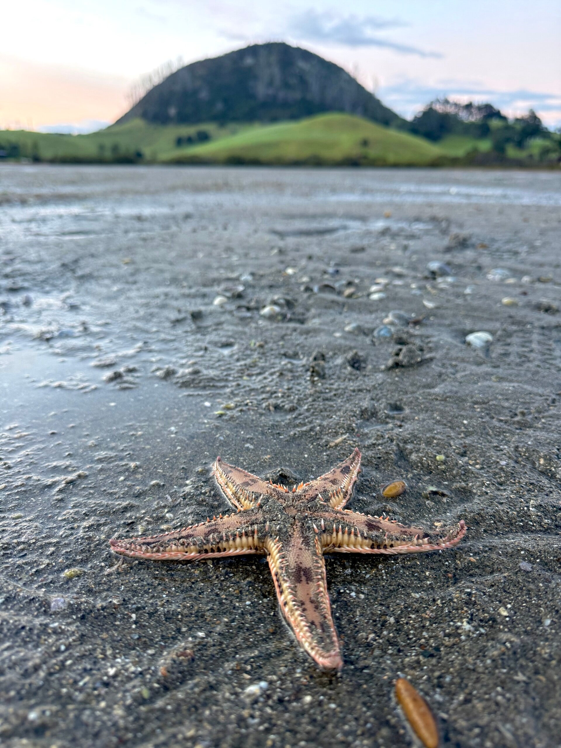
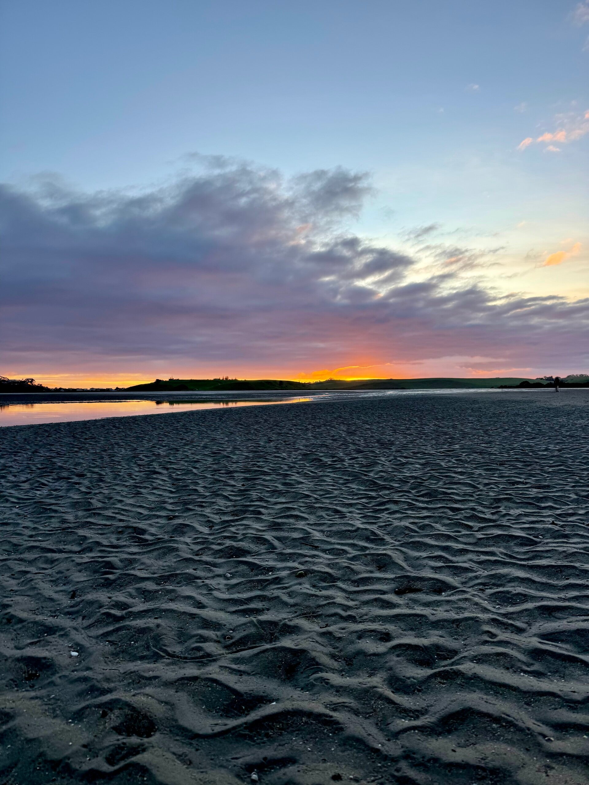
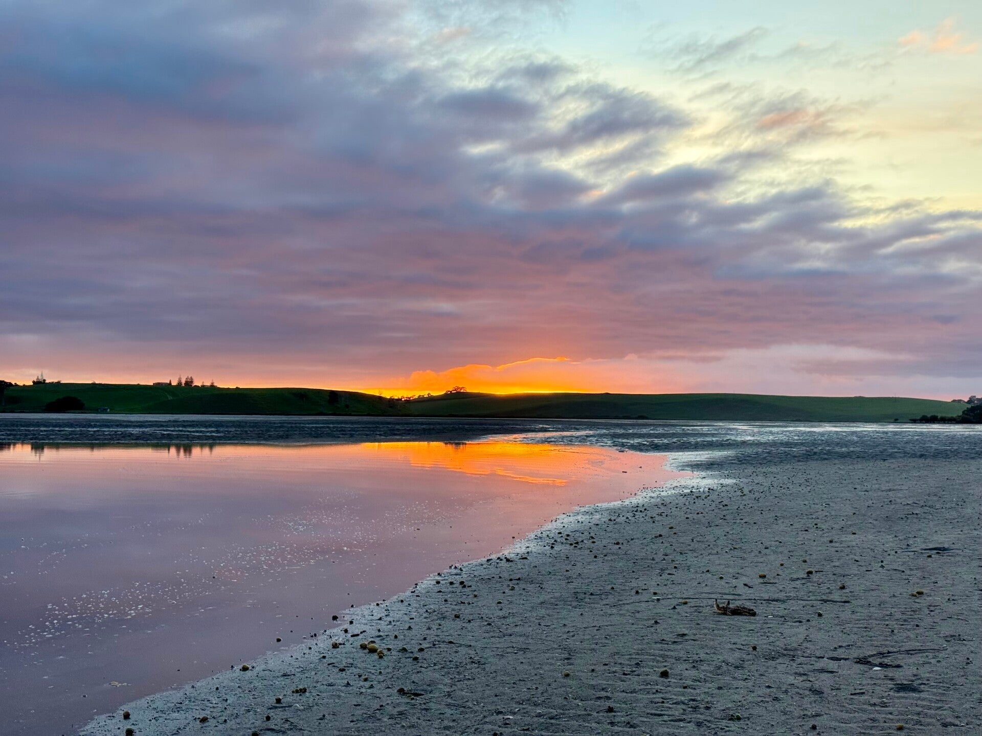
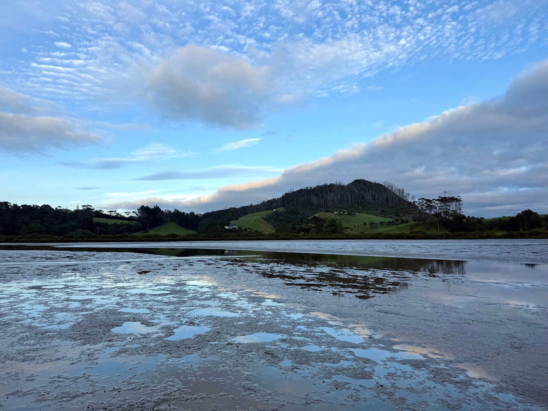
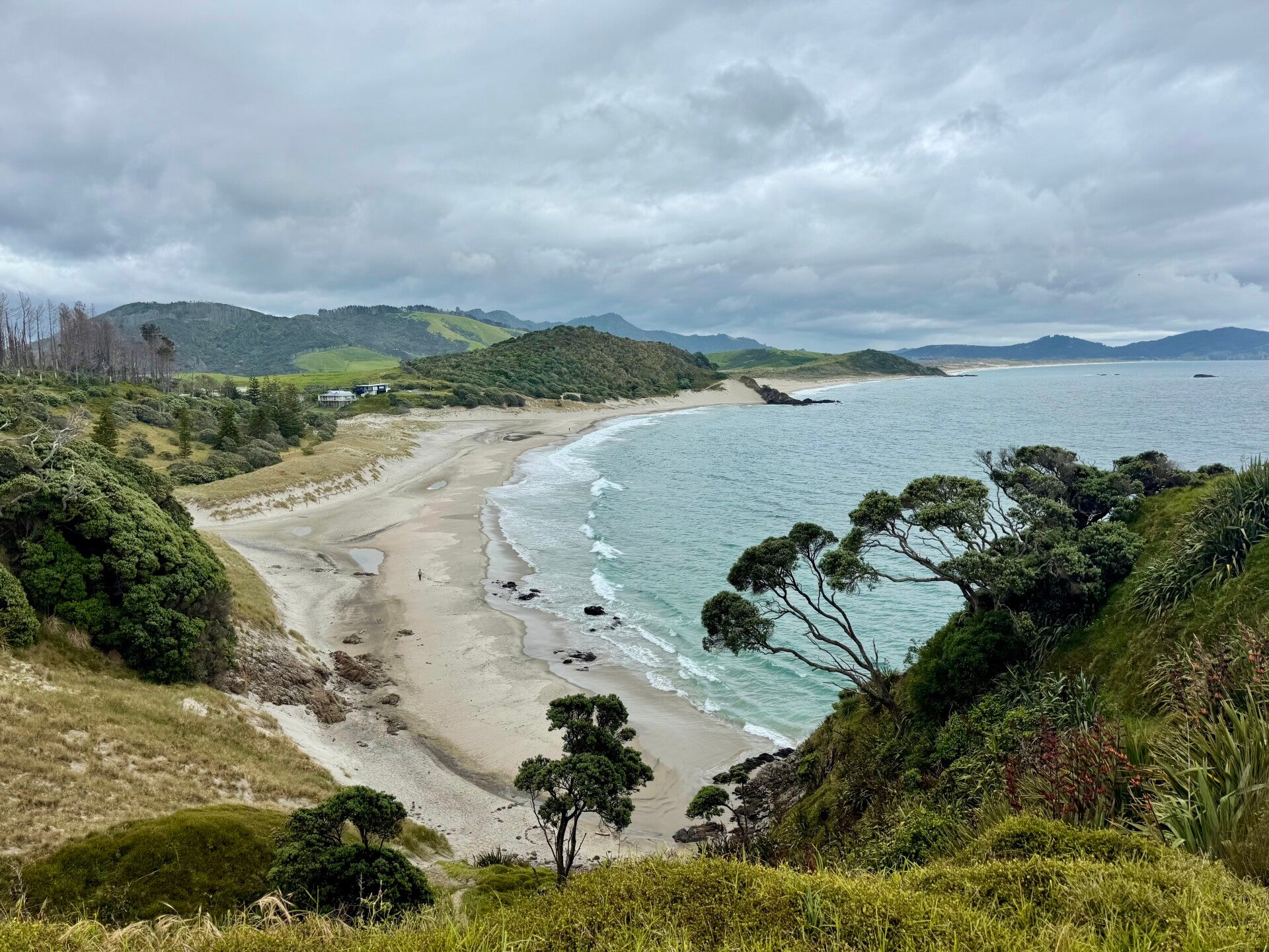
6 a.m. I arrive at the entrance of the Taiharuru estuary, having just walked the two kilometers separating it from the small village of Pataua. There are eight of us crossing the three kilometers at low tide. Dawn appears gently with orangey hues; the sunrise promises to be vibrant. I particularly love this suspended atmosphere of early morning, the silence broken only by birdsong. I slip on my camping sandals (a lightweight pair that allows me to leave my shoes behind after the hike) to cross the bay, which is made up of a mixture of sand and a kind of clay. Mangroves surround the estuary, as well as hills covered in meadows in the background. As I walk further into the bay, a few starfish litter the ground, and numerous puddles left by the previous high tide reflect the intensifying colors of the sunrise, giving the impression of an artist's palette laid out on the floor. The horizon begins to blaze, the clouds floating above giving the impression of a vast inferno. In fact, for those who have been following the news, a major fire broke out 400 kilometers further south in Tongariro, burning 3,000 hectares. Some Te Araroa hikers who were there during the blaze had to be evacuated by helicopter. I'll be passing through in about a month.
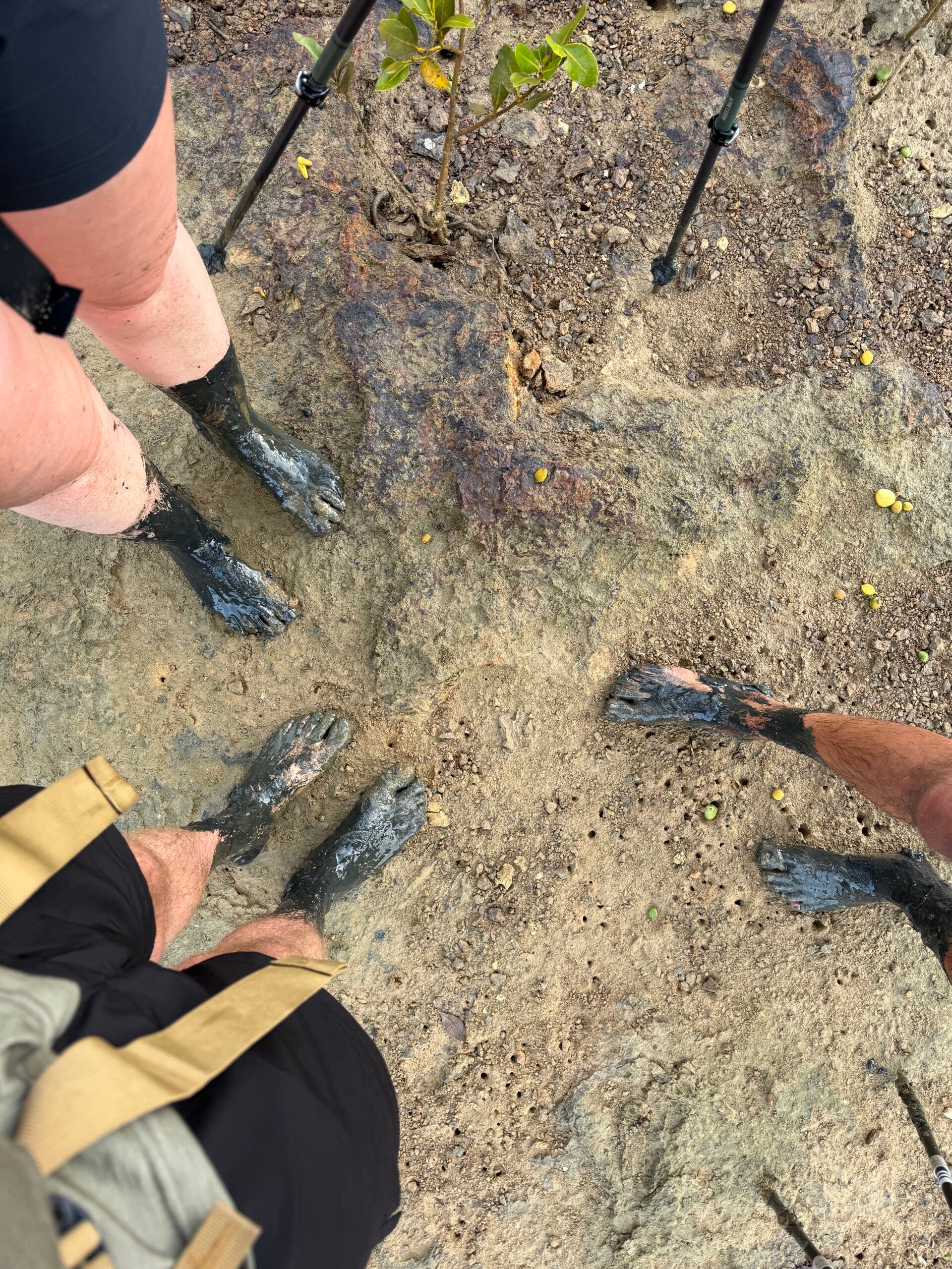
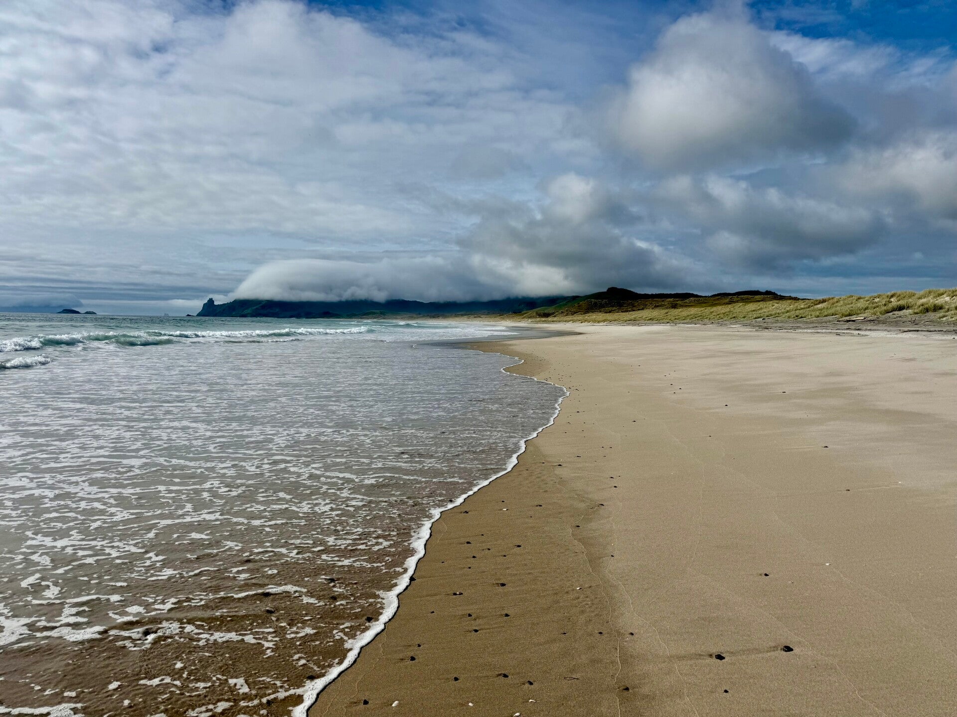
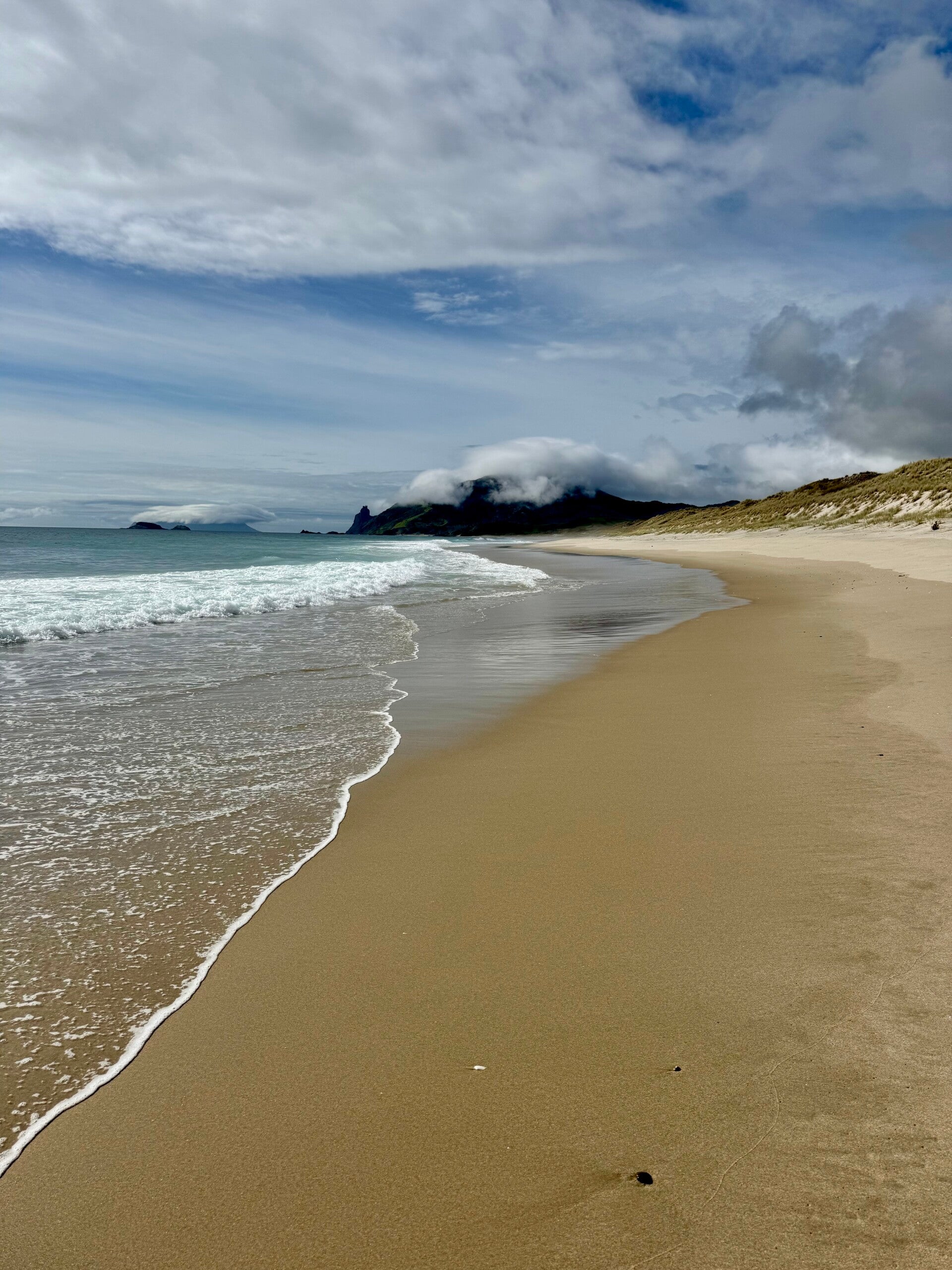
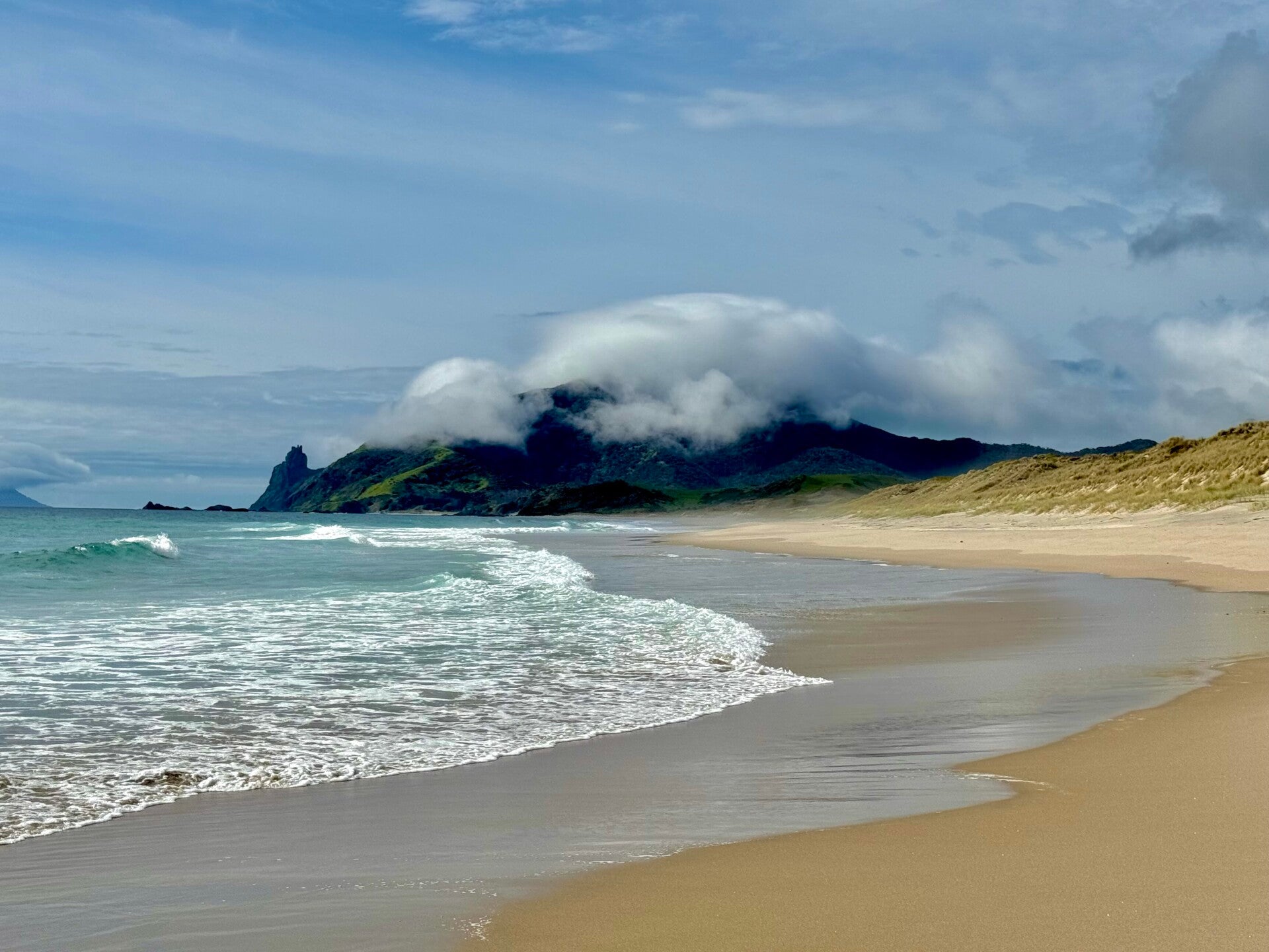
We cross the estuary, curving east, then south. To get out, we have to cross an area of particularly pungent, muddy clay. I enter it barefoot; my friends who passed through a few days earlier warned me that the nauseating smell had clung to their shoes for days. The child in me revels in the sensation of plunging my feet into the mud, sinking up to my mid-calf. Each step is a delight, a strange kind of Proustian madeleine. Leaving the estuary, we crossed a long stretch of meadows; it seemed nature had anticipated our needs, the dew-laden grass impeccably cleaning our feet. By the time we reached the end, I am clean! We put our shoes back on and set off again, Pablo and I together, with a long day of walking ahead of us. We climb a series of hills, descend the other side via a gravel path, and reach a 6-kilometer-long beach, the end of which marks our 400th kilometer since Cape Reinga.
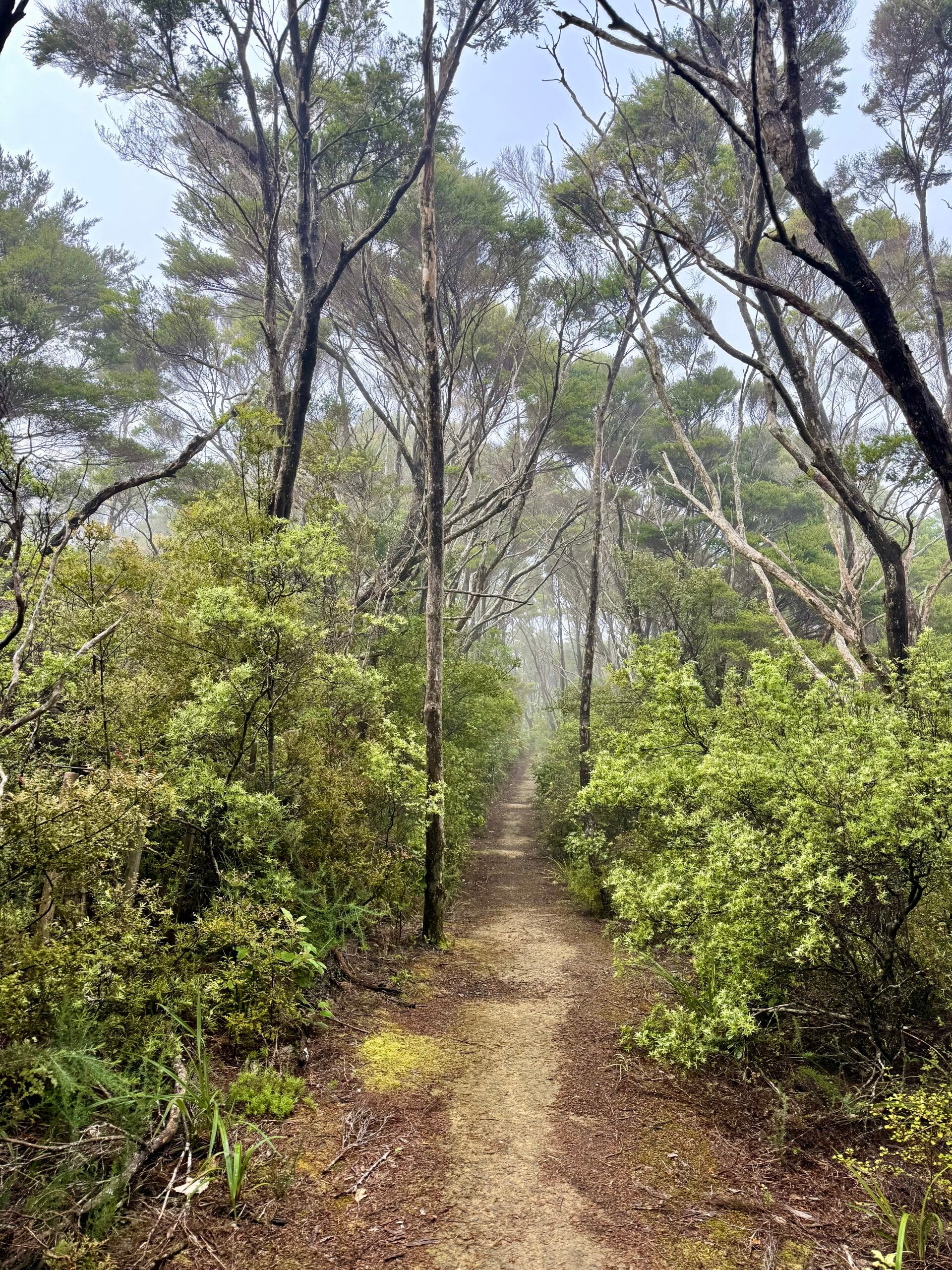
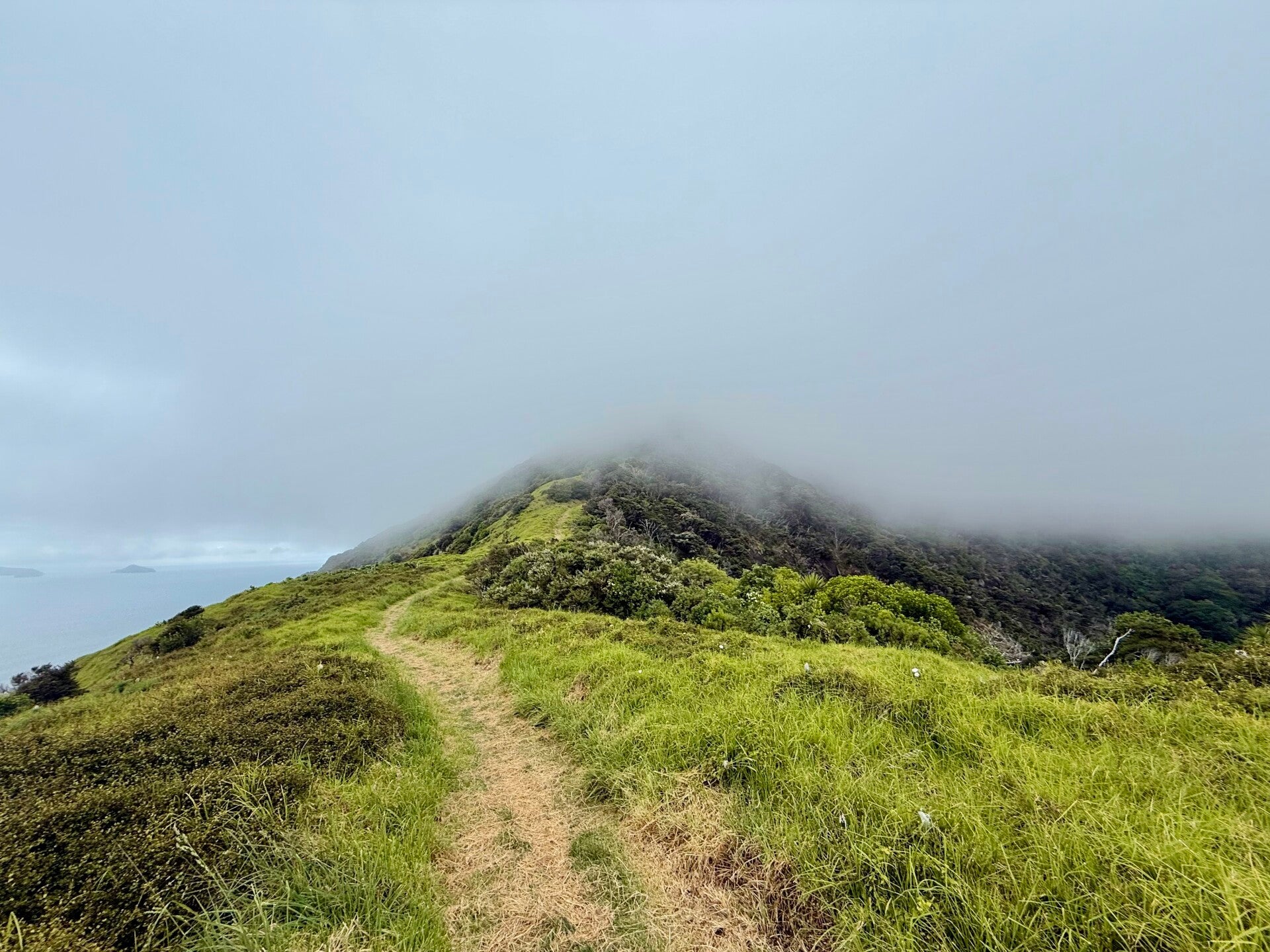
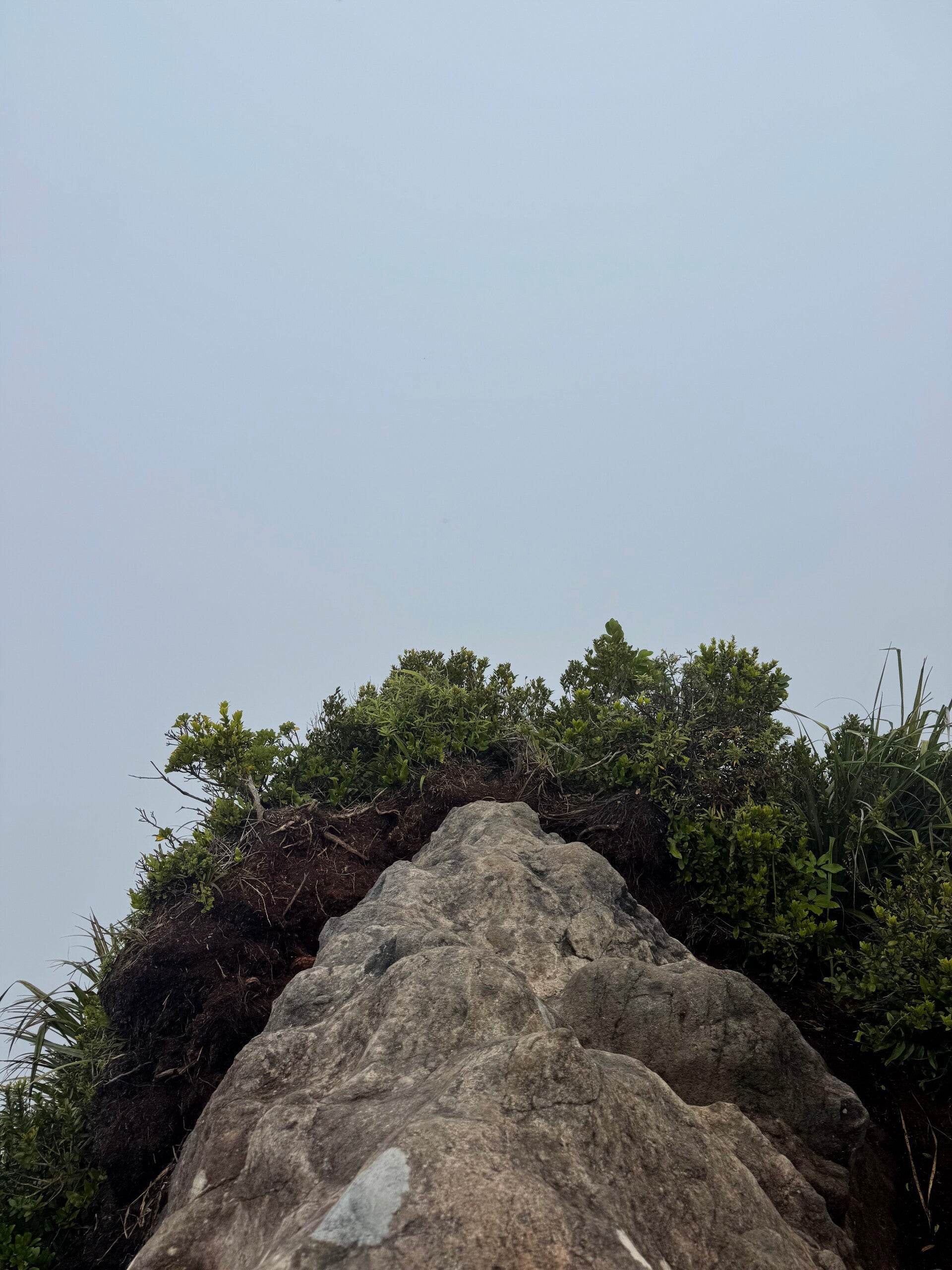
We take our lunch break, satisfied to have already covered 18 kilometers. However, what we can't see, hidden in low clouds of which only the base is visible, are the imposing rocky spurs of Bream Head and Lion Head, which rise to 450 and 400 meters respectively. They stretch for 6 kilometers at the tip of the Whangarei peninsula, their bases plunging steeply into the sea. We begin the ascent directly from the beach, the steep incline of which makes our legs feel heavy from the very first steps. We start on a grassy slope before the trail plunges into the forest. I haven't read the official notes today (which I usually do every day); I hadn't mentally prepared myself to climb such a long and steep hill after already having hiked for a good half day. I can't see far ahead because of the fog and the forest, but every time I look up, I'm discouraged to see only uphill climbs and stairs. Most of the time the path is well-maintained, but in some sections the gravel gives way to slippery mud, which doesn't help our progress. Reaching the summit of the first peak, Bream Head, I feel utterly exhausted! The backpack feels heavy on my shoulders after the steep ascents we've just made. But I'm glad to have reached the top. I imagine I'll be staying on a relatively flat ridge before descending the other side… I was so wrong! We continue with a series of small descents and ascents before plunging several hundred meters… I'm starting to understand that if we're descending so soon, having barely crossed half the mountain range, it's because we'll almost certainly have to climb again… which turns out to be true. Another climber looms over us, seemingly mocking us. I'm thirsty and have almost finished all my water. I know that complaining won't do any good, so I push myself to find a good pace to finish this day's hike! We go up, then down a little, up again, and down again... we feel like we're taking two steps forward and one step back... our legs are heavy, and the thirst makes me want to lick the leaves of the plants; I imagine all sorts of survival techniques I could use if I were ever lost in the wilderness without water.
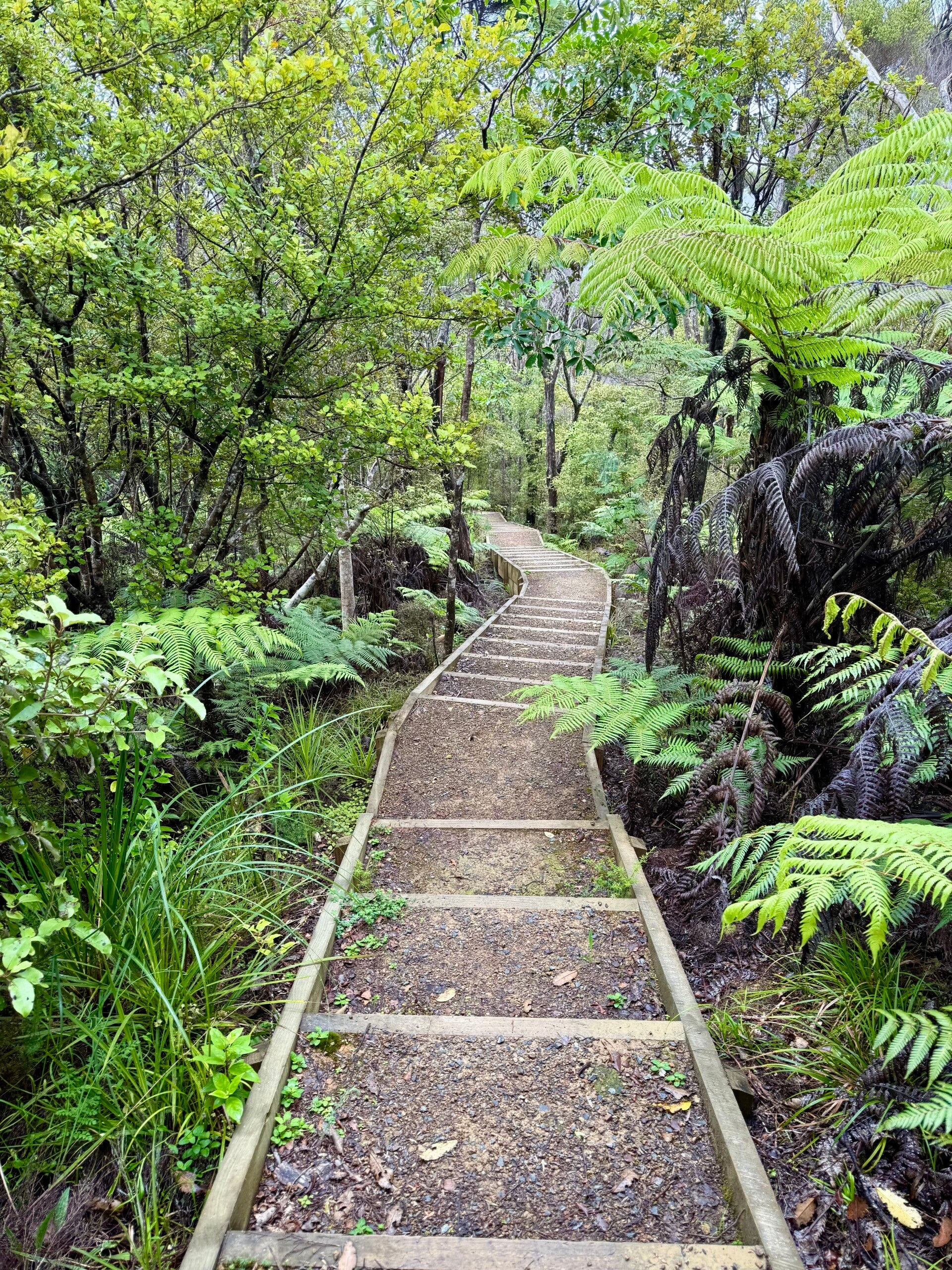
And finally, after what seems like an eternity, we reach the summit. I drink the last sip of water from my bottle, which I had saved for the top. We decide to descend quickly; we have no view anyway, a thick fog obscures everything. The descent is relatively easy via a series of continuous steps. We only learned later that between all the ascents and descents on this small mountain range, we had climbed 800 meters of elevation gain that afternoon... after the 18 kilometers already covered during the morning, it made for a long day.
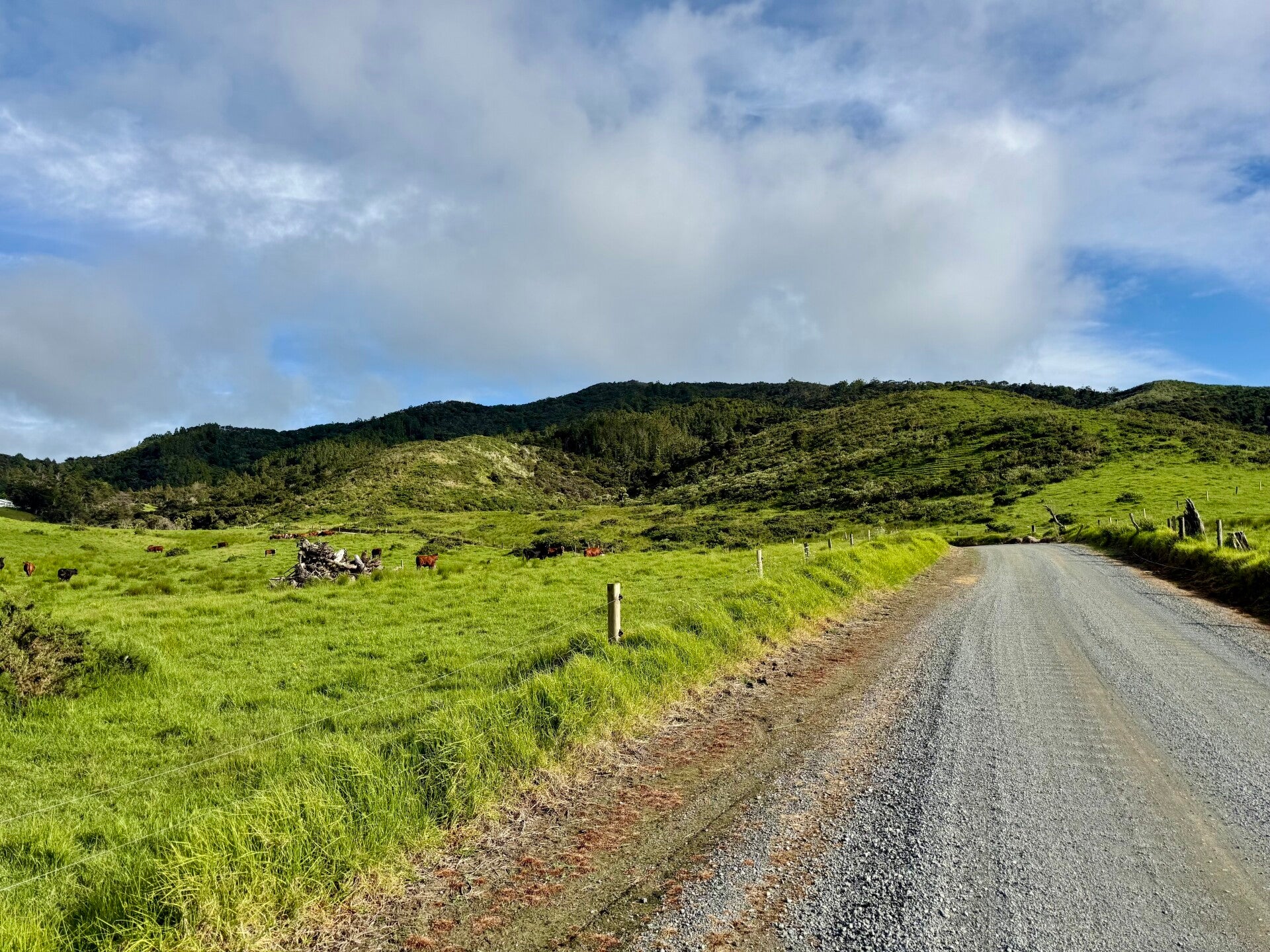
Upon reaching the bottom, we walked along a road for another 4 kilometers and arrived at the home of our hosts for the evening, Robert and Megan, who welcomed us as if we were their own children. We have access to a cozy little cabin at the bottom of the garden and could use the shower and toilet in their own house. We ask Robert what he did for a living, and he tells us he used to install safes for banks. Jokingly, I ask him if he could teach us some tricks for robbing a safe, since we are planning a heist. Robert then launches into a half-hour explanation of how we could do it—only to conclude that no, it wouldn't be possible, his safes are the best! The conversation was surreal, absolutely hilarious!
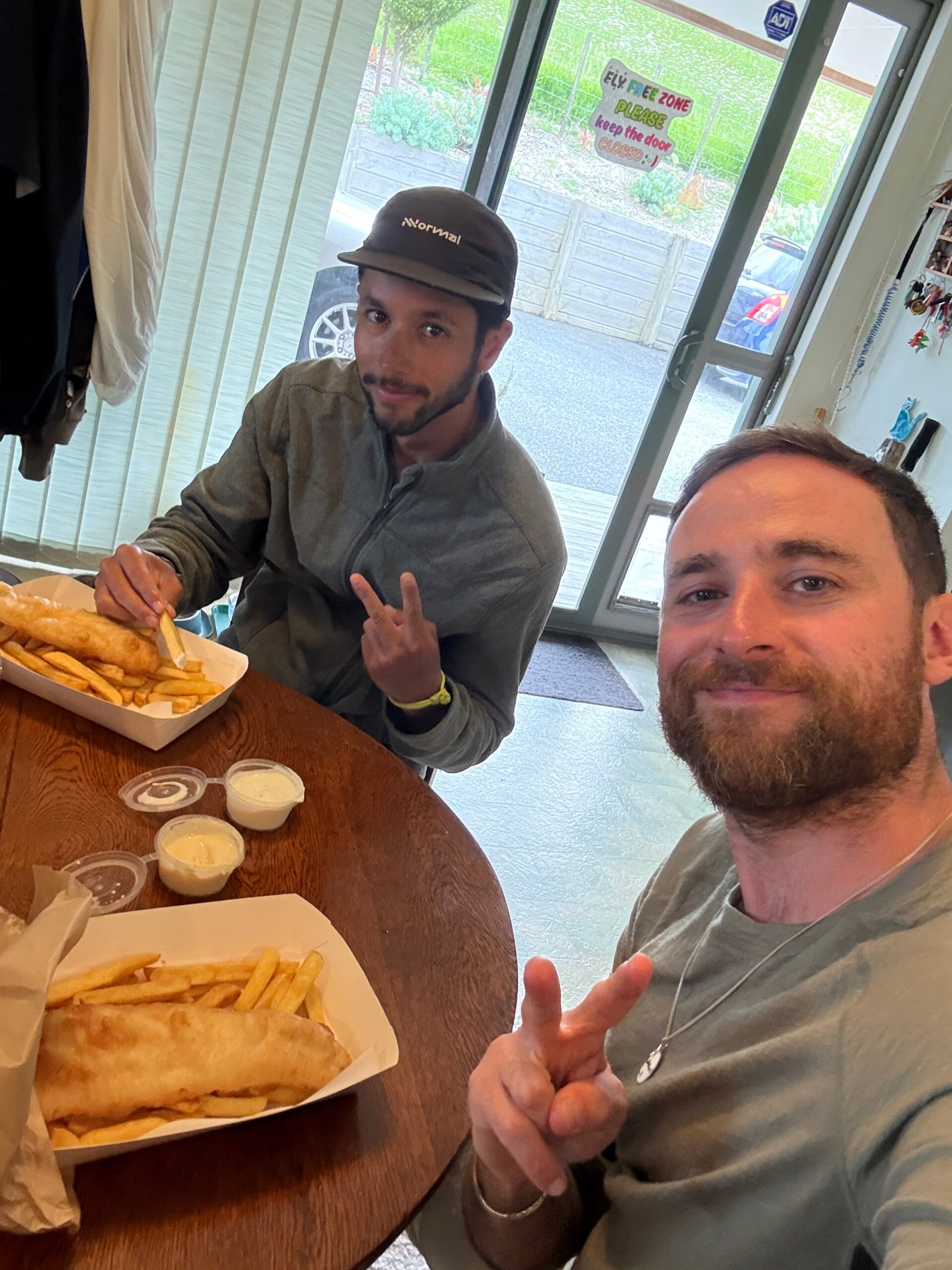
To make us feel welcome, they offer to drive us 10 minutes to find something to eat that evening. Fish and chips are on the menu. We eat our dinner in the living room while our hosts are watch ing a television program—it feels very much like home.Afterwards, we are playing darts, and I am eager for revenge. I finally manage to win a round, even though the score has ballooned to 11-1. It seems Guatemalans are crack shots!


Add comment
Comments