🗓️ February 18, 2026
🏁 Kilometers : 2587
We're starting a new section this morning. We're all tired from the number of kilometers we've covered lately, and we also realize that we haven't had a rest day in over two weeks, so we'll take our time walking today.
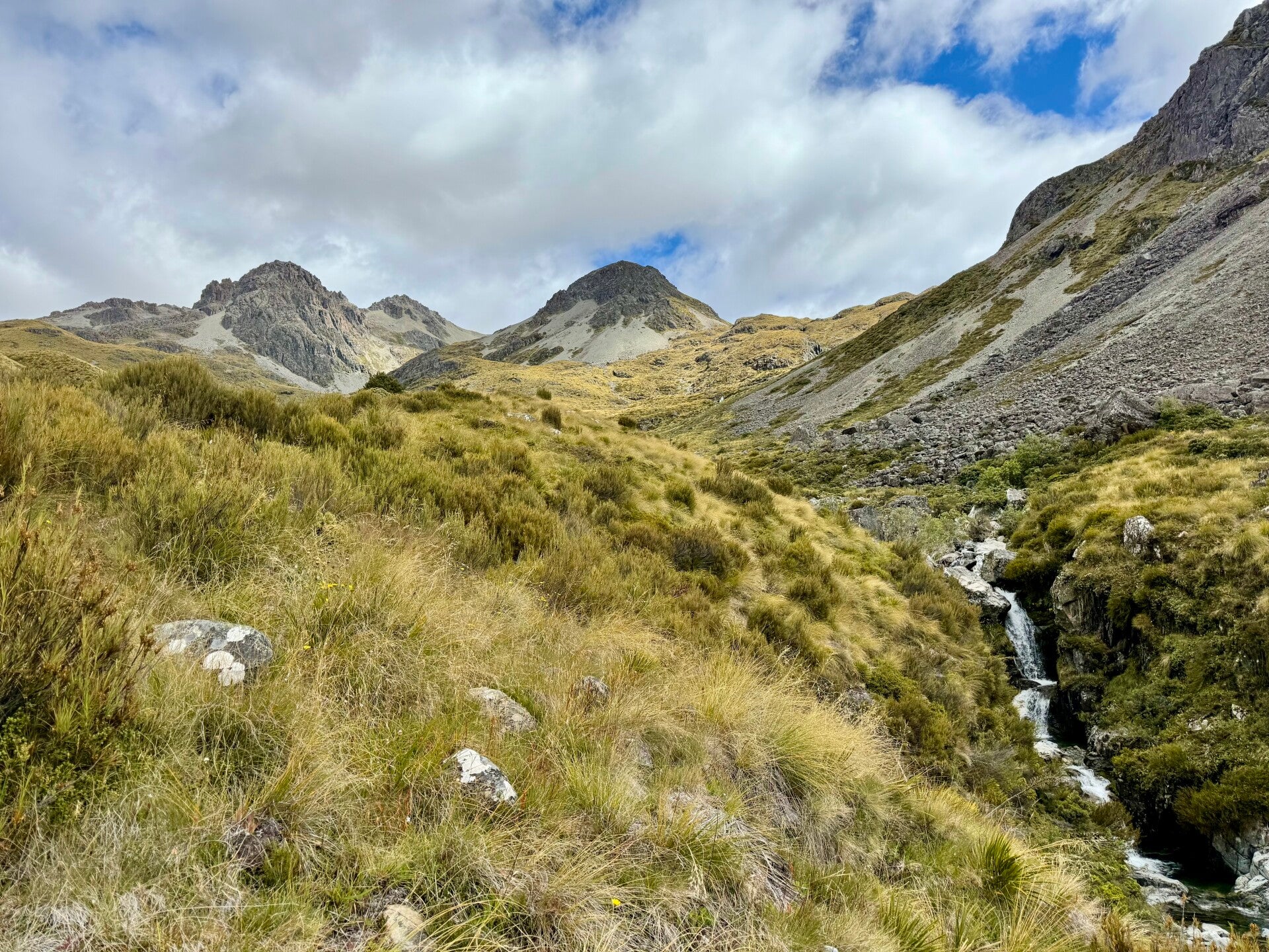
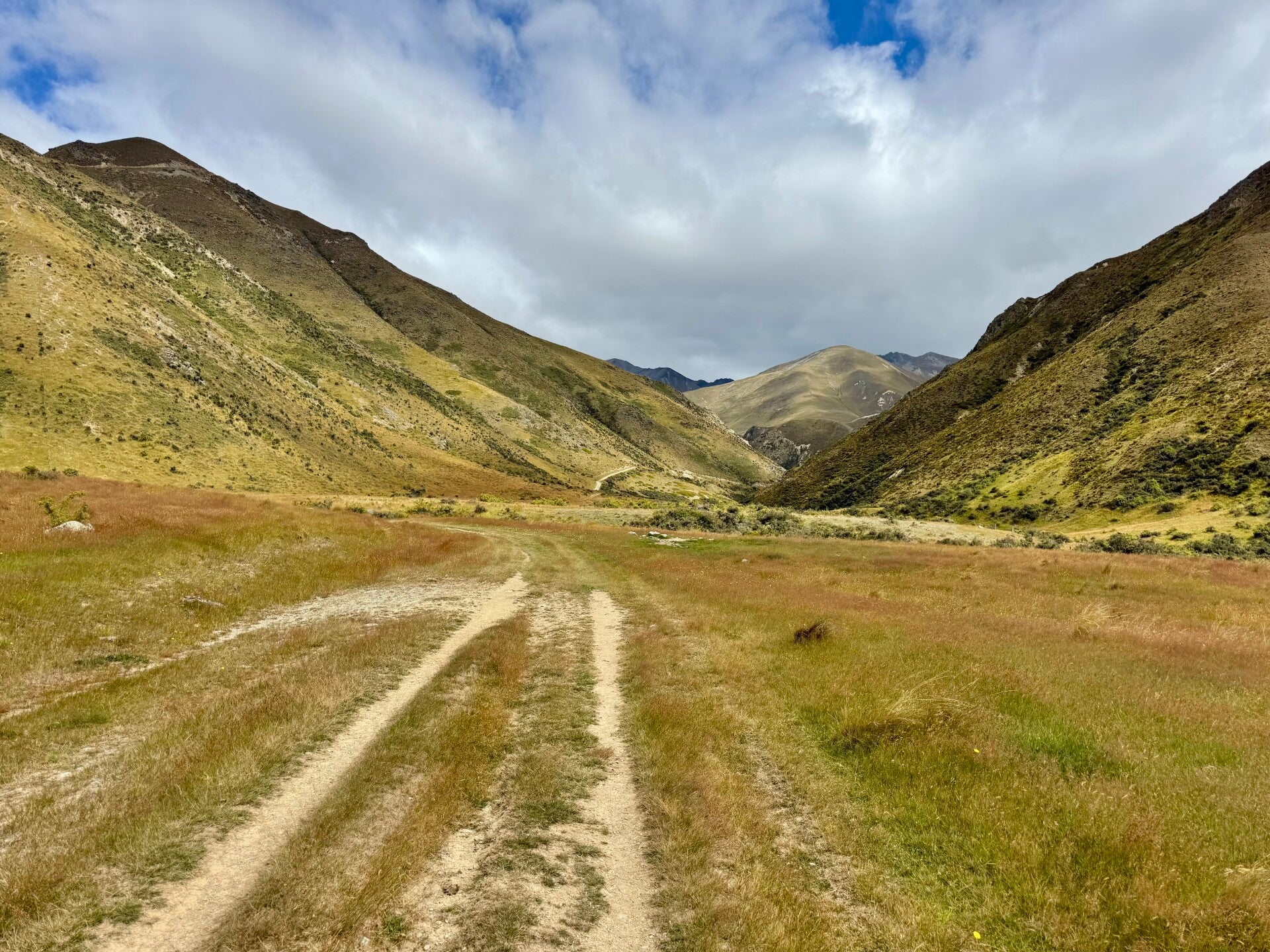
The path winds for three kilometers along Lake Ōhau before turning left and climbing gently for eight kilometers. The trail through the forest has a European style feel to it, well-maintained and sometimes with short switchbacks. We then emerge from the forest and climb the bare, rocky peaks, covered with the usual yellowing grass.
We take our lunch break at the pass. I leave Yvan and Natalie behind, who are taking a nap, and I descend the other side, following a small river that grows larger as I go down. Around 5 p.m., I decide to stop and find a relatively flat spot along the stream. The spot is superb for pitching a tent, with the river and the few peaks surrounding me, where the shadows of the clouds dance across the faces, sometimes rocky, sometimes grassy.
Natalie and Yvan aren't joining me; they stopped a little further up the trail. An evening alone is also nice, so I'm taking some time to read.
🗓️ February 19, 2026
🏁 Kilometers : 2620
33 kilometers are on the agenda today. We're feeling the fatigue, and a rest day in the next town will definitely be welcome.
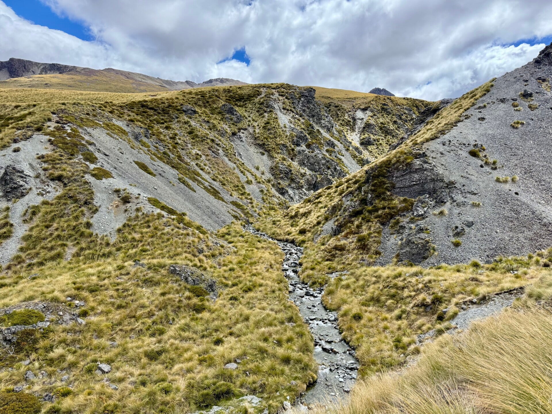
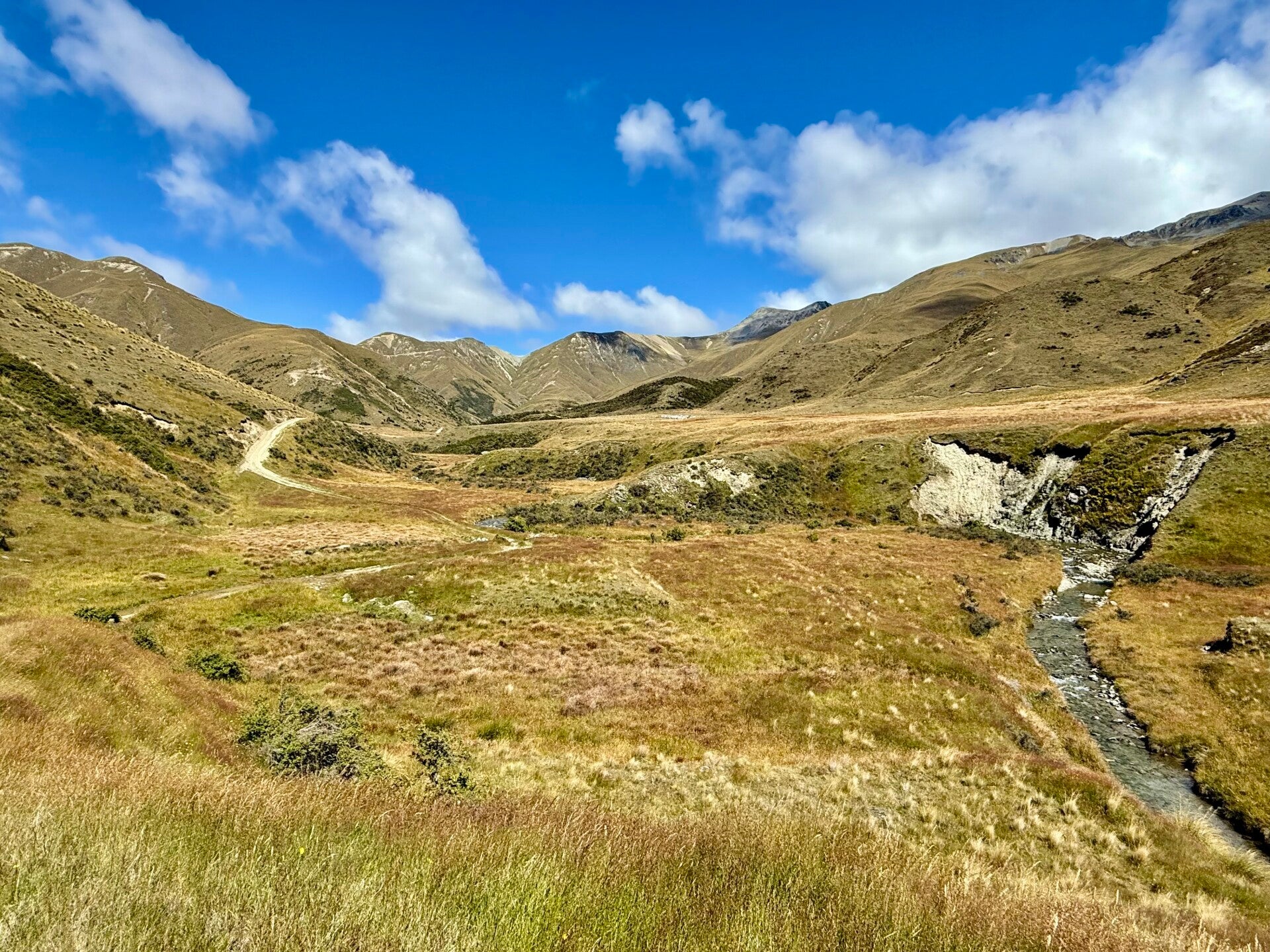
The trail descends a valley that widens as we go down until we reach a fairly wide river that we have to cross on foot. Luckily, the water level is low, so crossing is easy. In bad weather, we would have had to make a ten-kilometer detour to reach a bridge.
We then follow another river alongside an old, dilapidated gravel road and begin a climb. I pull ahead of Natalie and Yvan, and when I reach an intermediate hut, I take my lunch break. I see two vehicles climb the road and arrive at the hut, and to my surprise, I see Natalie, laughing, waving to me from the open window! Even here on this seemingly endless path, she's managed to hitchhike!
In the afternoon, we continue our climb, gaining 1000 meters in elevation to reach Martha's Saddle. The path descends on the other side and leads to the Top Timaru hut where we will spend the night in the tent, as all the beds are already occupied: first come, first serve. Outside, there are so many sandflies that I don’t leave my tent after washing in the river; I spend the evening in my little cocoon. Natalie pitch her tent next door, and we each eat our meals in our own tents whilst chatting together!
🗓️ February 20, 2026
🏁 Kilometers : 2656
I wake up at 5 a.m. this morning. I want to make it a long day to reach the town of Hāwea and its lake of the same name. I mismanaged my food intake and I won't have anything left tonight. So, 36 kilometers are on the agenda. I set off around 5:45 a.m. in the dark with my headlamp, having had the foresight to change the batteries for optimal light intensity.
For the first six kilometers, the path follows the riverbed itself, and it's not with a light heart that I plunge my feet into the icy water while it's still cold in the night. The exercise is a bit perilous, and I wonder if I'm really in my right mind to venture out alone in the dark in a river, but I wanted adventure, and I certainly got it! After a good 45 minutes, dawn breaks and progress becomes easier.
After the first six kilometers, the trail climbs the mountainside for a kilometer to bypass a narrow gorge before returning to the river.
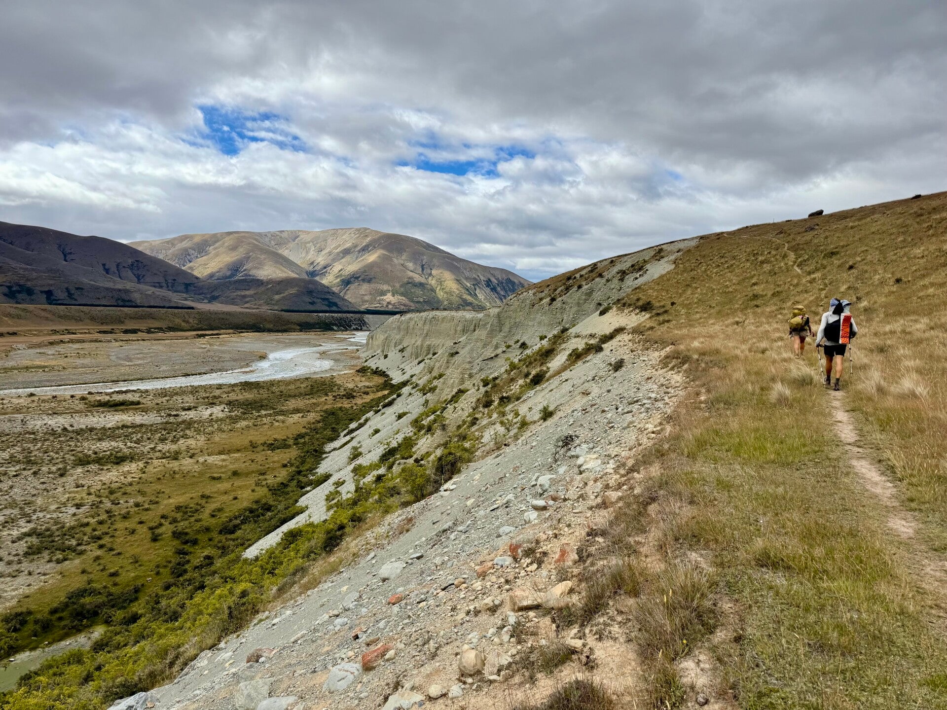
After twelve kilometers along the riverbank, the trail makes a sharp right turn in the forest and climbs directly up the mountainside without any switchbacks, resulting in a very steep 2.5-kilometer ascent. I reach a first intermediate hut located on the natural treeline and climb a little further to find a sunny spot for lunch. Emerging from the shelter of the trees, I find myself exposed to the strong winds blowing today.
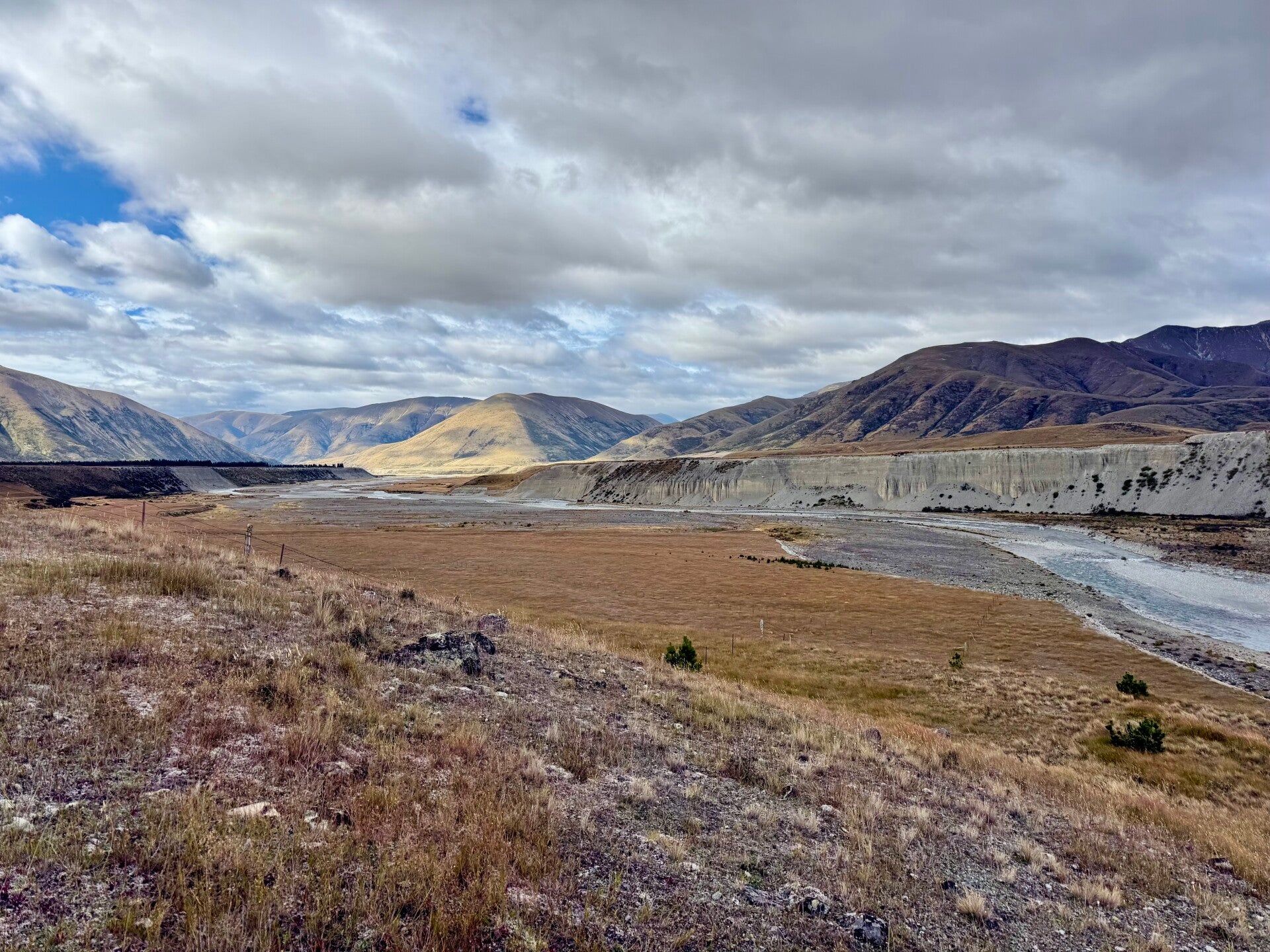
After lunch, I climb to the grassy heights, which fluctuate between 1300 and 1500 meters in altitude, for a few hours before reaching the end of the mountain range. It ends abruptly with vertiginous cliffs that drop in several tiers to the turquoise blue Lake Hāwea, 1200 meters below. I walk along the jagged ridges beside the void, pass the second intermediate hut, and begin a long descent to reach the lake an hour and a half later. I still have 6 kilometers to walk along the lake to reach the small town and its charming campground.
Tomorrow, I'm definitely taking a good day off!
🗓️ February 21, 2026 (day off trail)
A day of rest at the Hāwea campsite, my tent pitched on the shores of the lake with a magnificent view of the mountains. Rest and only rest!
Photos from February 18, 2026


Photos from February 19, 2026


Photos from February 20, 2026


Add comment
Comments