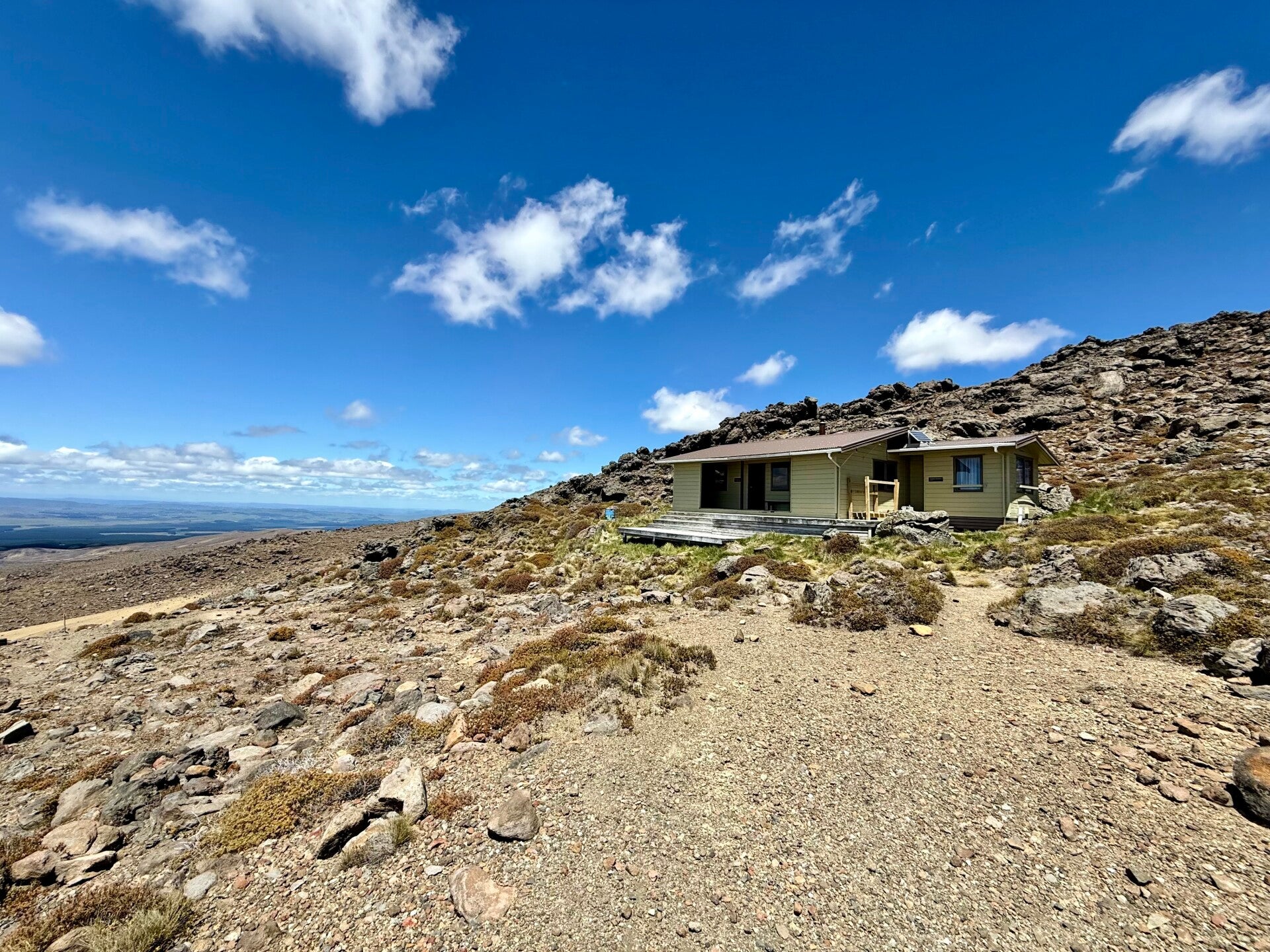
🗓️ December 12, 2025 (day off trail)
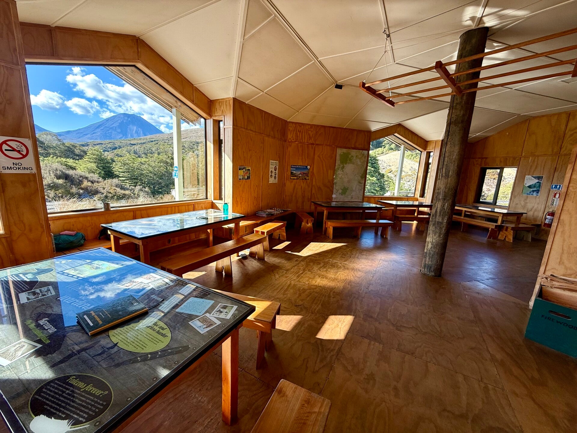
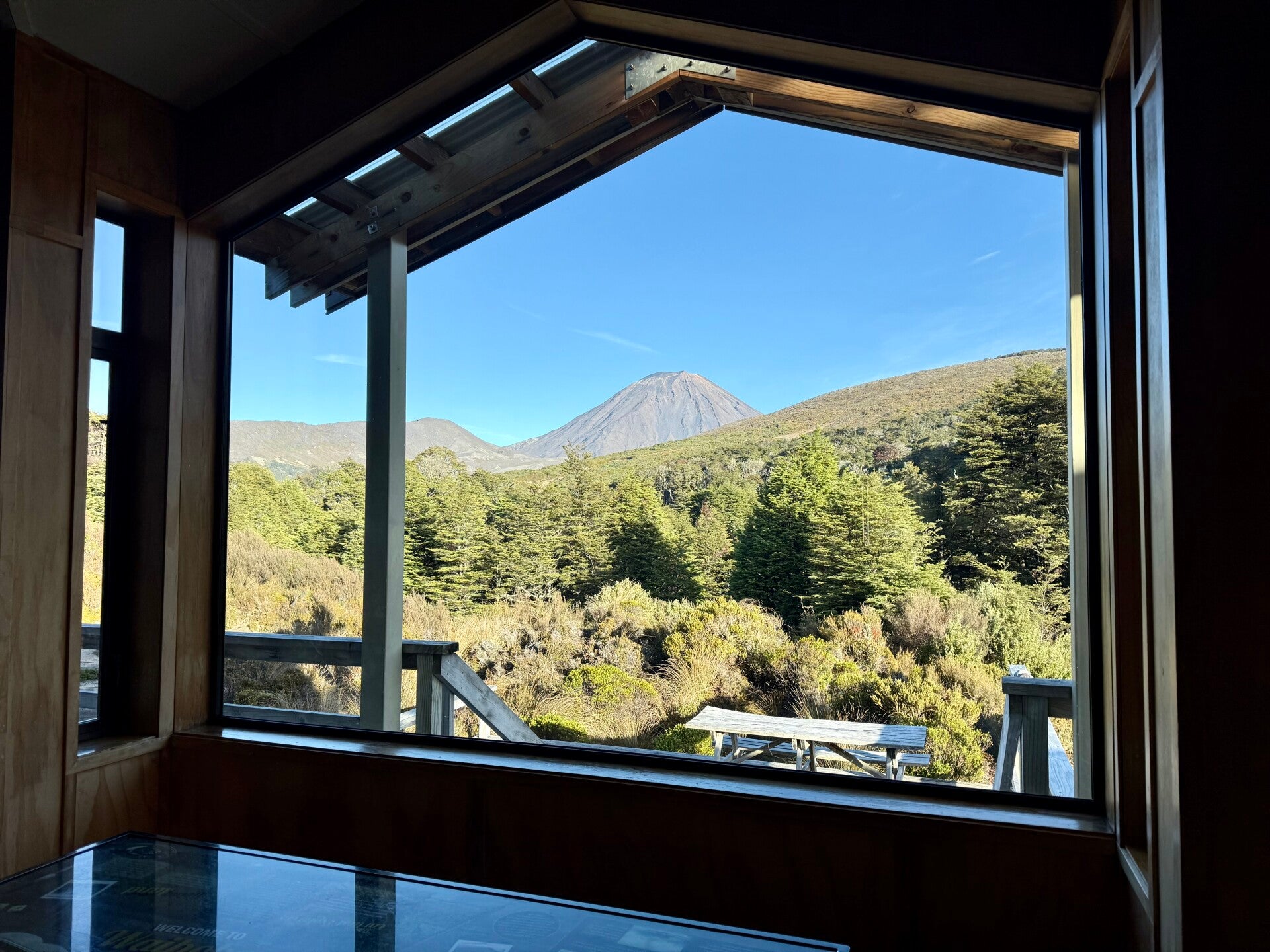
I spend my day enjoying the magnificent view of the two volcanoes from the Waihohonu hut; the rest is so beneficial as the air seems so pure here.
🗓️ December 13, 2025
🏁 Kilometers : 1192
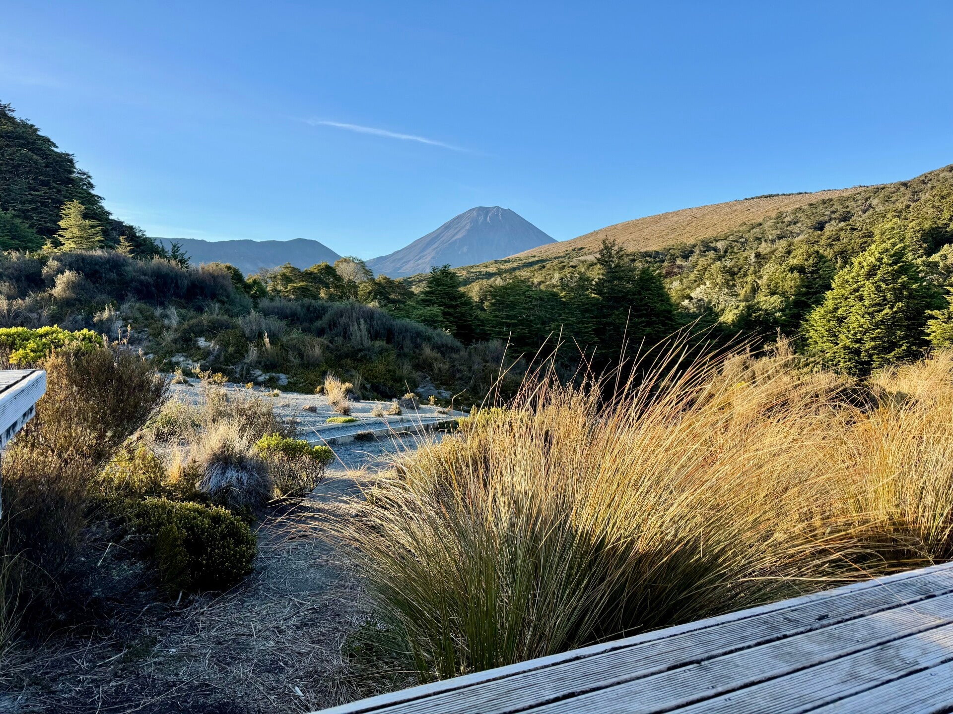
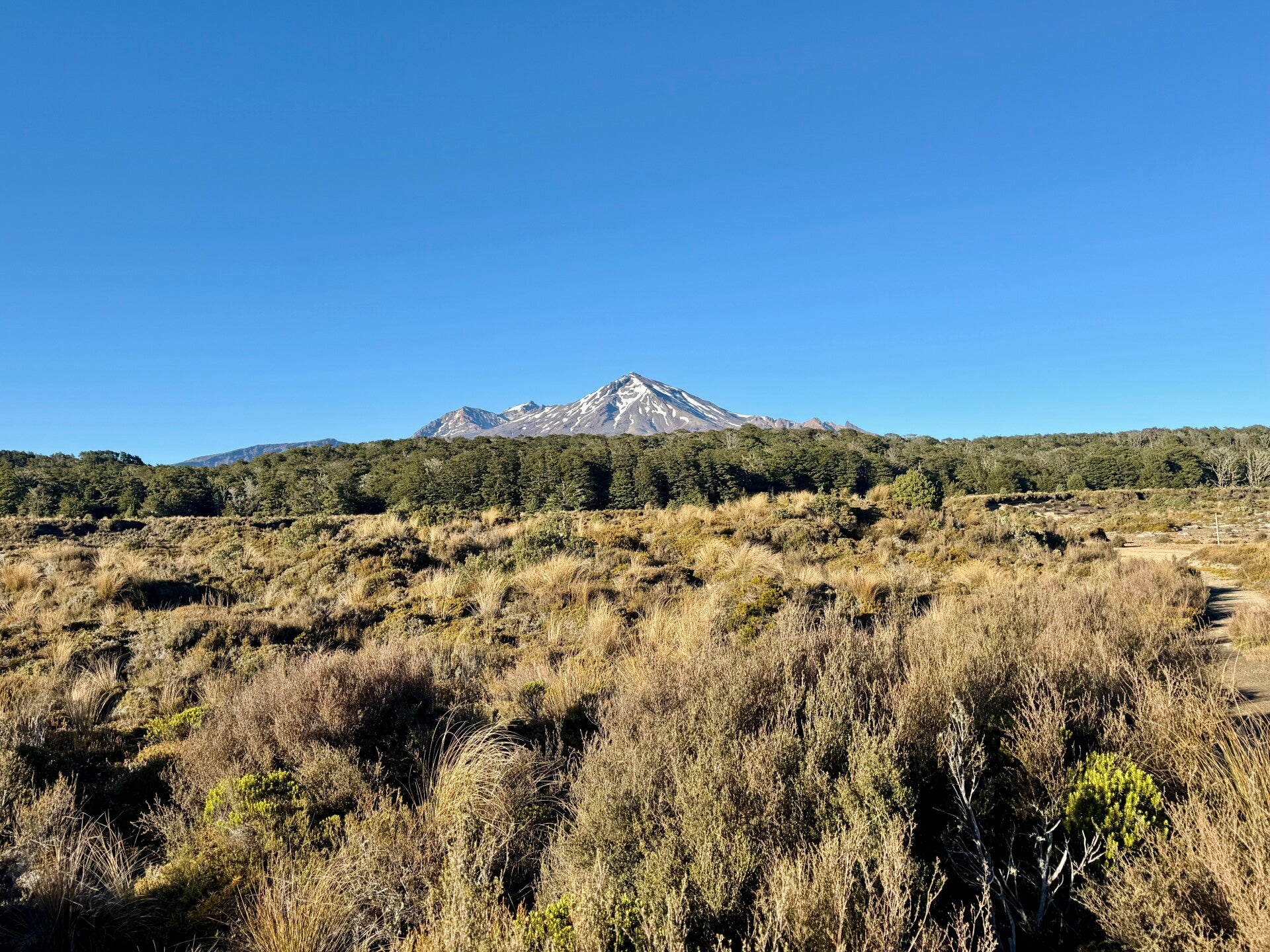
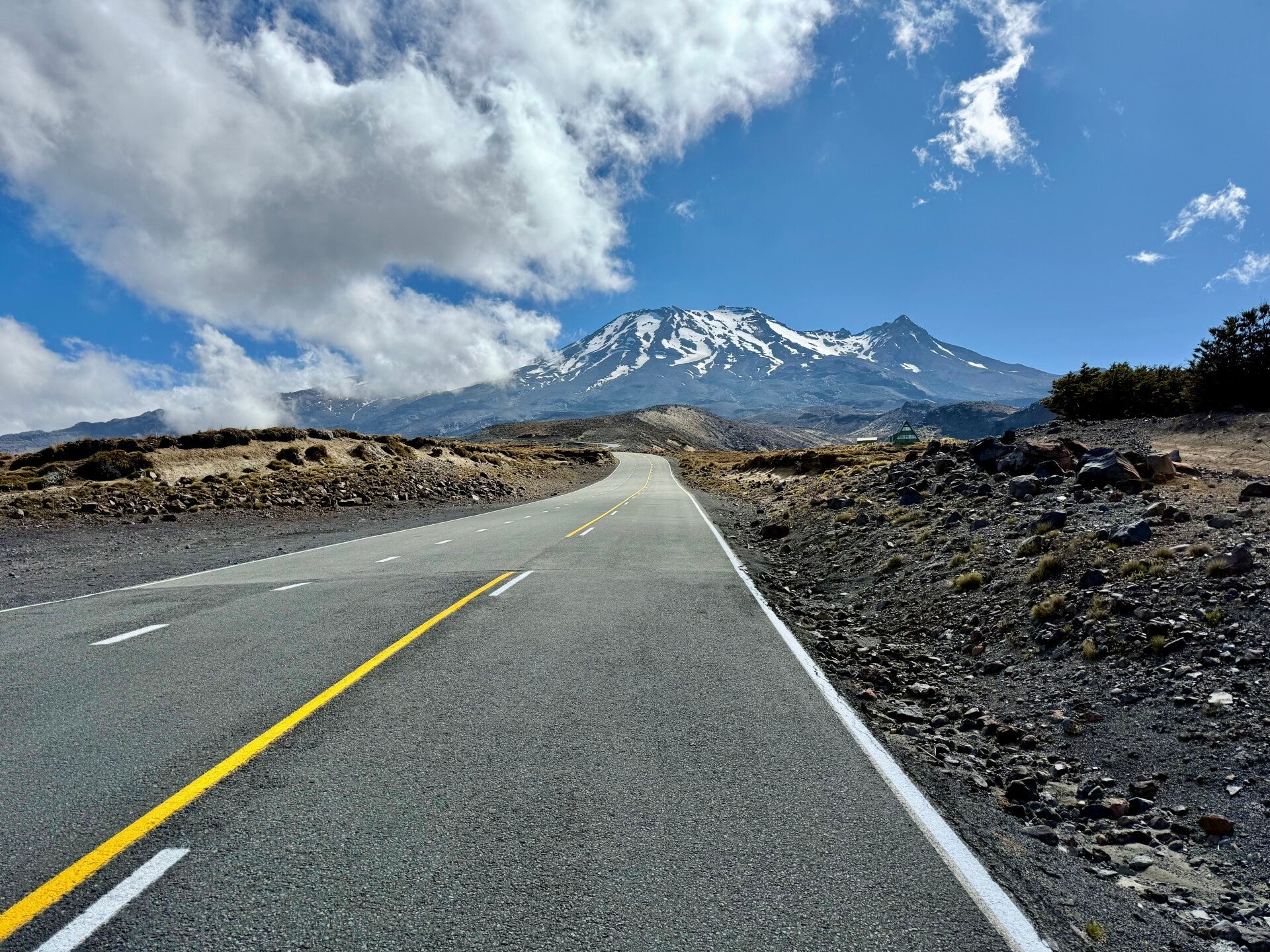
The hut I'm staying in is located northeast of Mount Ruapehu, which I'll be circumnavigating over the next two days. The goal is to reach the Mangaehuehu hut, situated at the southernmost tip of the massif. The sky is magnificent this morning, not a cloud in sight. The air is cold and windy, with strong gusts blowing from the south (remember that in the Southern Hemisphere, south is north…!), so a south wind is a cold wind! The sun's rays warm me whenever I find shelter from the wind. I quickly reach the Ohinepango spring, where a large stream bursts forth from underground, instantly creating a sizable river; I take the opportunity to fill my water bottles.
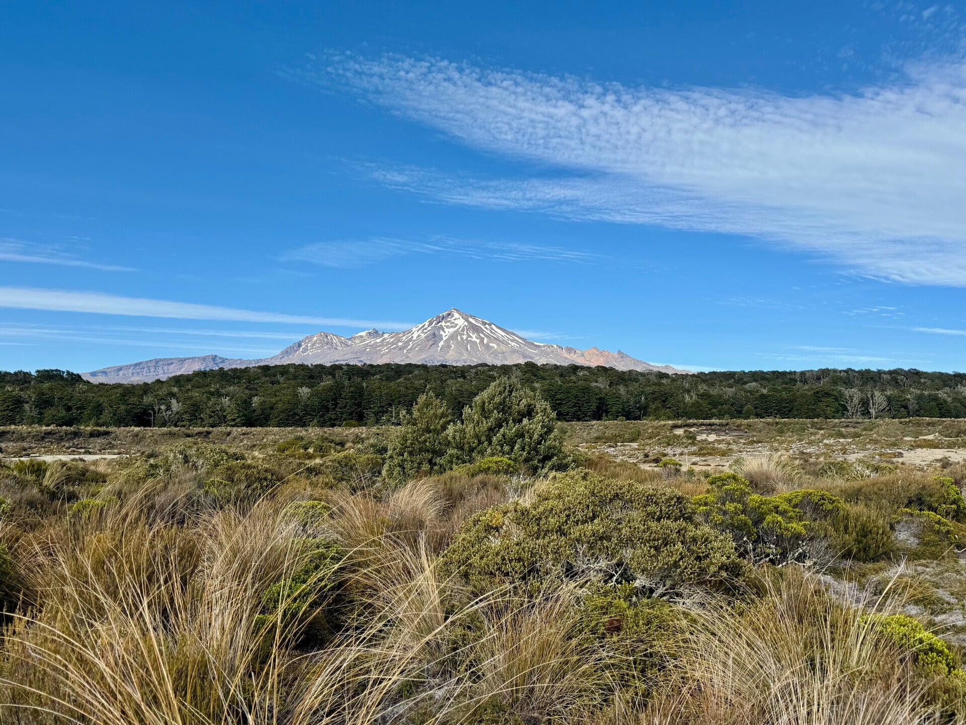
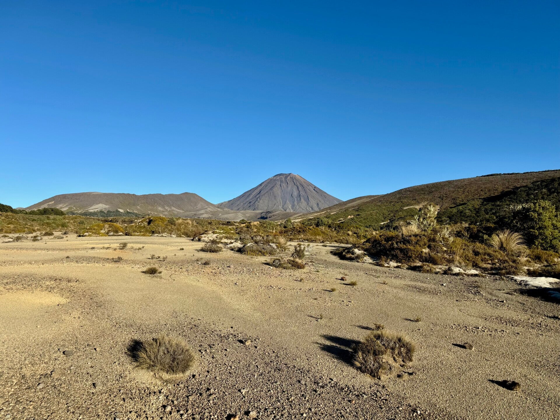
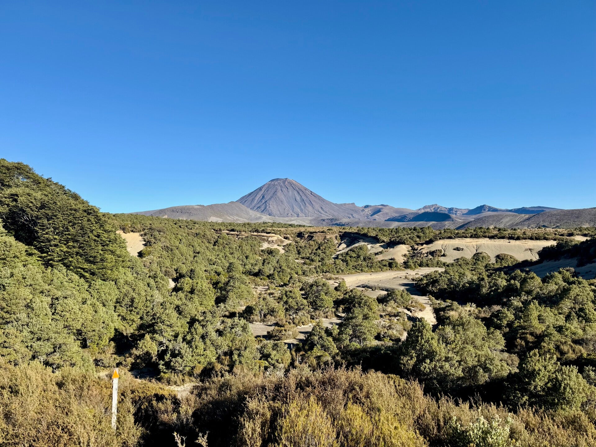
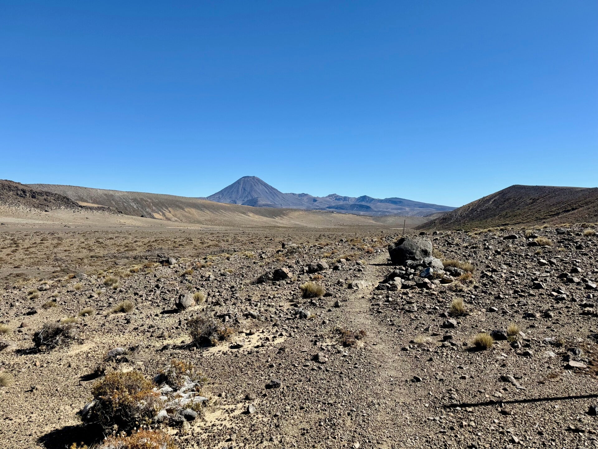
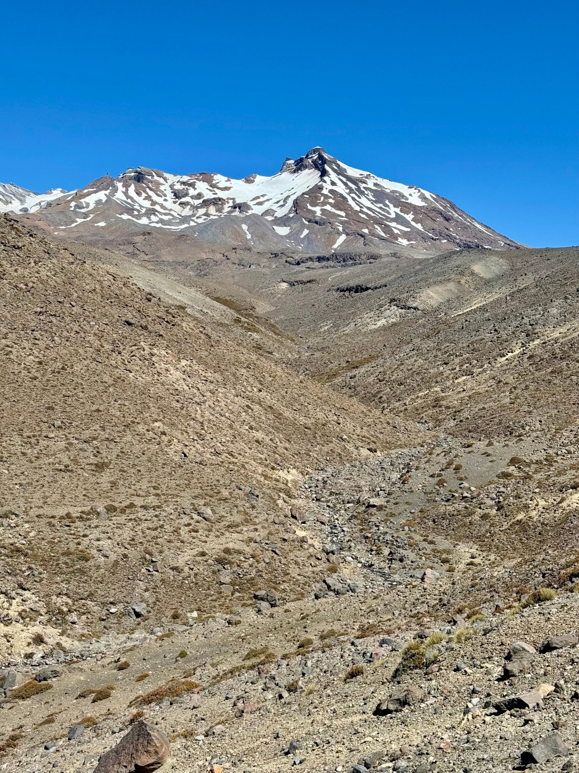
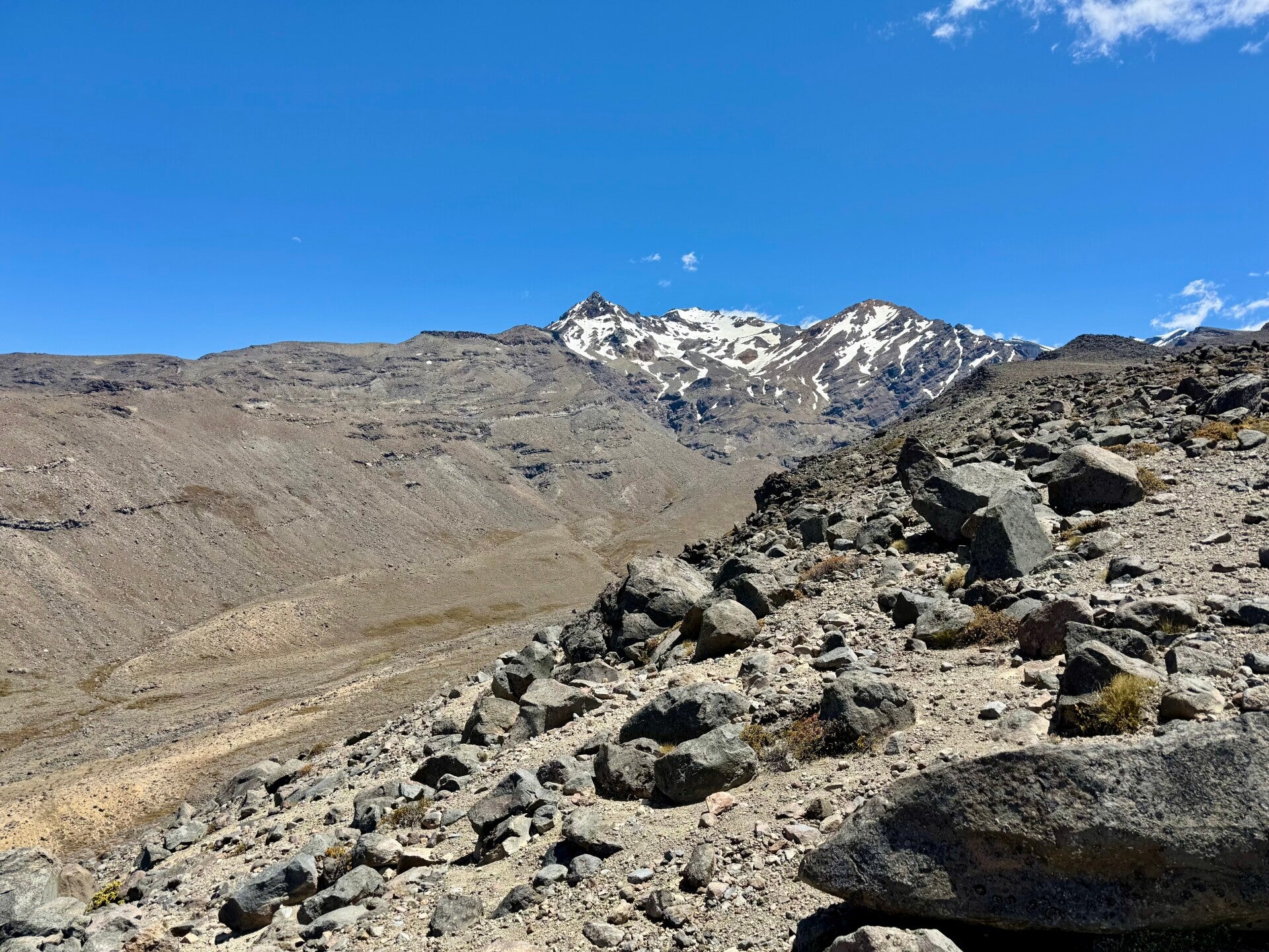
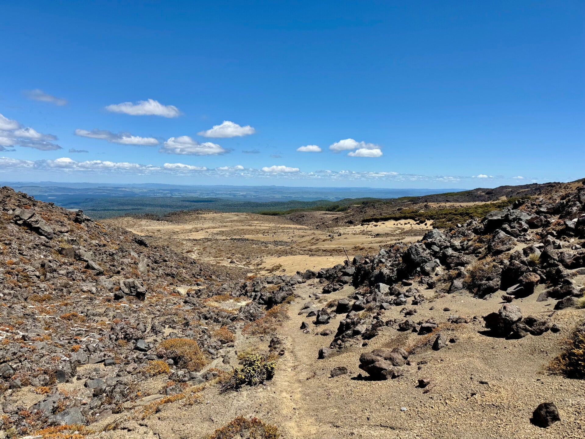
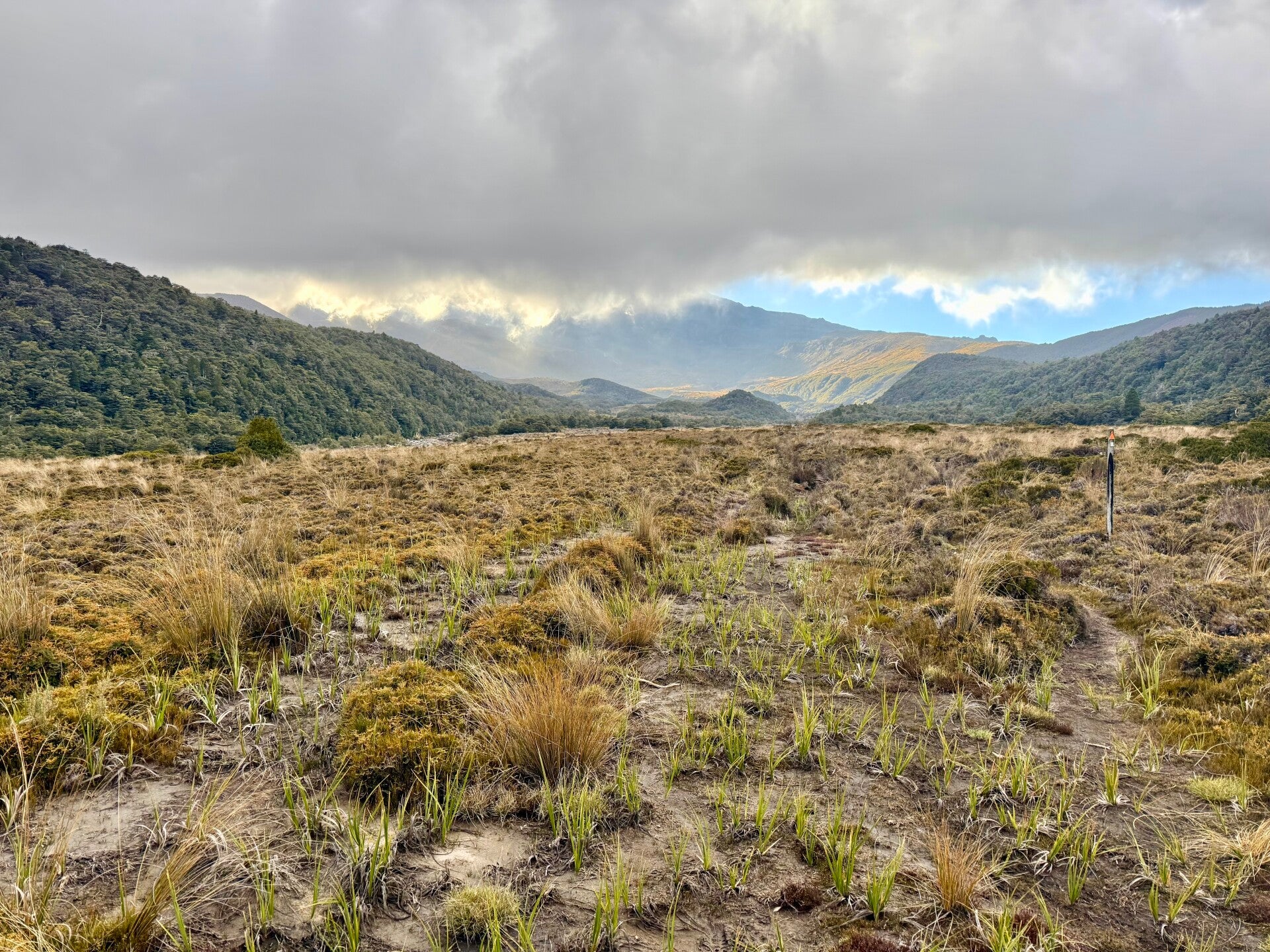
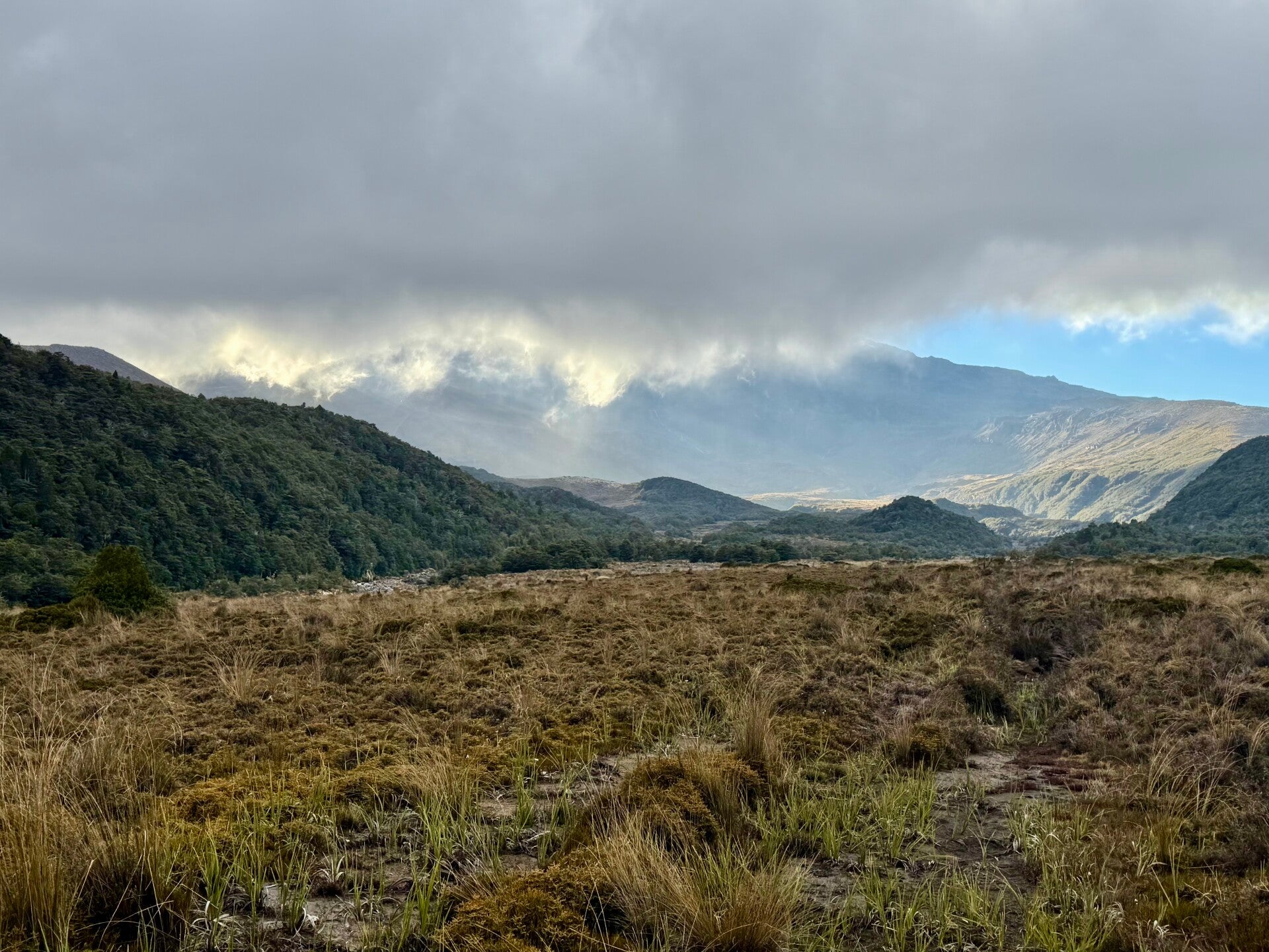
By circling the volcano clockwise, I'll be constantly on a slope, with my left foot as my main support—my left ankle is going to take a beating! On this side of the volcano, successive eruptions and flows of ash and mud have created a desert-like surface, partly sandy, partly rocky; this section is even called the Rangipo Desert. A little to my left, opposite me, is Mount Ruapehu. Turning around, I see Mount Ngauruhoe, and in the middle, this arid plain dotted with a few streams and sparse vegetation.
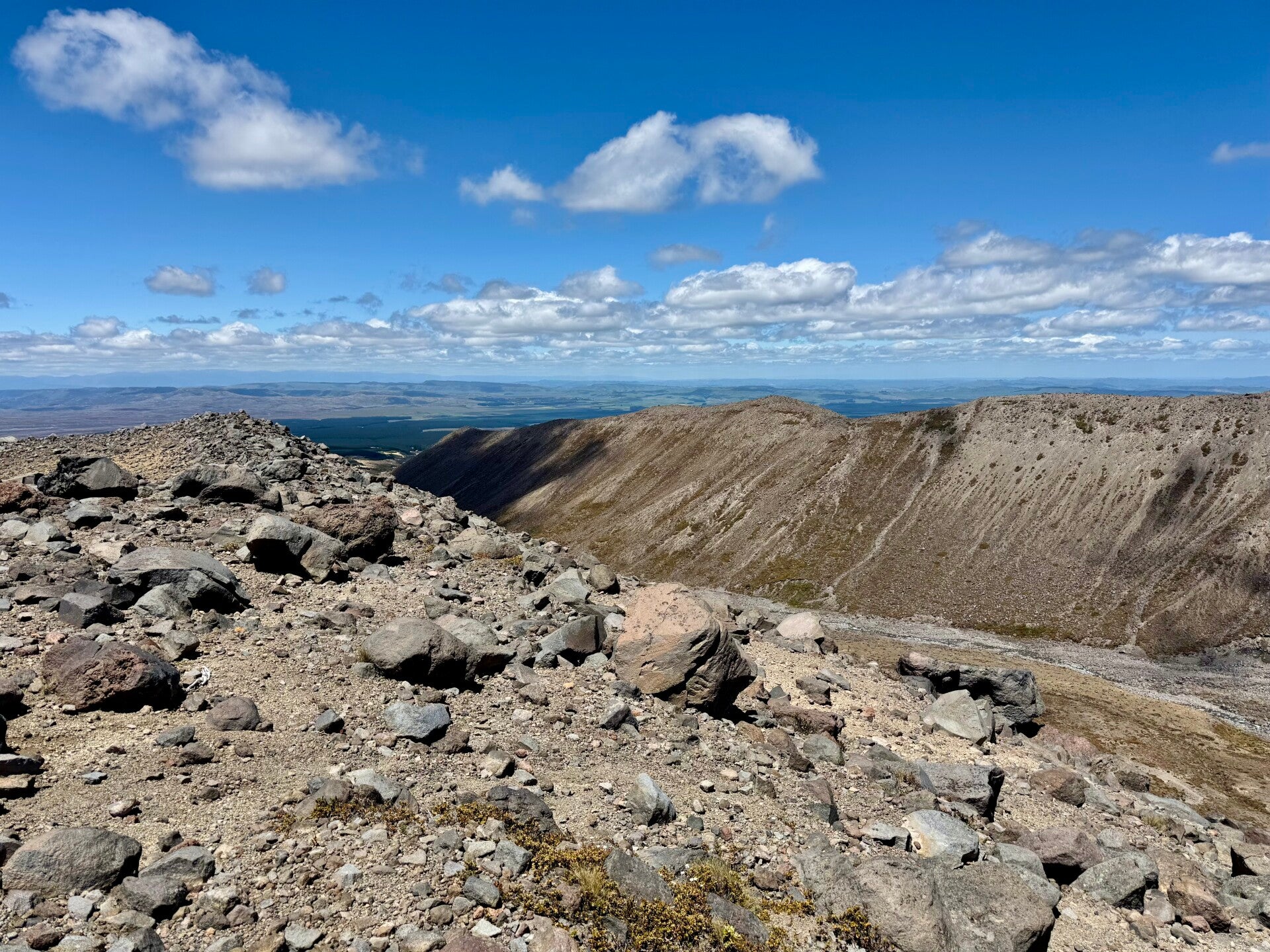
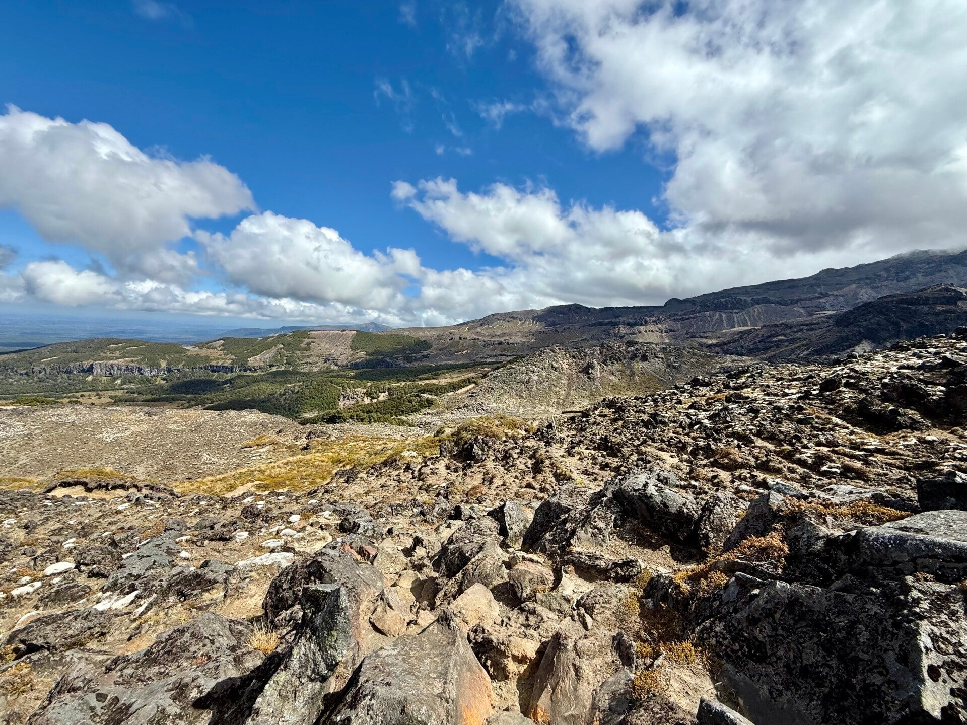
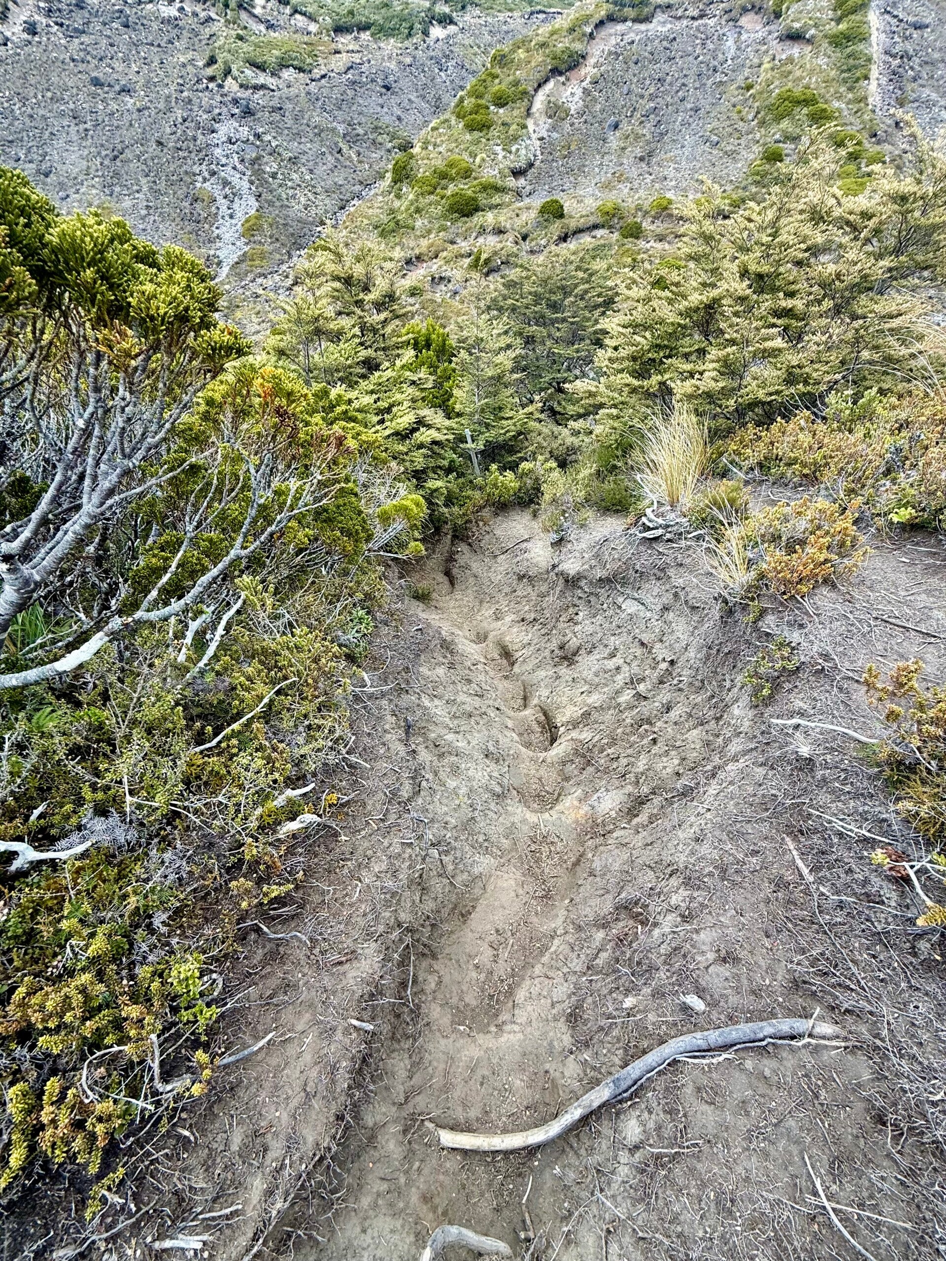
After a few hours, as I approach the mountain, the terrain becomes more hilly. To try and picture it, think back to your childhood when you ate mashed potatoes, creating a mound with a pool in the middle to put the gravy in. If you broke one of the sides, the gravy would spill out, creating a gully. Now imagine massive, successive eruptions over thousands of years, giant lava flows creating countless valleys and dales. Circling the volcano, I have to cross dozens of depressions one after another. These depressions start at the summits and widen as they reach the base, sometimes small, sometimes like enormous valleys. Furthermore, as the lava cools, it can sometimes create truly impassable walls, requiring long detours. I hope I've managed to give you a good overview of the obstacles that await me over the next two days, as well as the raw and monumental sights that will delight my eyes!
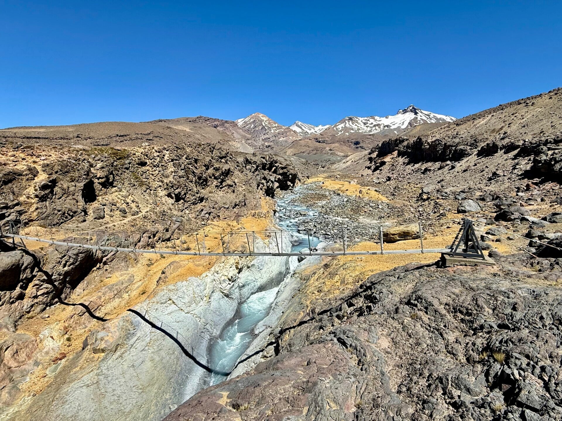
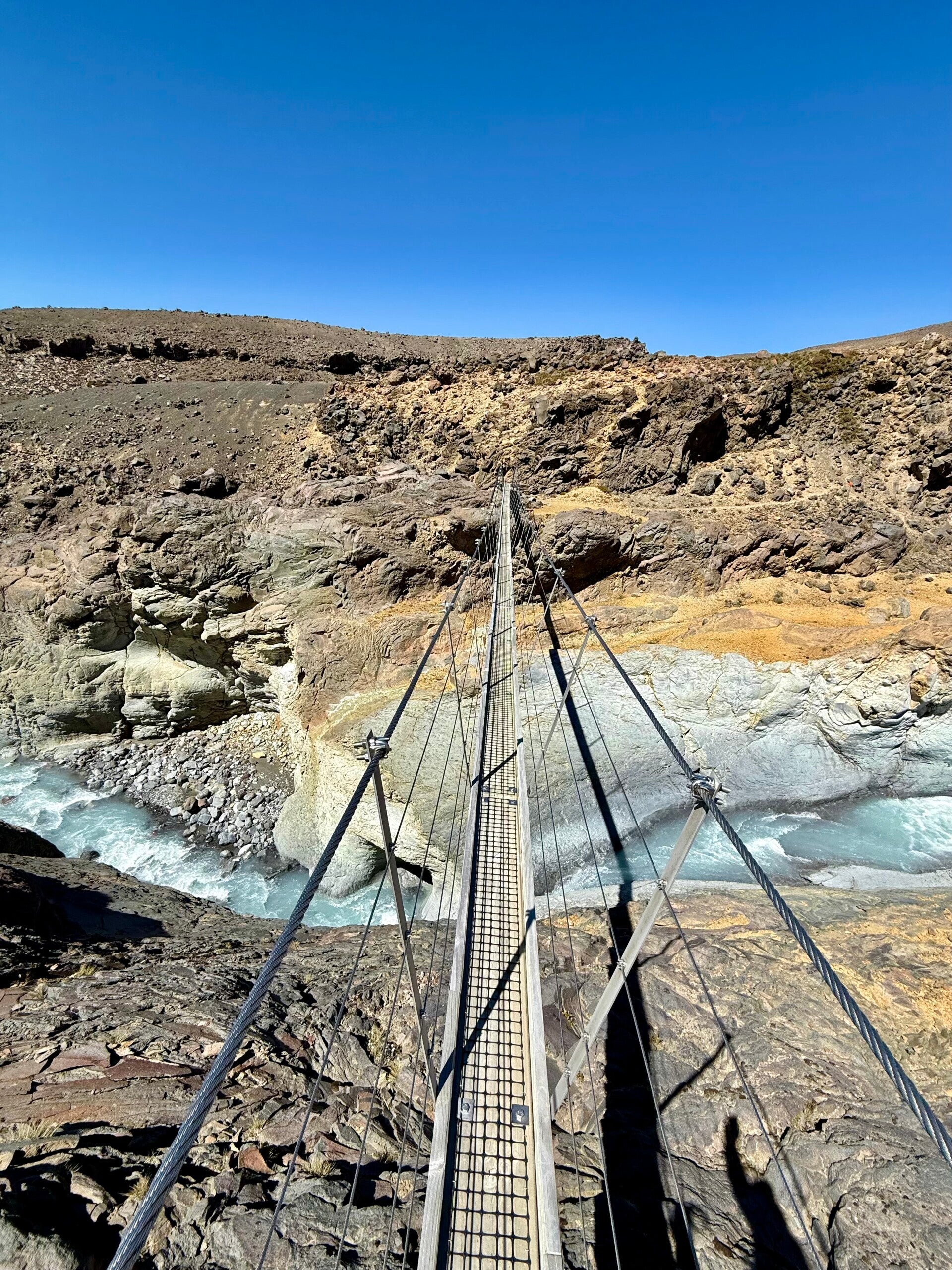
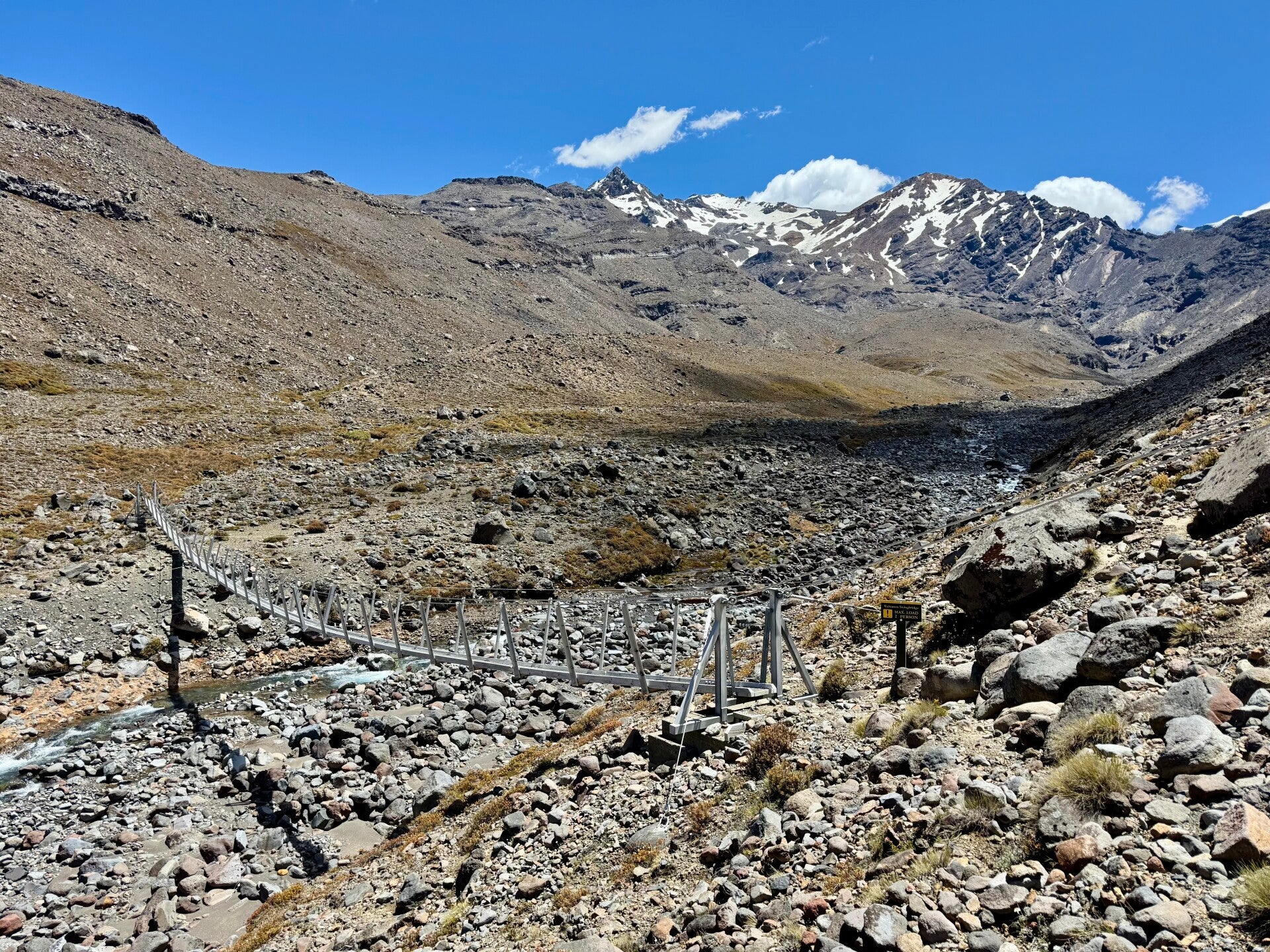
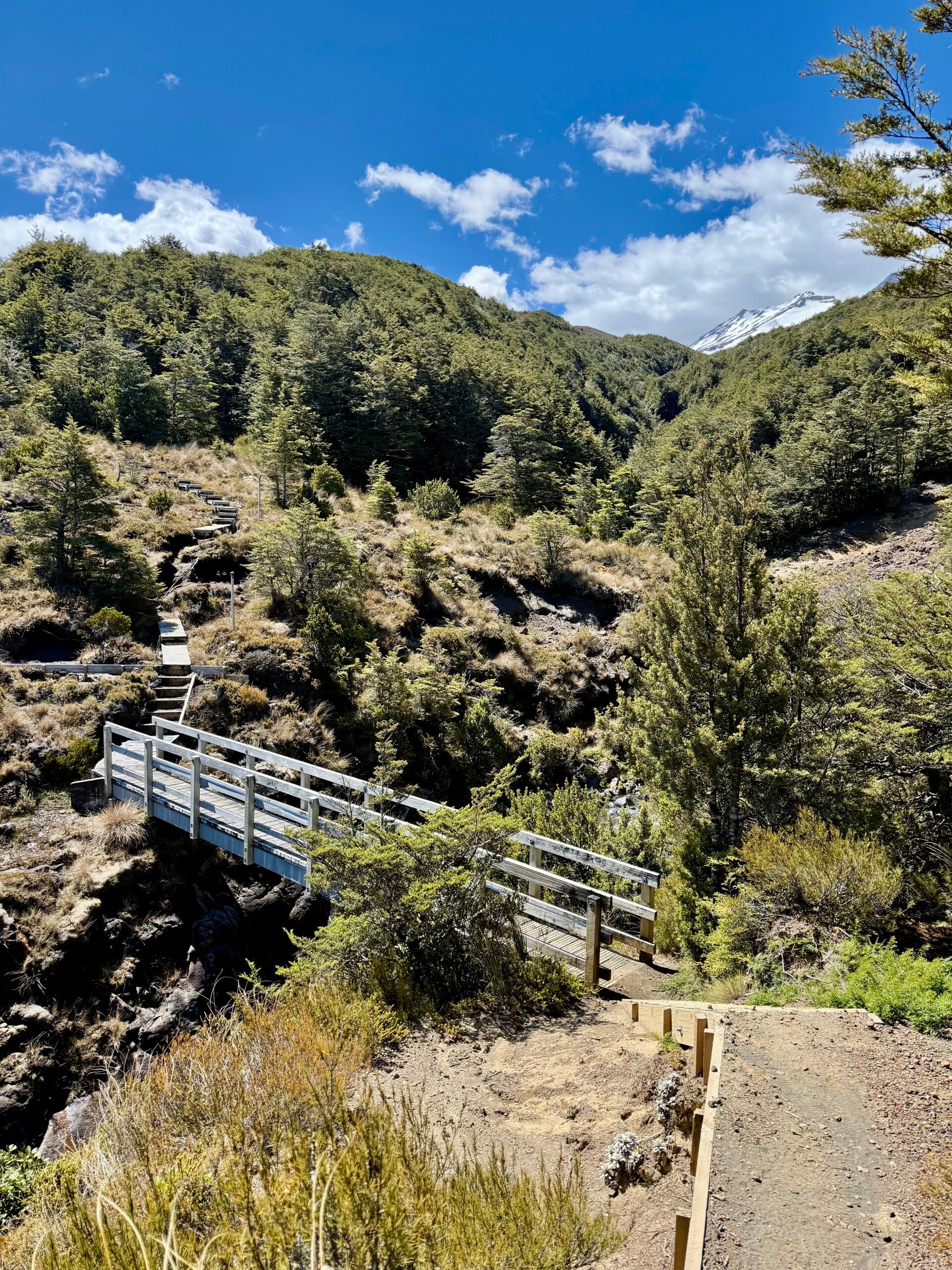
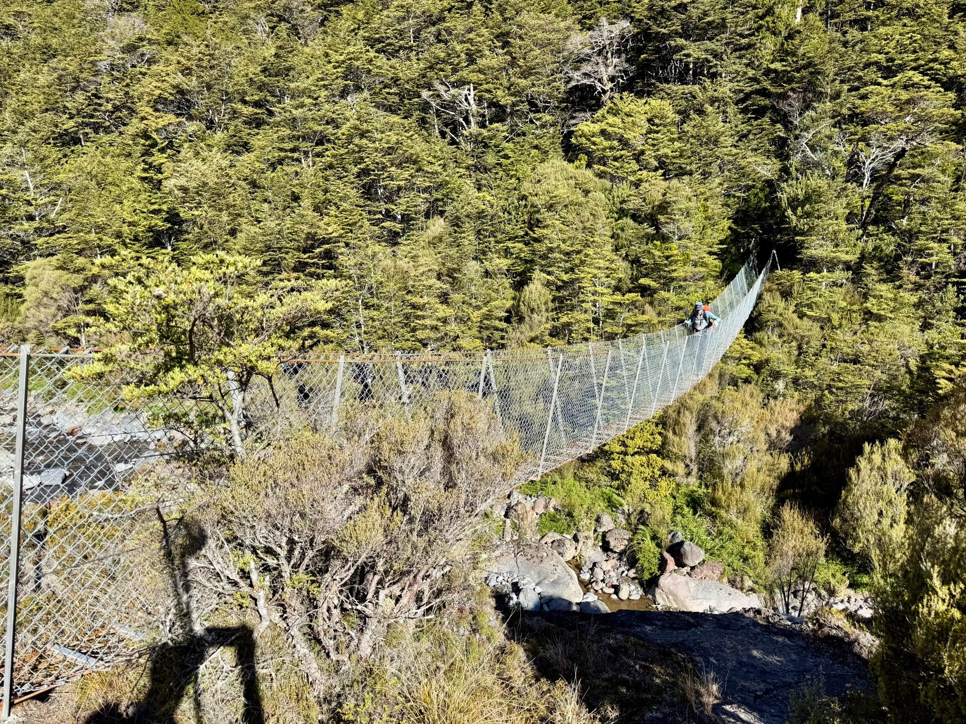
To facilitate crossing some of the depressions, rope bridges have sometimes been installed, giving me a few thrills when I feel them sway. Signs sometimes warn that it's dangerous to stop in certain areas due to the possibility of lahars: these are immense flows of water, ash, and mud caused by an unstable accumulation of these materials, triggered by heavy rains, snowmelt, or volcanic activity.
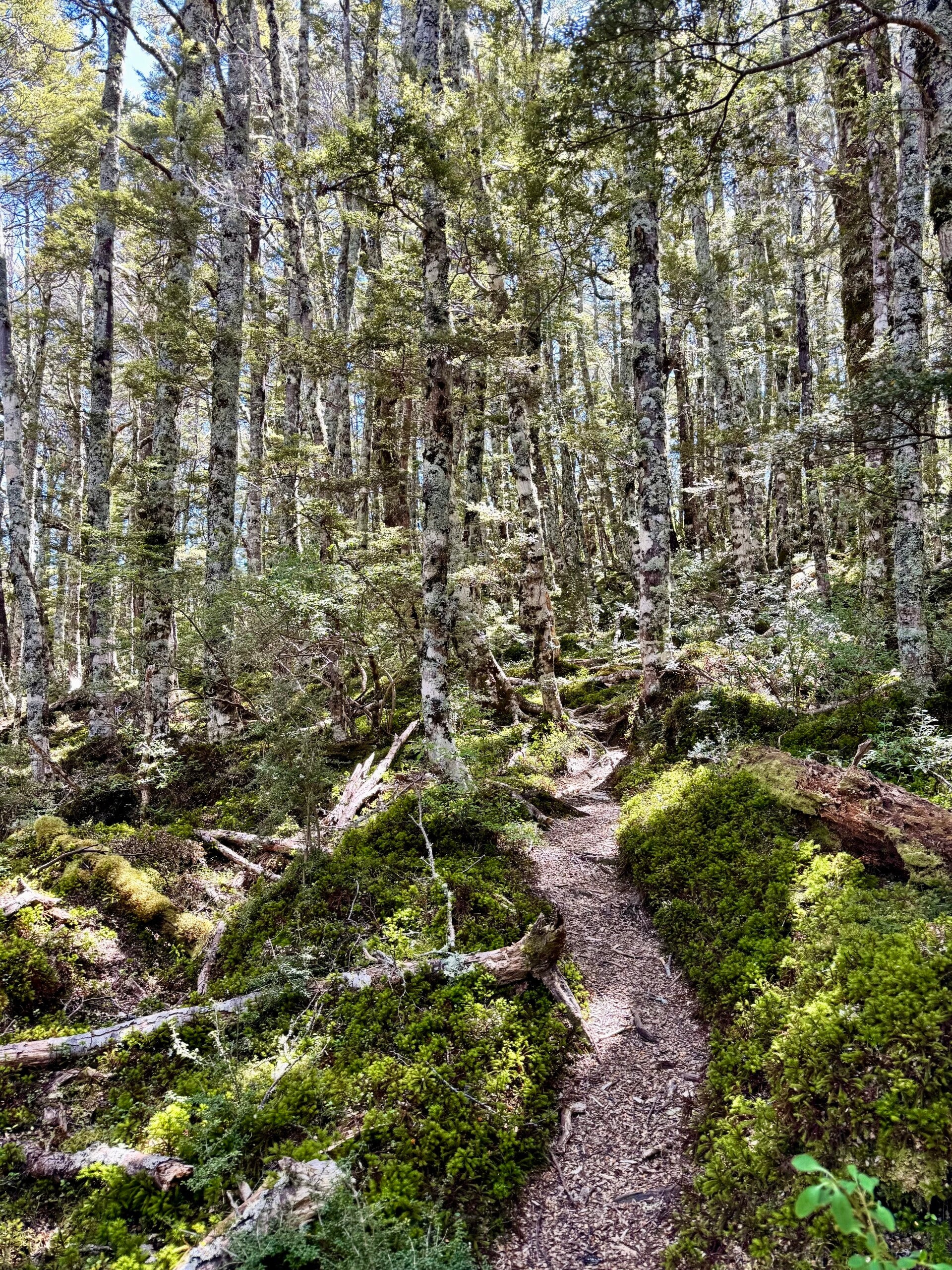
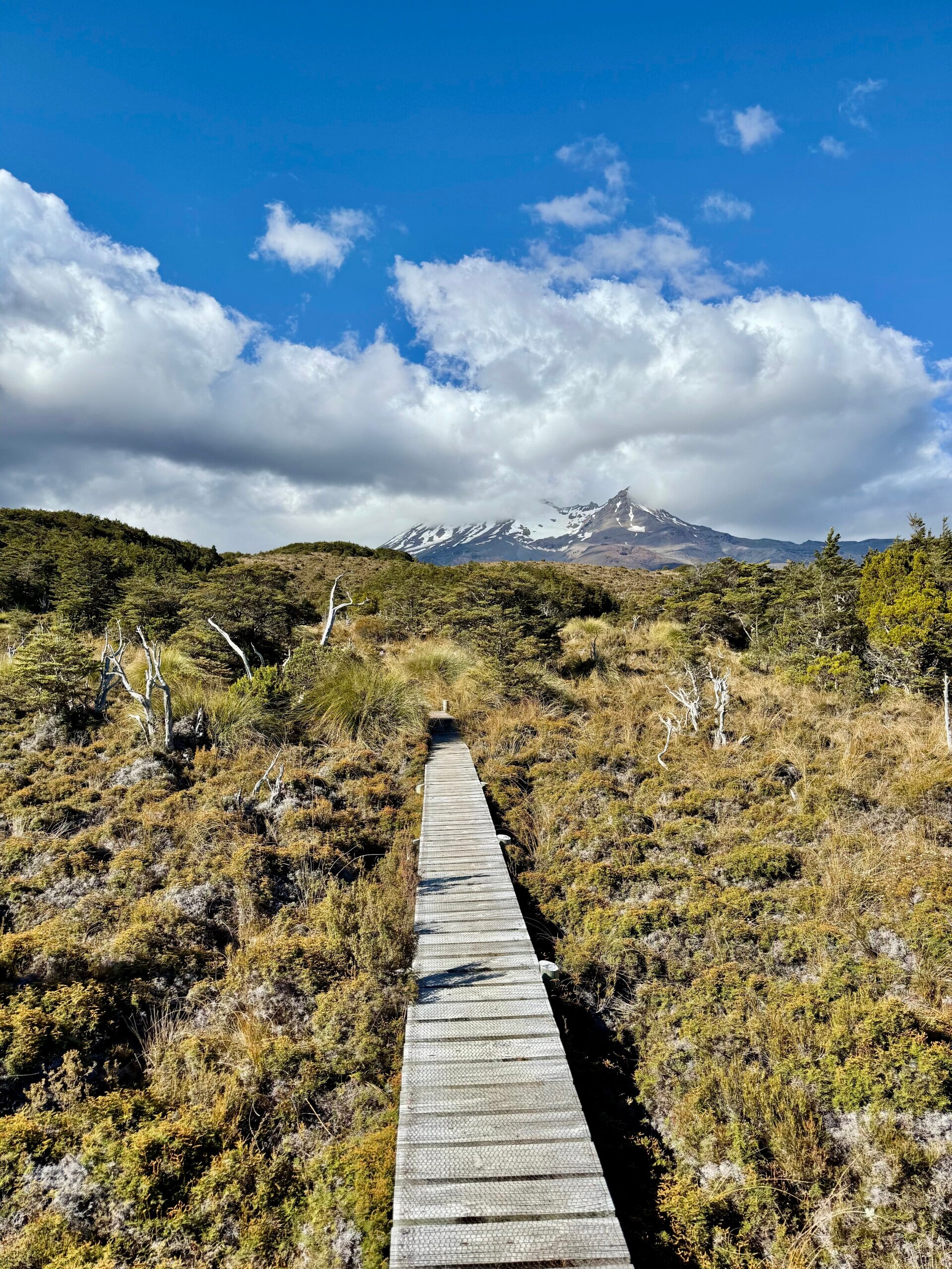
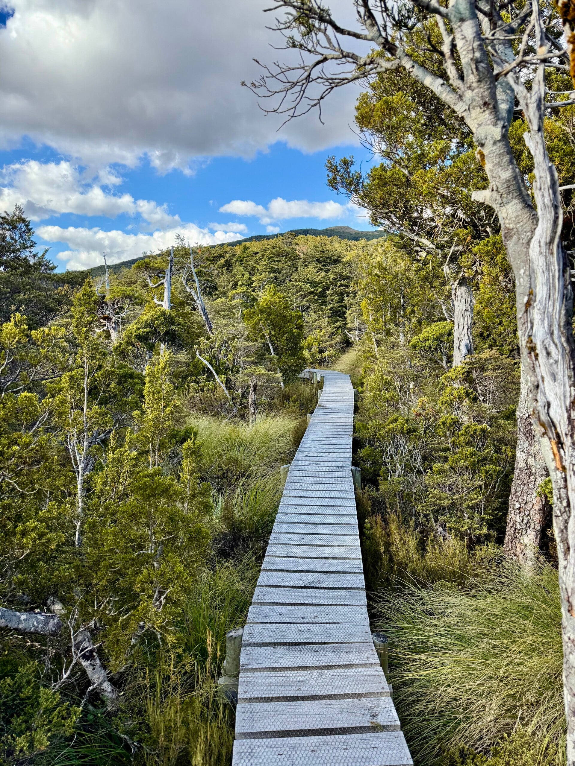
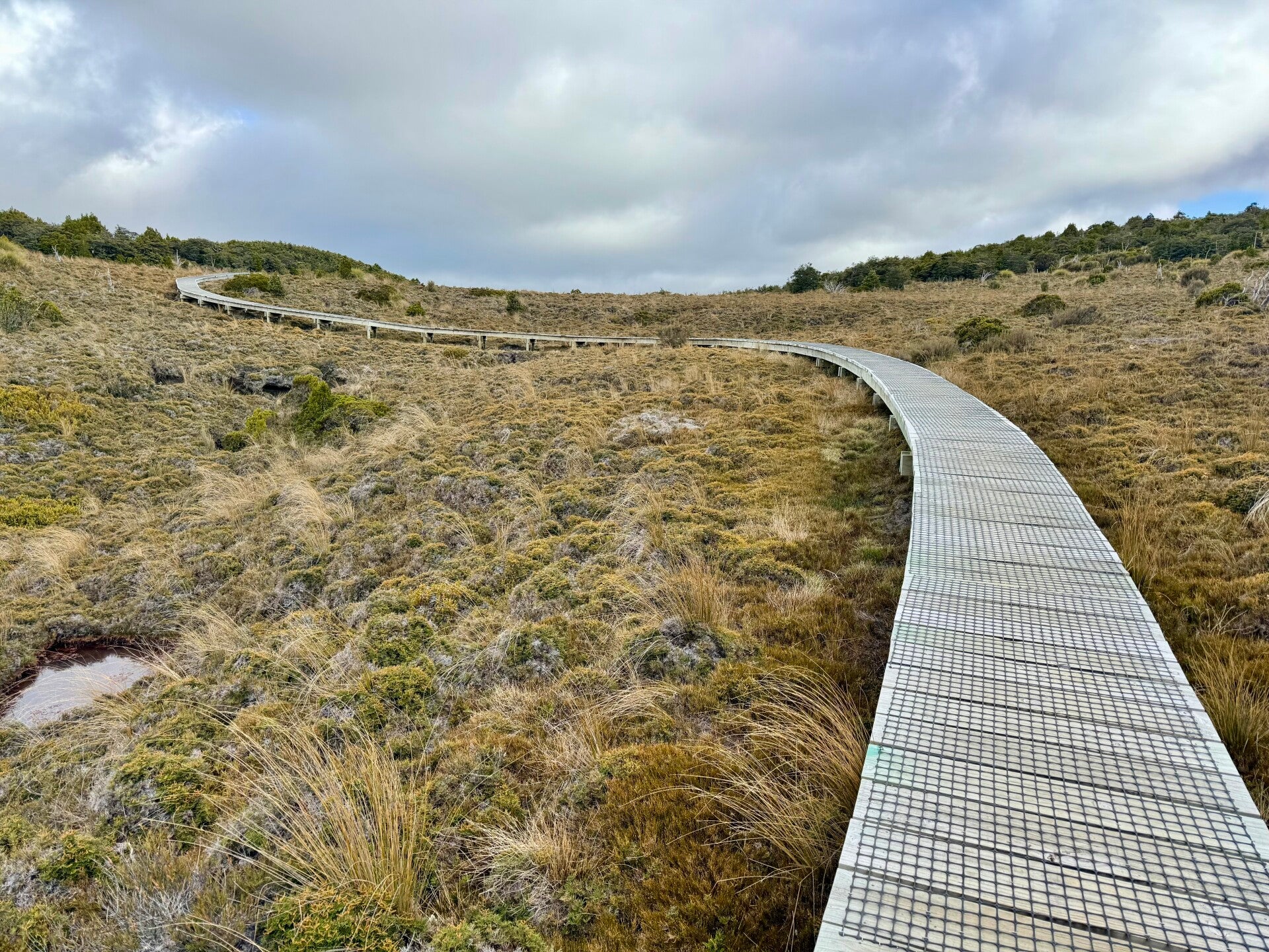
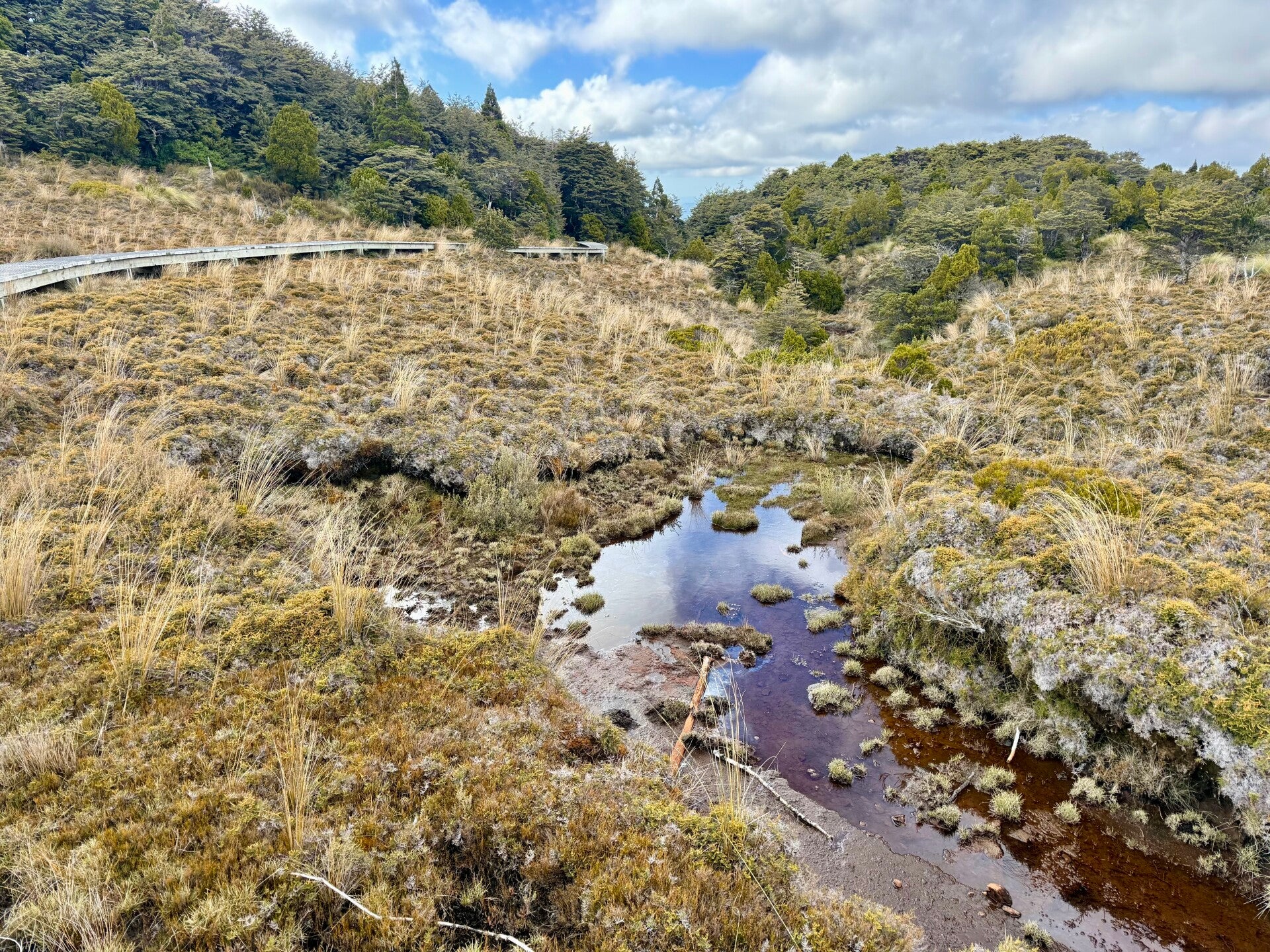
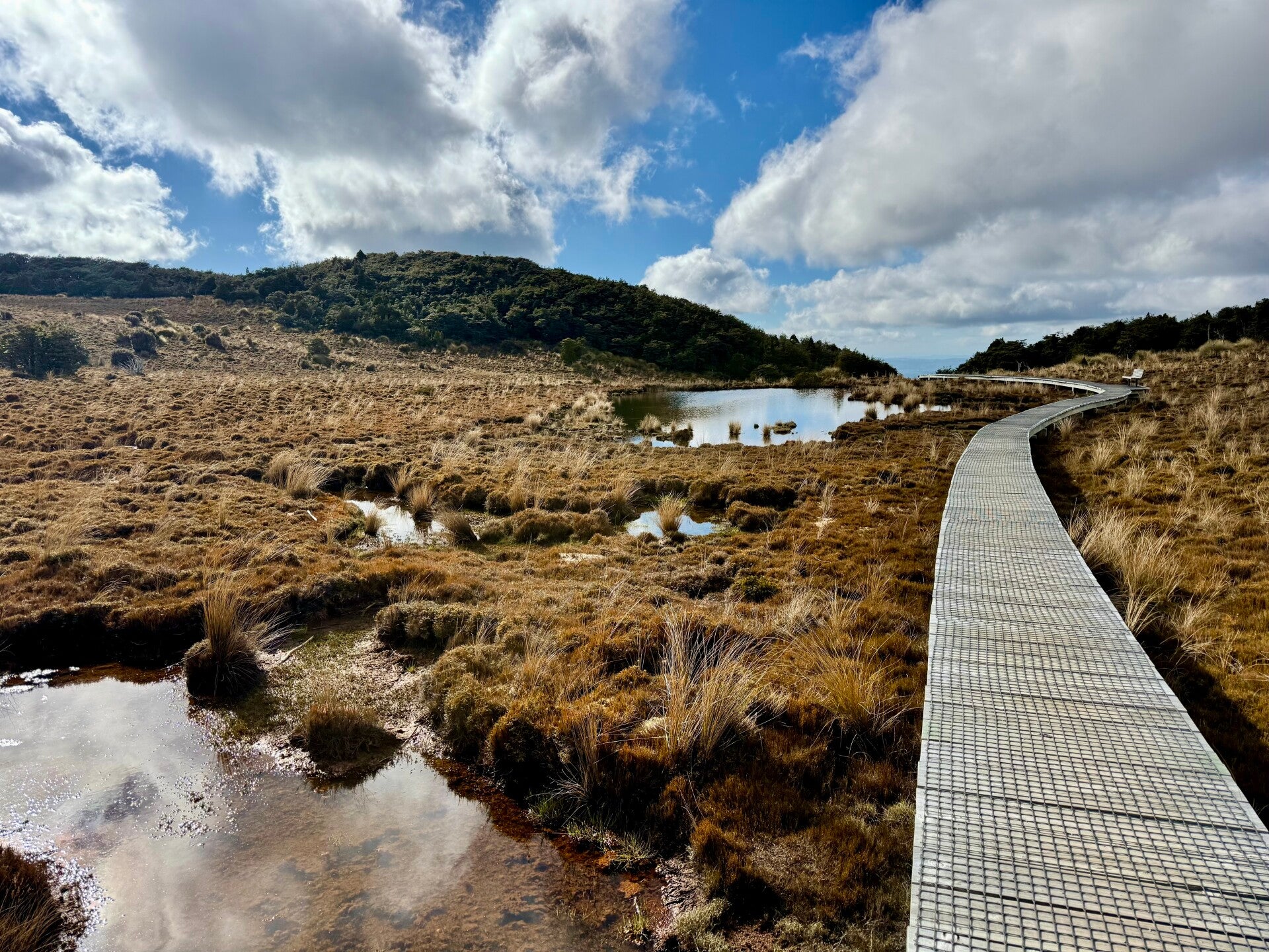
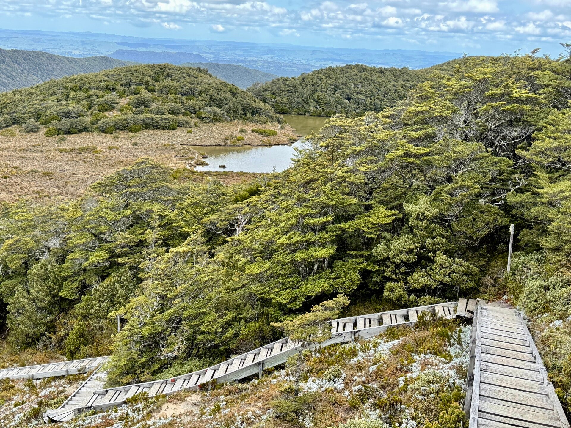
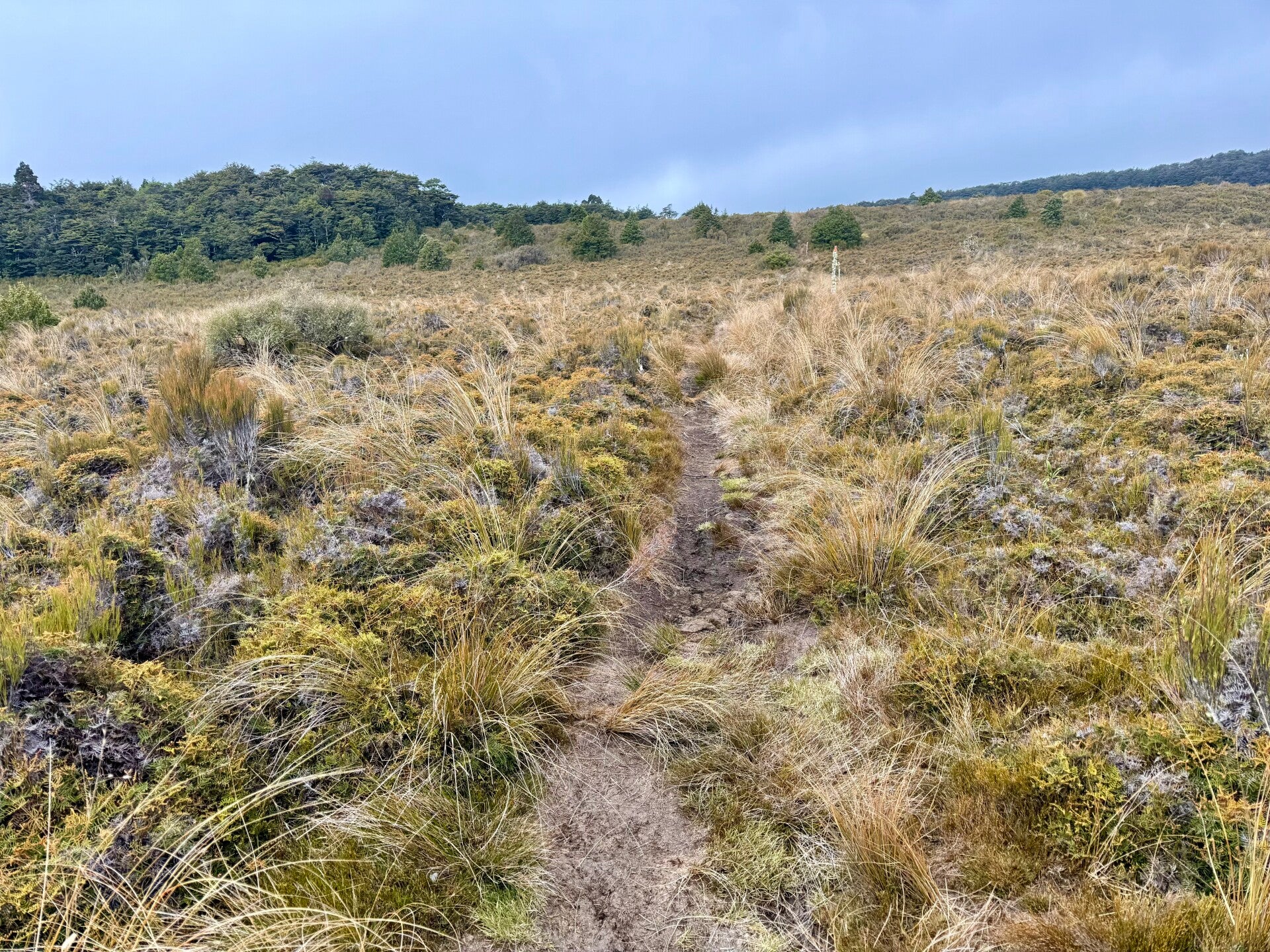
I take my break at the Rangipo hut, located east of the main volcano. I still have a long way to go before reaching the south face where the hut for the night stands. In the afternoon, I cross one valley after another before entering a more wooded and marshy area. To preserve the flora and prevent trampling of the wetlands, hundreds of wooden boardwalks have been continuously installed, making progress easier.
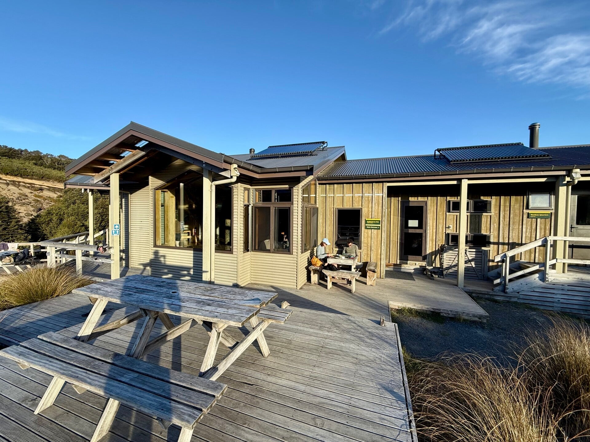
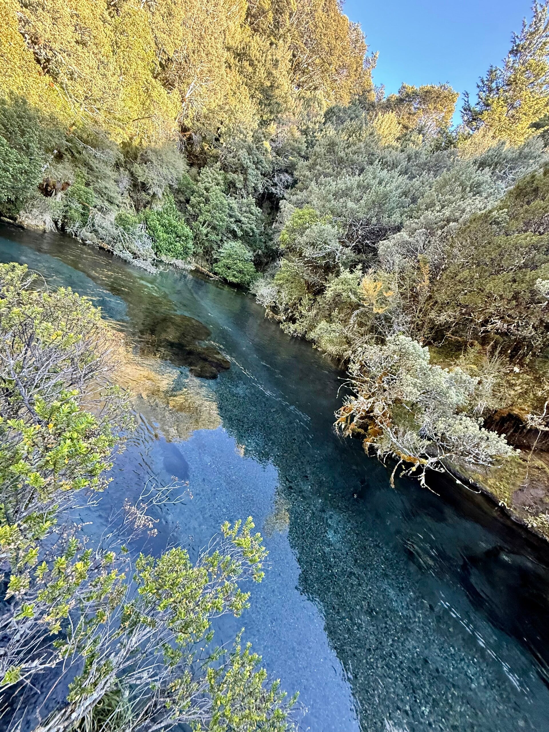
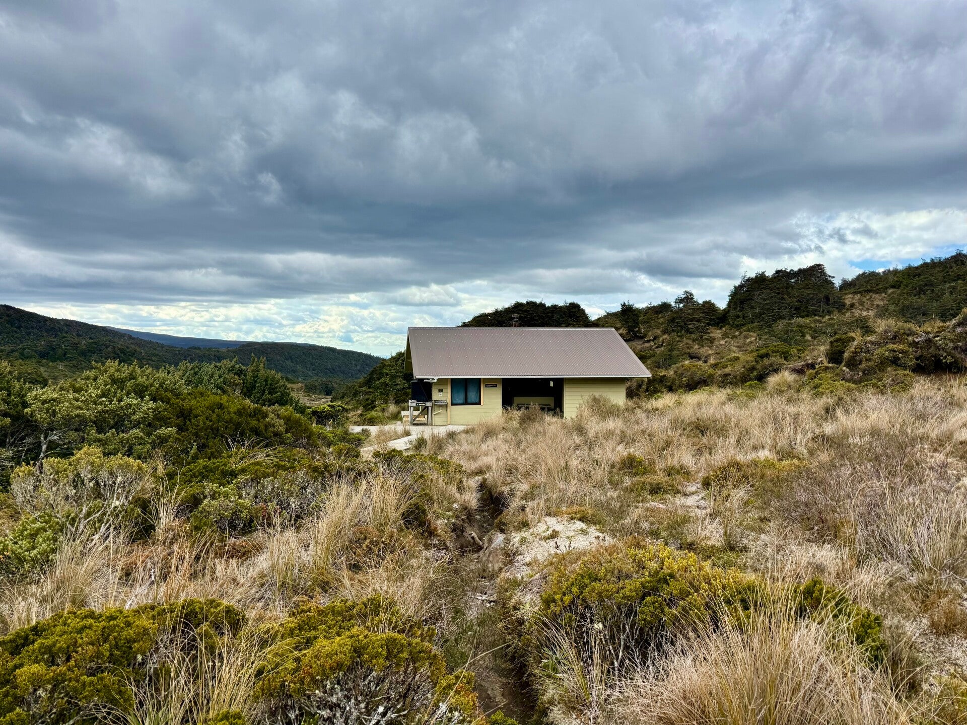
Arriving at the small Mangaehuehu hut, I have a sort of uneasy feeling. A family with children is already settled in and is giving me strange looks. Furthermore, I saw on the reservation website that the hut will be completely full tonight. Two hikers I'd met the previous night told me they are continuing their walk for another 6 kilometers to a cabin off the main road, making it less frequented. I decide to join them, along with another Frenchman. We still have a 2.5-hour hike ahead of us, the terrain making for slow progress. Reaching the edge of the cabin after a 1300-meter climb, I am tired but satisfied; it will just be the four of us that night. A small stream flows nearby, so I take the opportunity to swim before the sun set behind the hill.
A tough but beautiful day!
🗓️ December 14, 2025
🏁 Kilometers : 1211
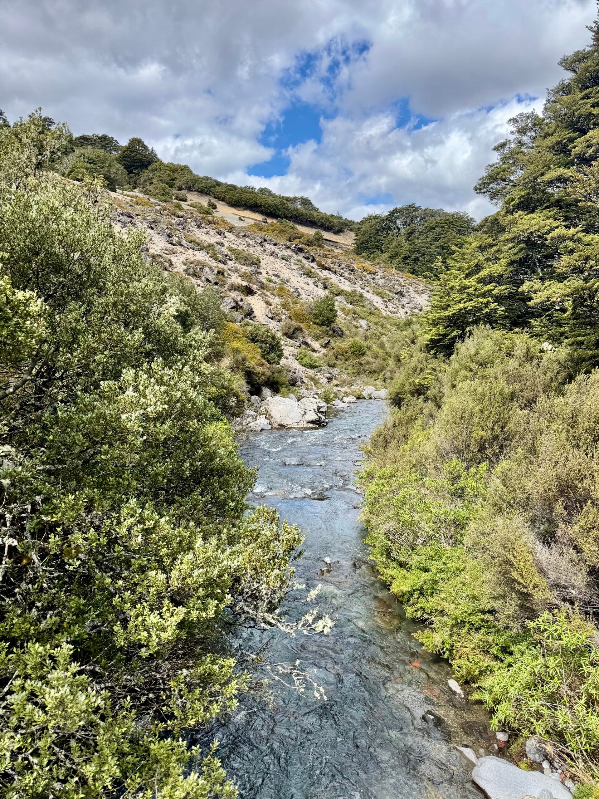
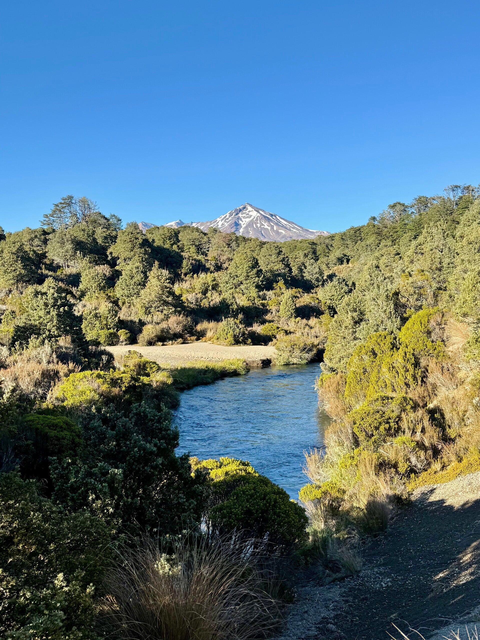
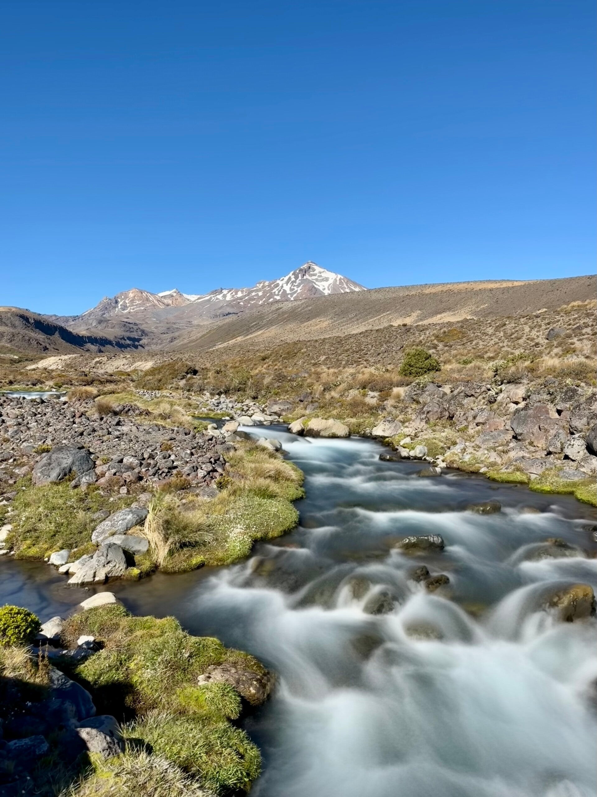
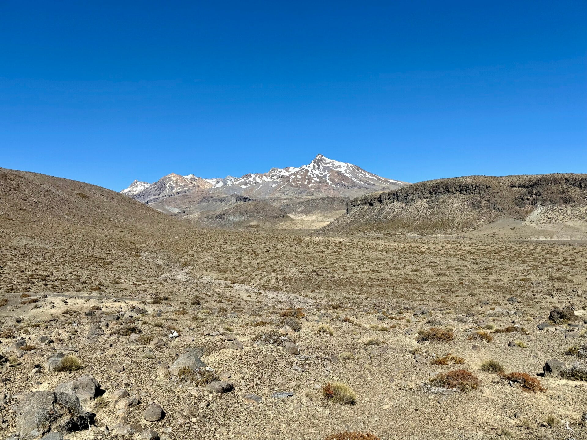
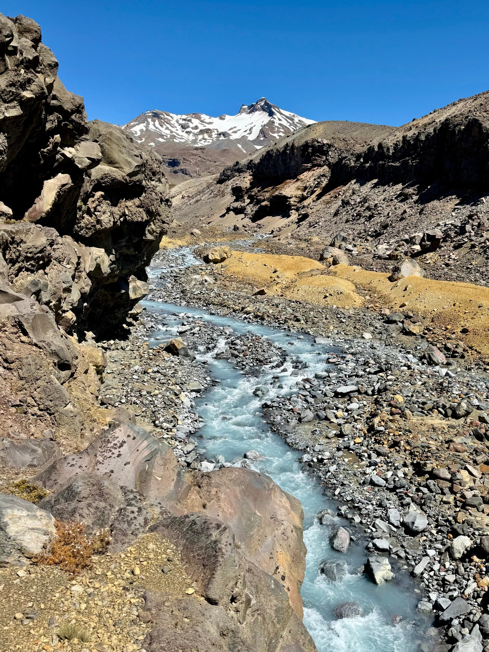
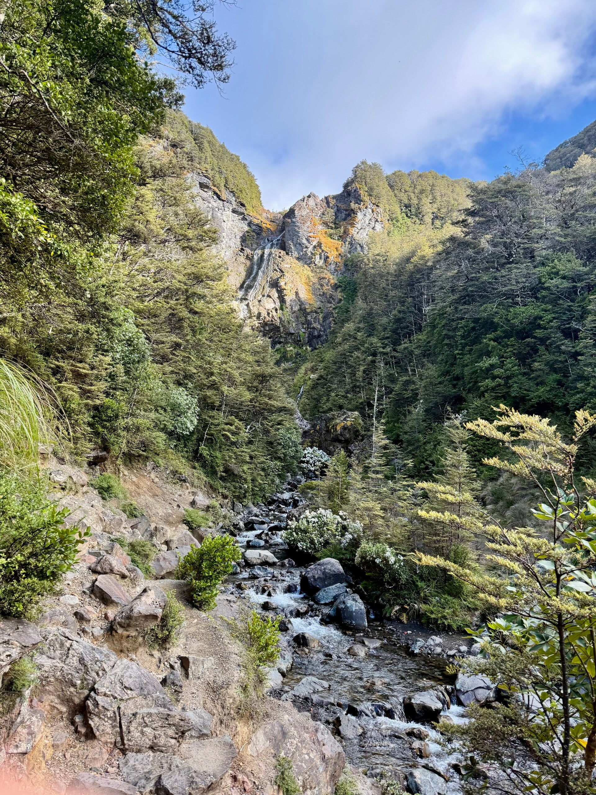
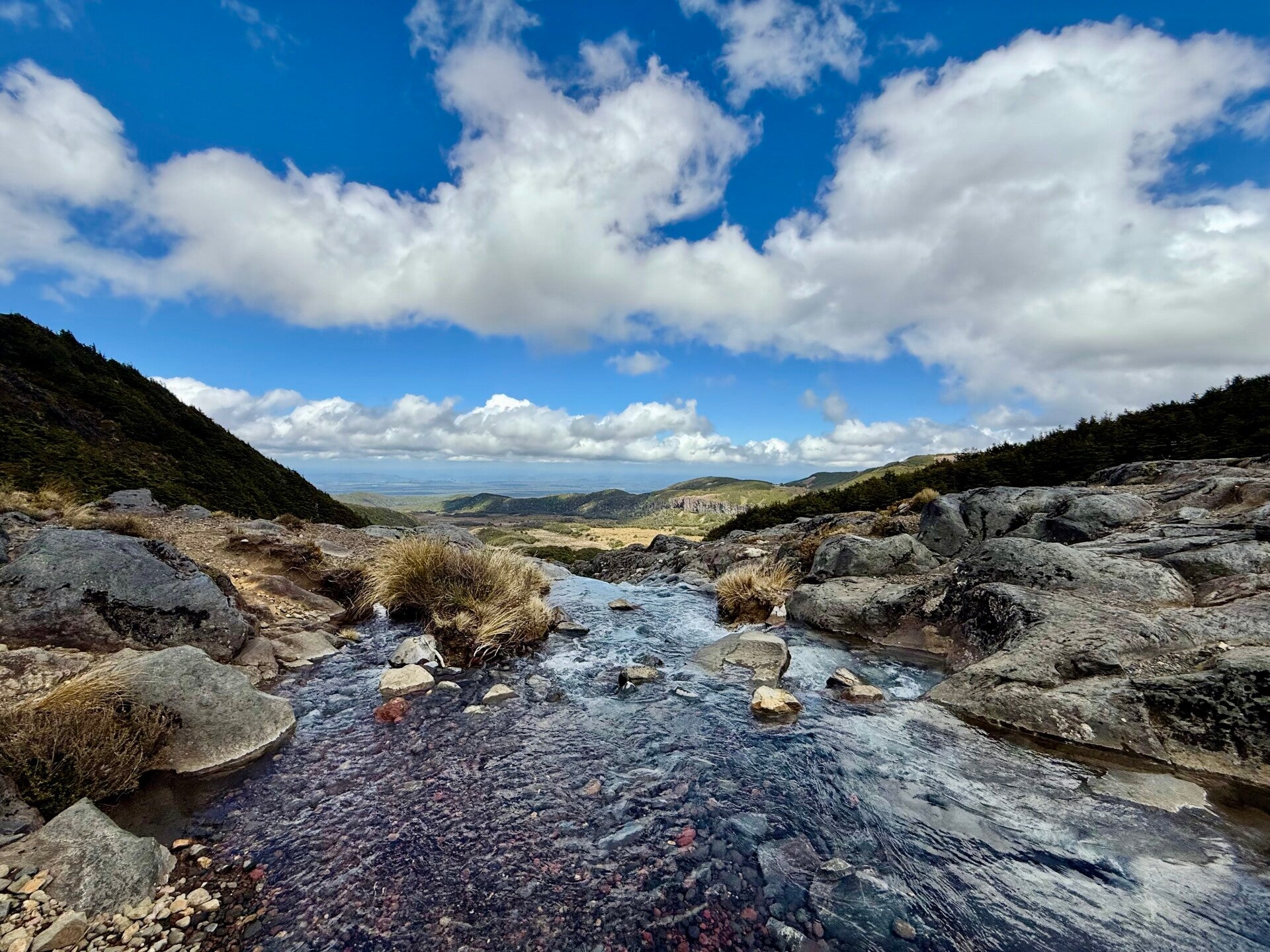
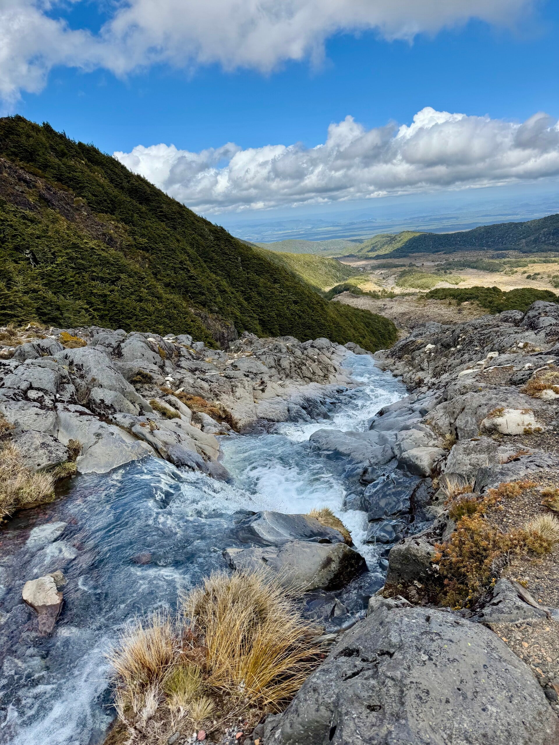
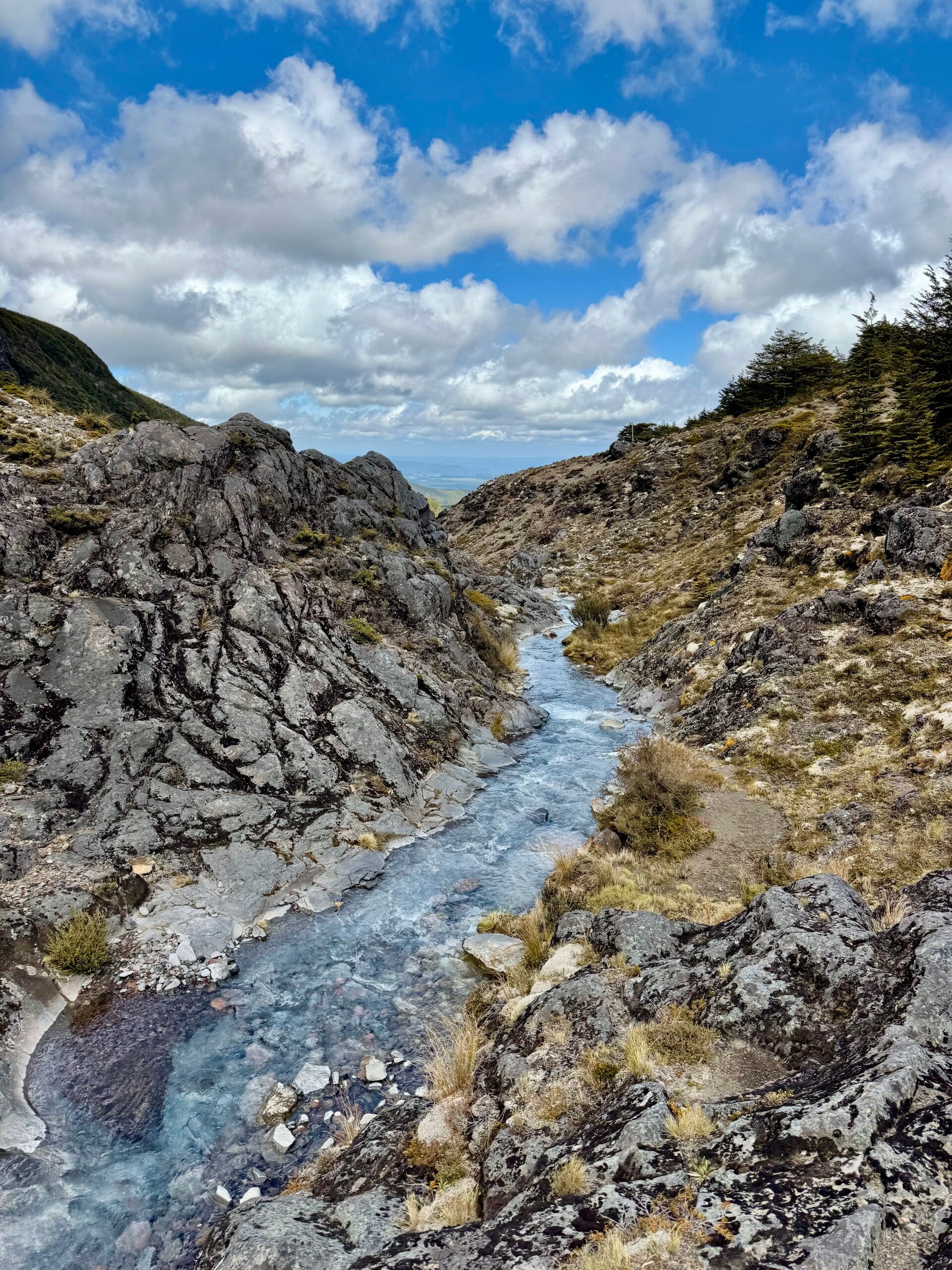
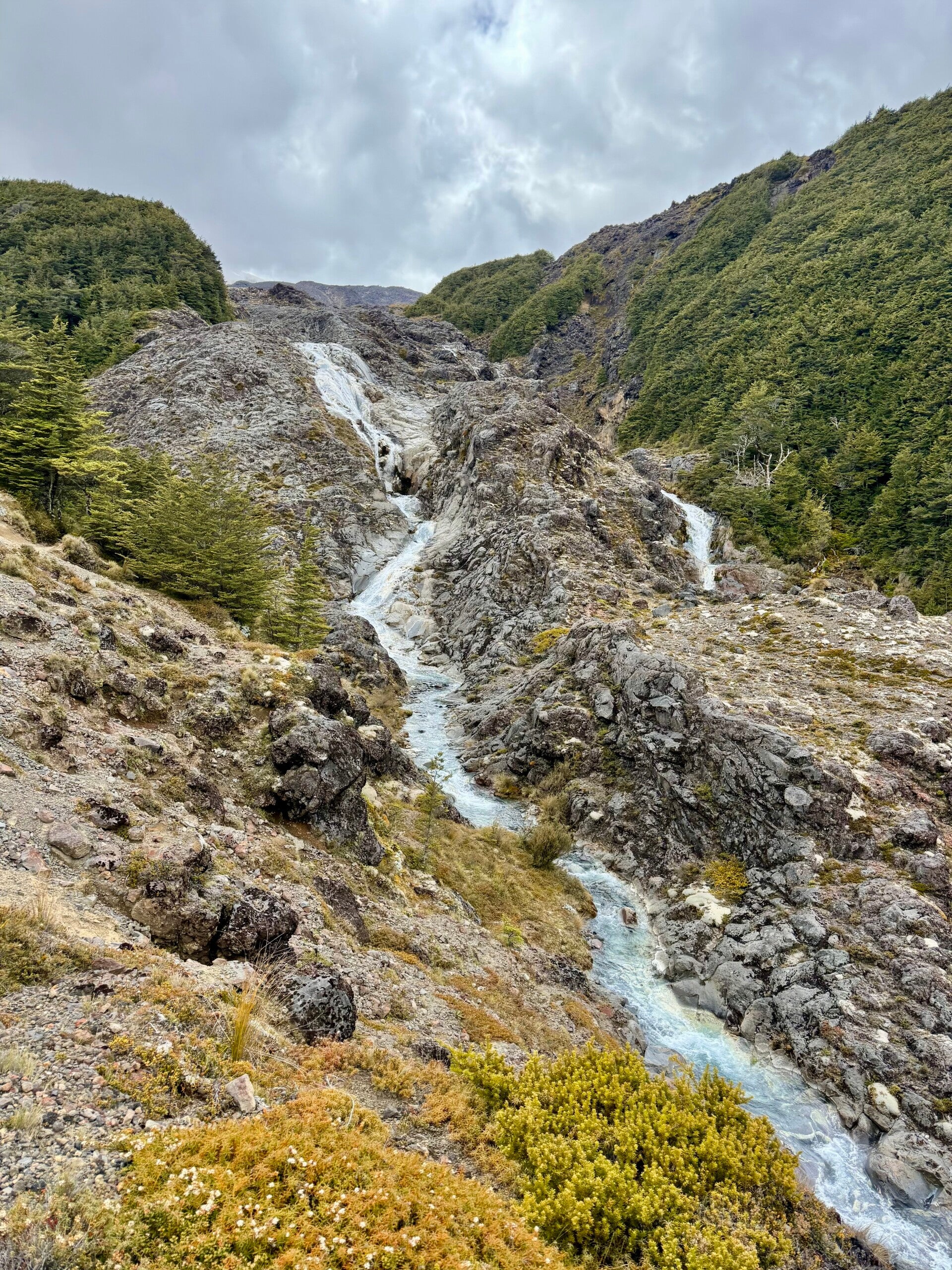
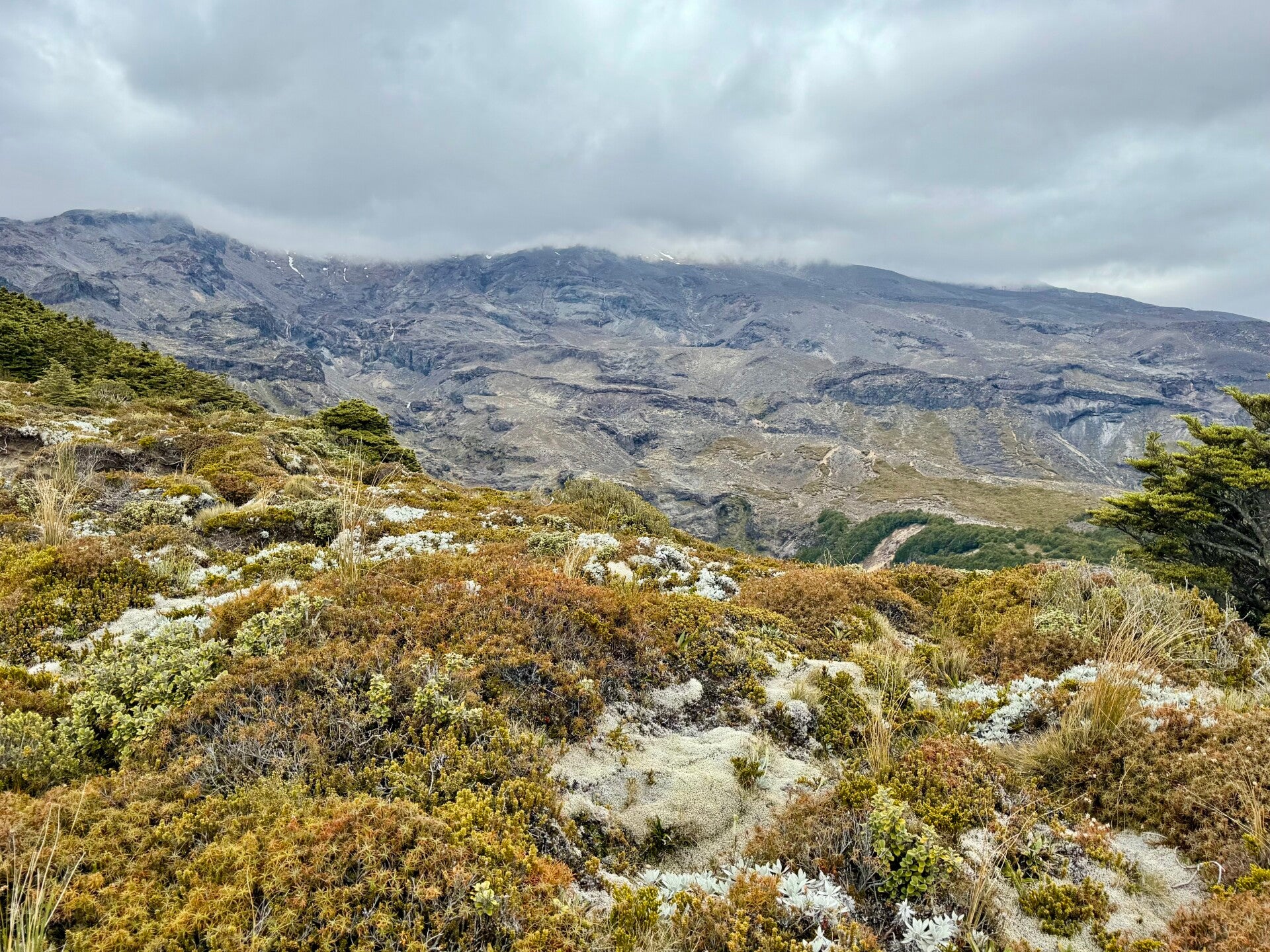
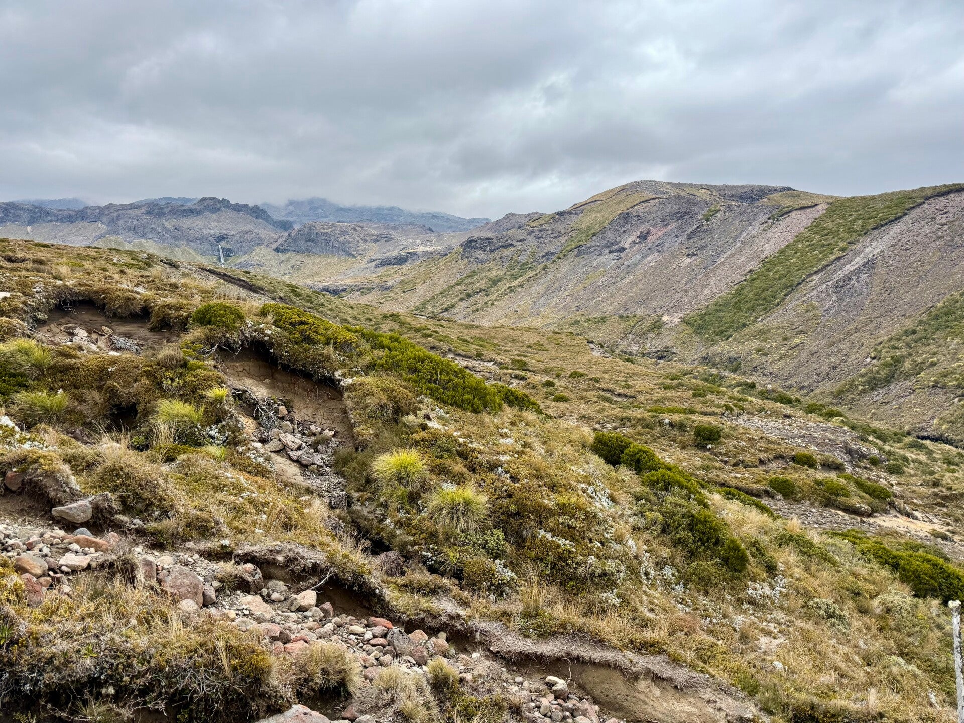
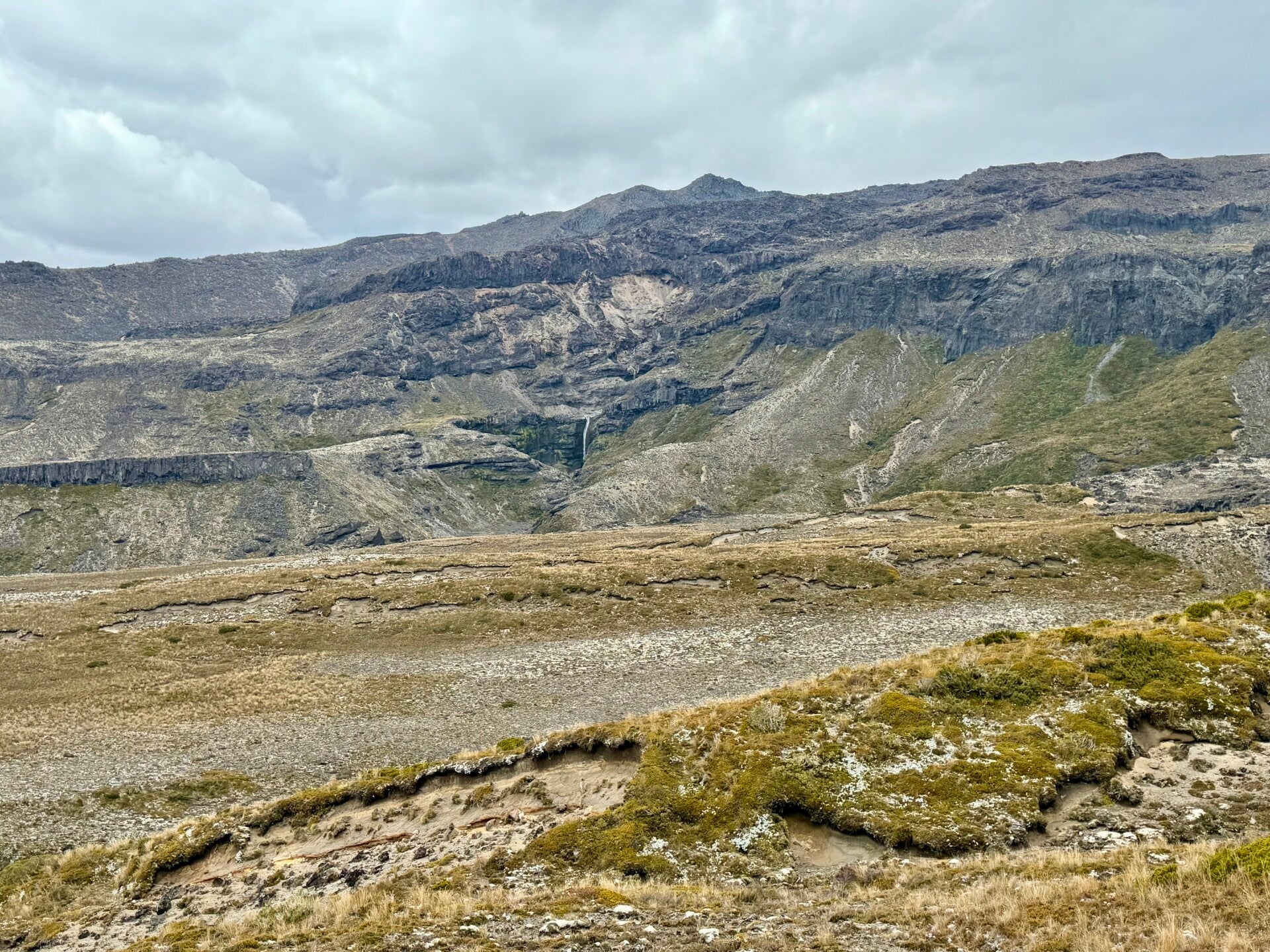
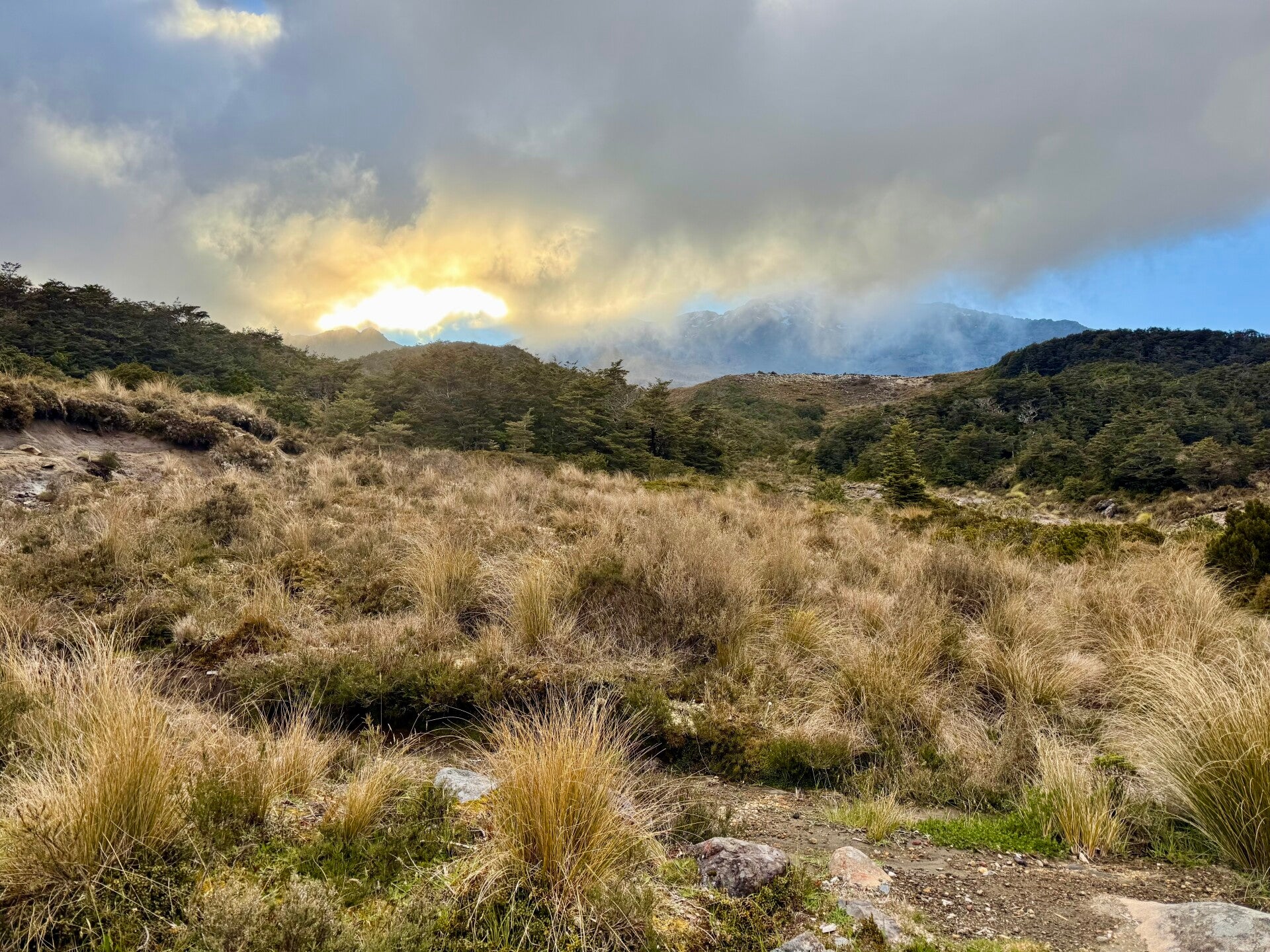
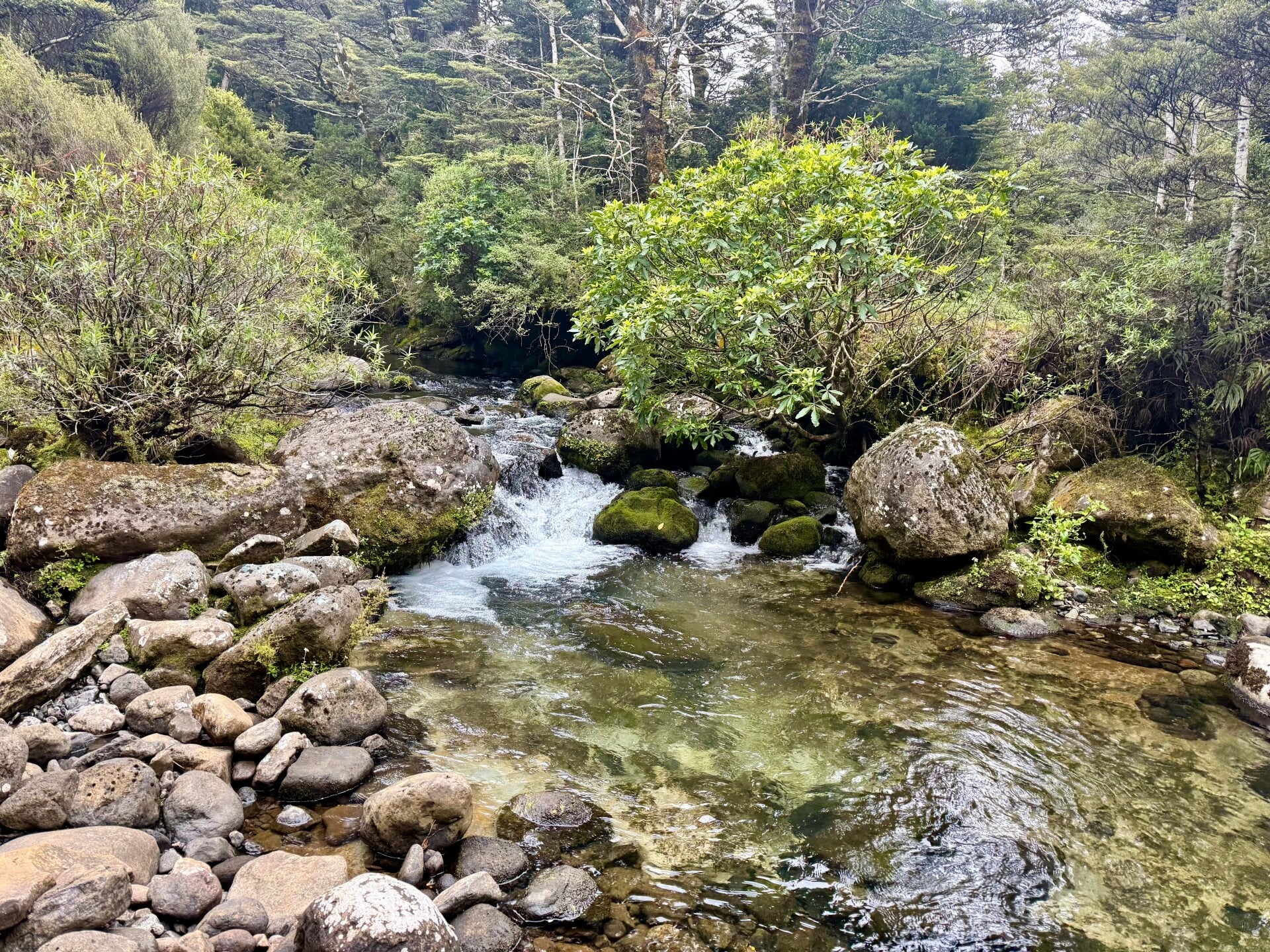
The night was calm, and I set off refreshed on this last day of hiking around the volcano. The path first winds through a wooded area, then a marshy zone, which is once again superbly maintained. I then reach a road that I must follow for 4 kilometers, climbing steeply; this road leads to a small winter sports resort that is closed during the summer. The trail leaves the road and plunges into a huge valley. From the top of the ridge, I can see below the hut where I will have lunch and the lakes perched on the opposite ridge, beside which I will pass this afternoon. To descend, I must walk on a huge flow of cooled lava, balancing precariously given the steep slopes, all nestled between two rivers flowing on either side. The task is tricky, but the views are magnificent. The water cascading over the rocks creates small, bluish pools that would be tempting to swim in if it weren't so cold; the fairly clear sky at dawn gave way during the morning to an opaque layer of clouds and a cold wind.
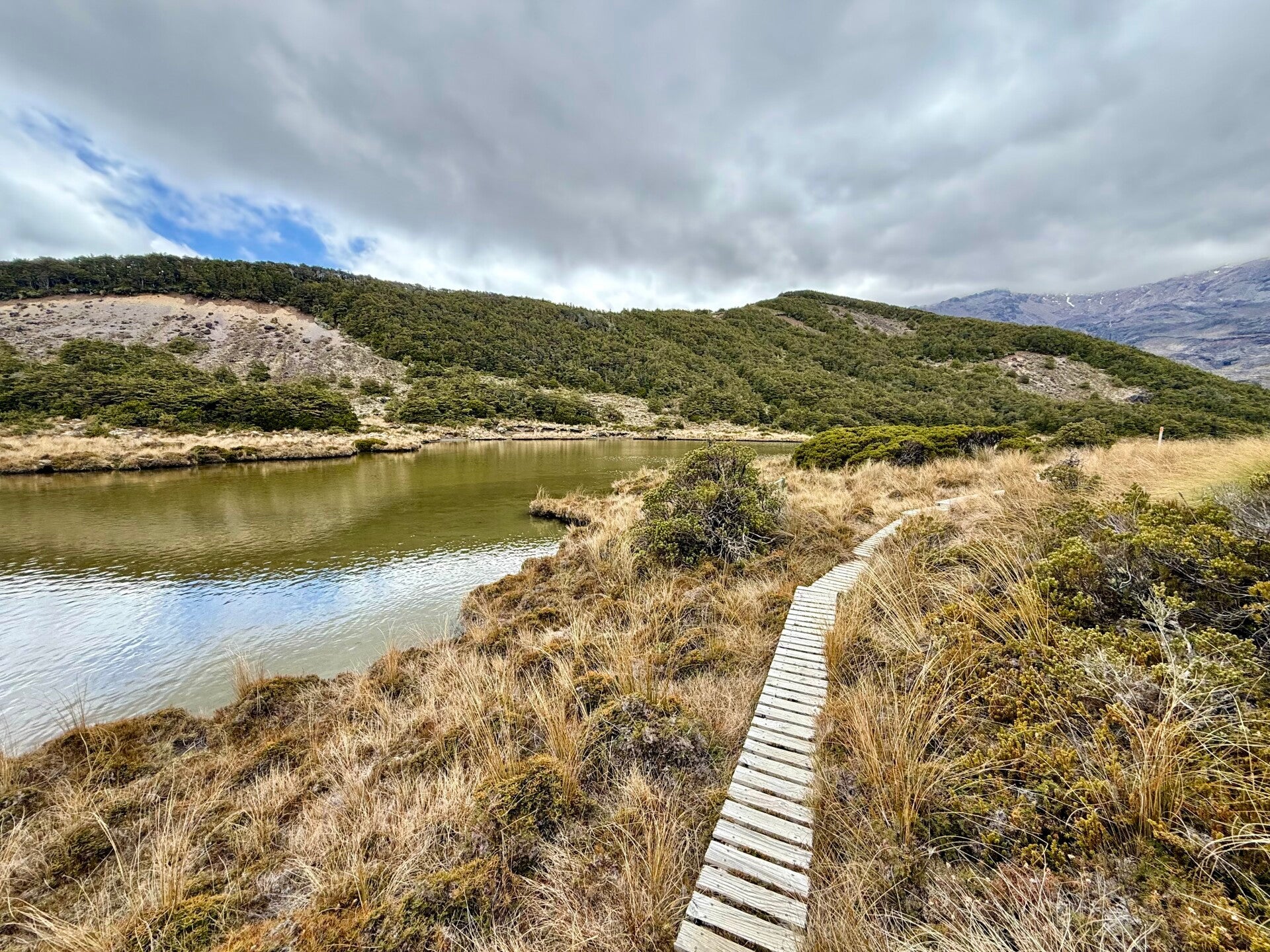
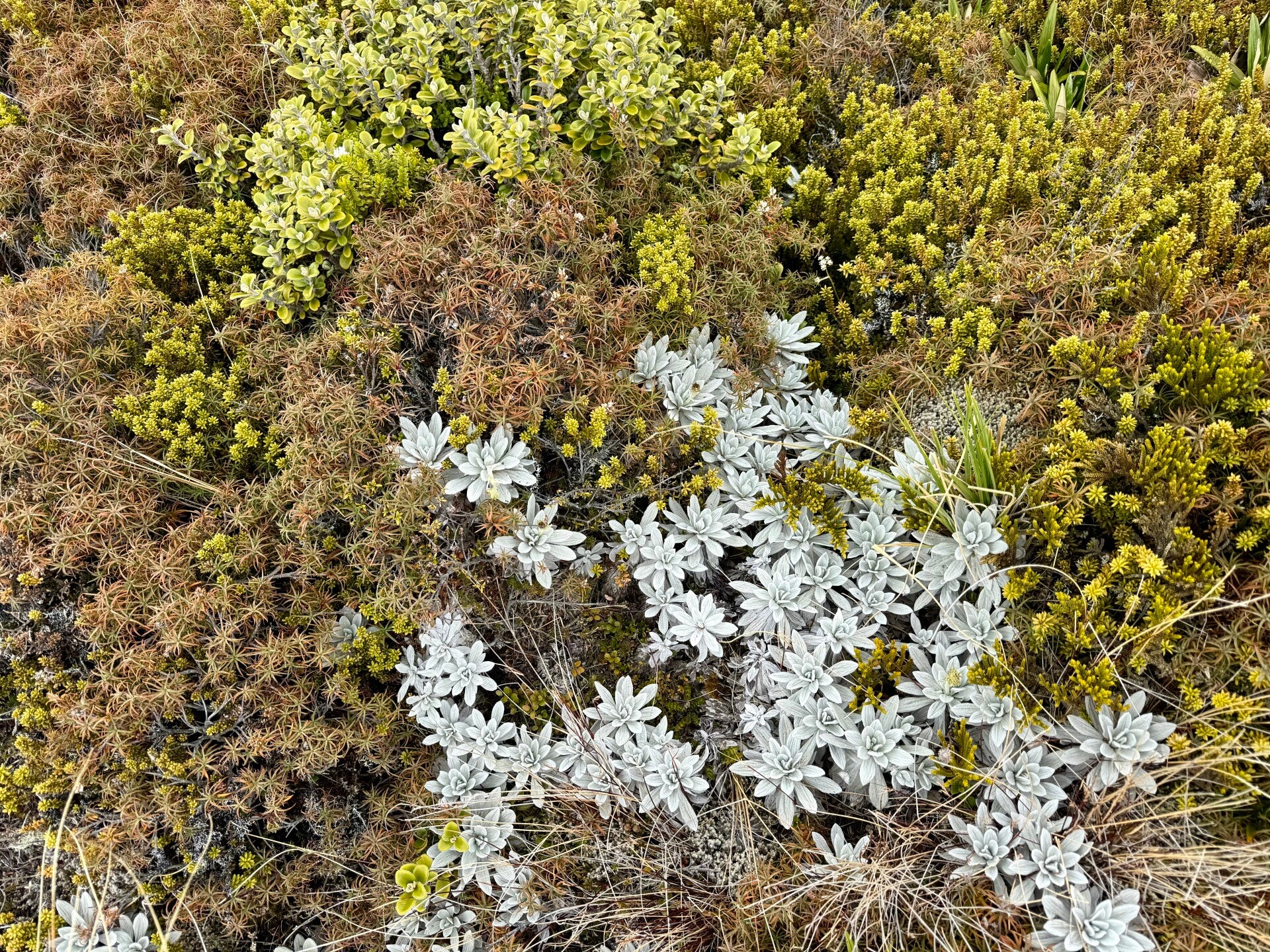
After lunch, a good climb awaits me in a new area of marshy terrain, with several terraces. I pass by the lakes I had glimpsed from the other side of the valley. Reaching the summit, I imagine I'll find a relatively flat area and be able to make good progress… I'm sorely mistaken. The afternoon is nothing but a series of ascents and descents, taking me almost five hours to cover barely ten kilometers. The constant effort requires continuous snacking on cereal bars or nuts, which I'm starting to run out of, so I resort to peanut butter, which I eat by the spoonful. I'm starting to get exhausted, but the breathtaking scenery that unfolds before me confirms why I'm here on this trek.
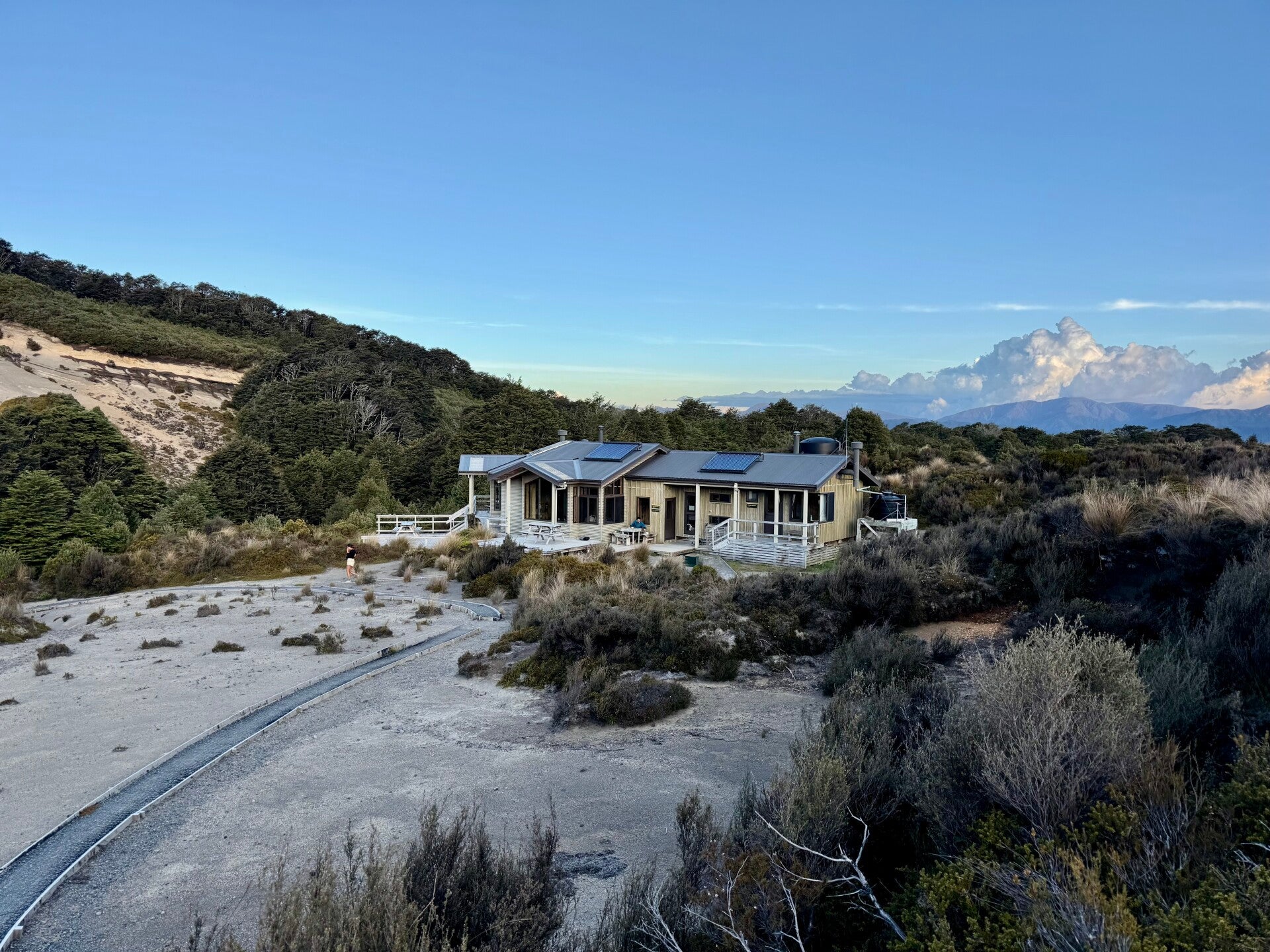
After climbing 1200 meters (4000 meters over the last three days of hiking), I arrive at the Wakapapaiti hut for the night, exhausted but satisfied. A freezing stream flows beside it. I take a dip, shivering with cold, and quickly dry myself off and change into dry clothes!
Invigorating!
🗓️ December 15, 2025
🏁 Kilometers : 1229
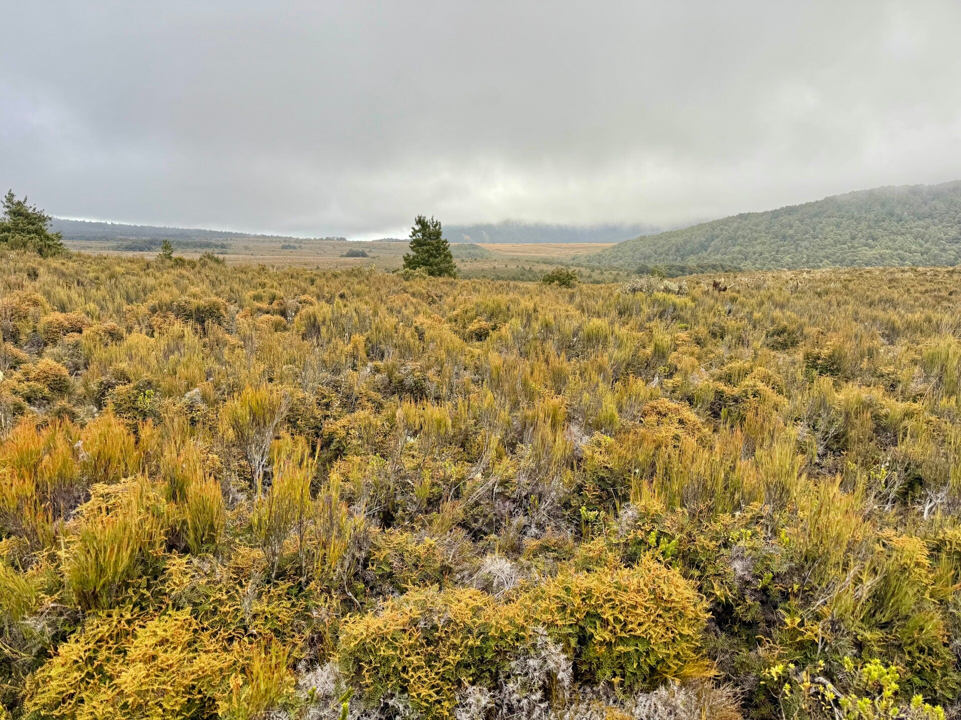
Today will be a relatively easy day. The hut where we spent the night is located at the end of the trail that circles the mountain. I simply have to take a path that descends gently through a heath of heather, somewhat reminiscent of Scottish landscapes, even more so with the gray skies and cold wind this morning. After two hours, I reach a road, which I follow for an hour and a half to reach the nearest town, Waimarino.
I take advantage of a small shop to stock up on supplies needed for the next two days of hiking, to reach the starting point for the five-day canoe trip, and also to do some laundry.
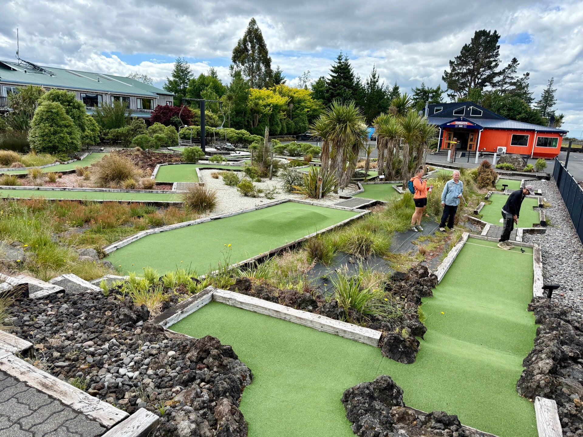
I then meet up with the group of hikers we've been seeing here and there since the beginning, often scattered but today all together for a drink at a bar followed by a round of mini-golf (which I won !).
There will be about fifteen of us going down the river together, it promises to be quite an experience!
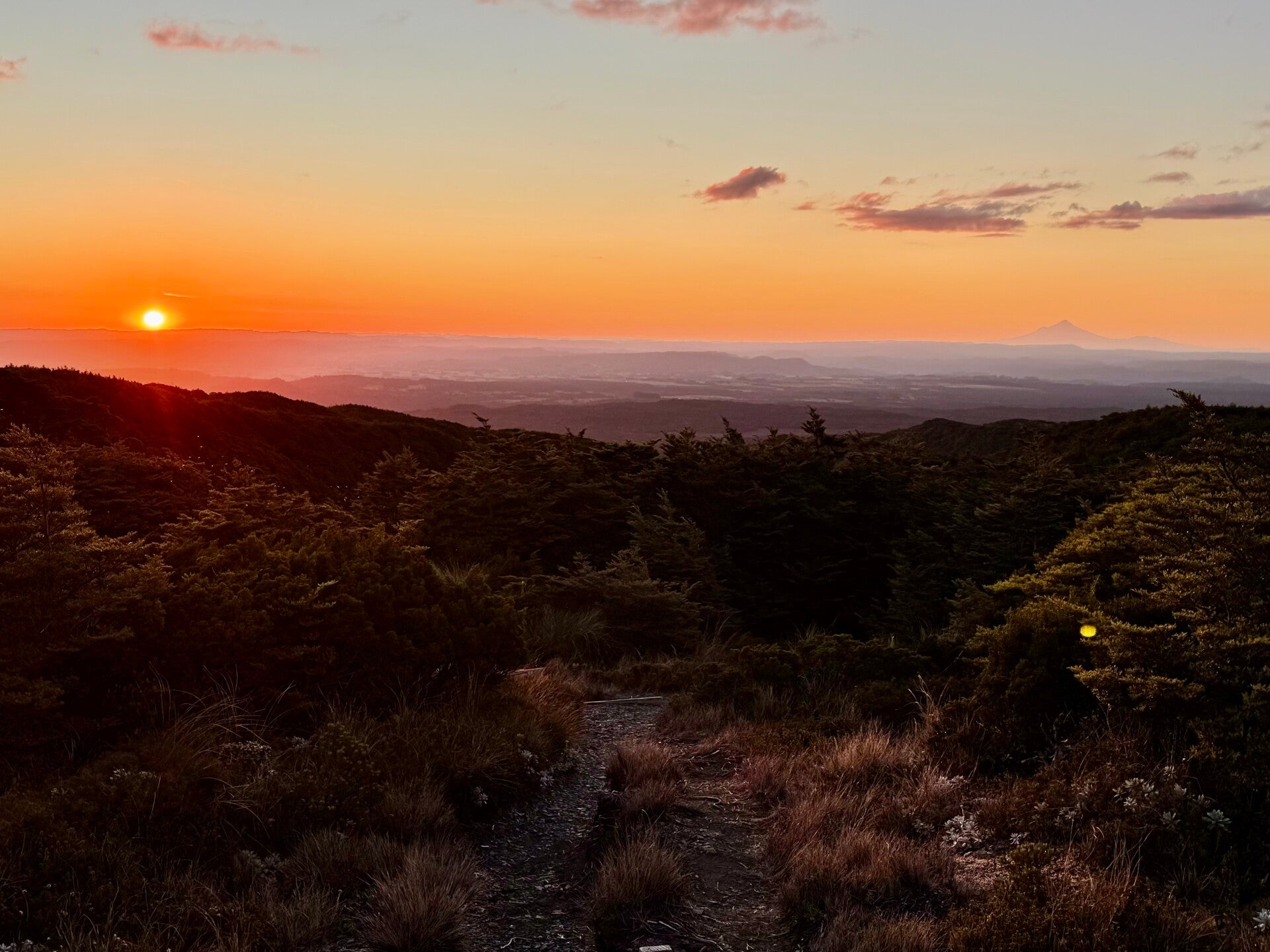
Photos from December 12, 2025
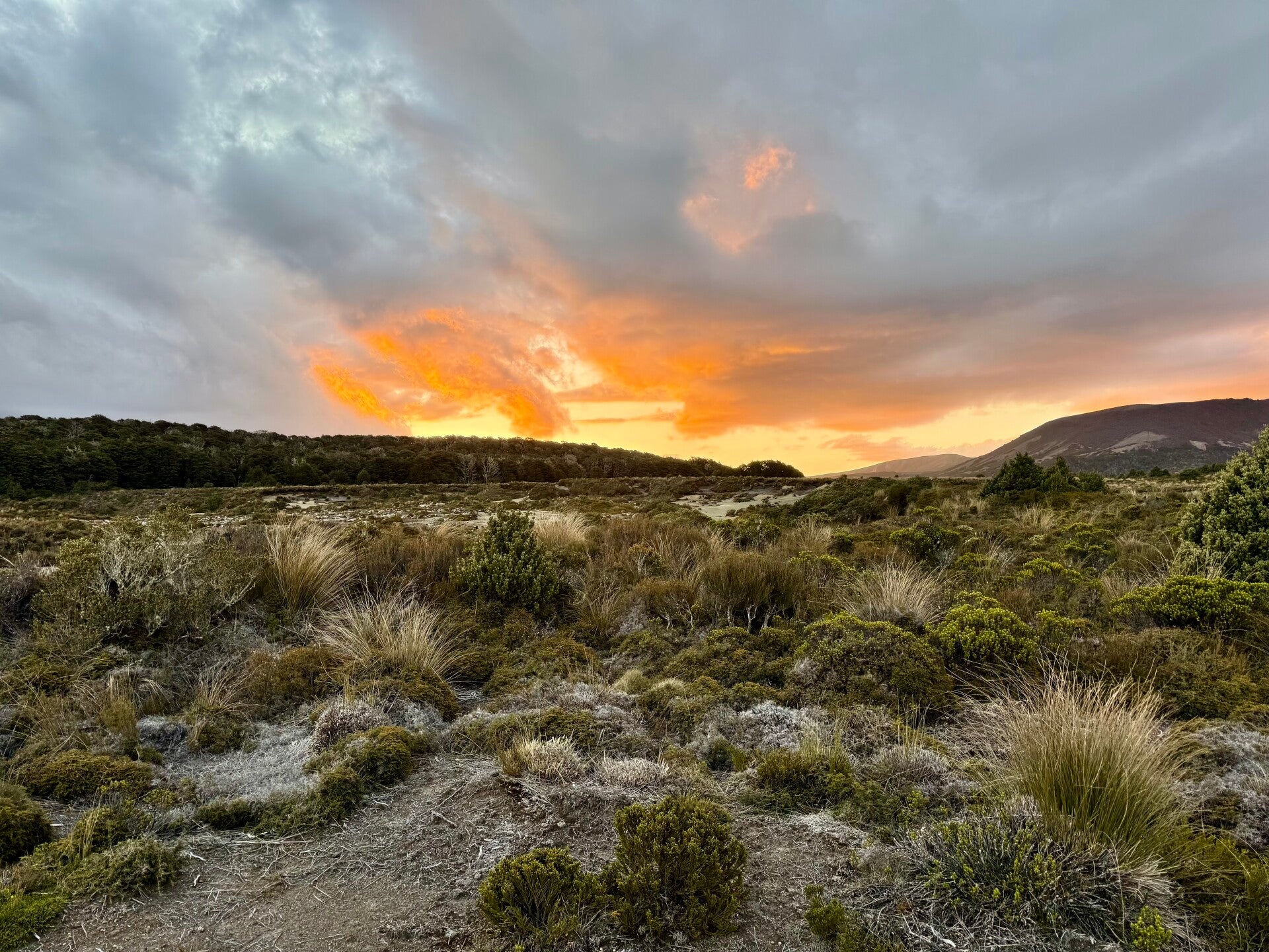
Photos from December 13, 2025


Photos from December 14, 2025

Photos from December 15, 2025
Add comment
Comments