🗓️ February 22, 2026
🏁 Kilometers : 2682
This morning it's croque-monsieur day at the campsite; I'm making a whole bunch for my friends. Here, breakfasts are usually savory: eggs in omelets, scrambled or poached, pies, croque-monsieurs (which is call toasties abroad), cheese scones, hash brown, sausages, bacon, a slice of bread with avocado or mushroom sauce…
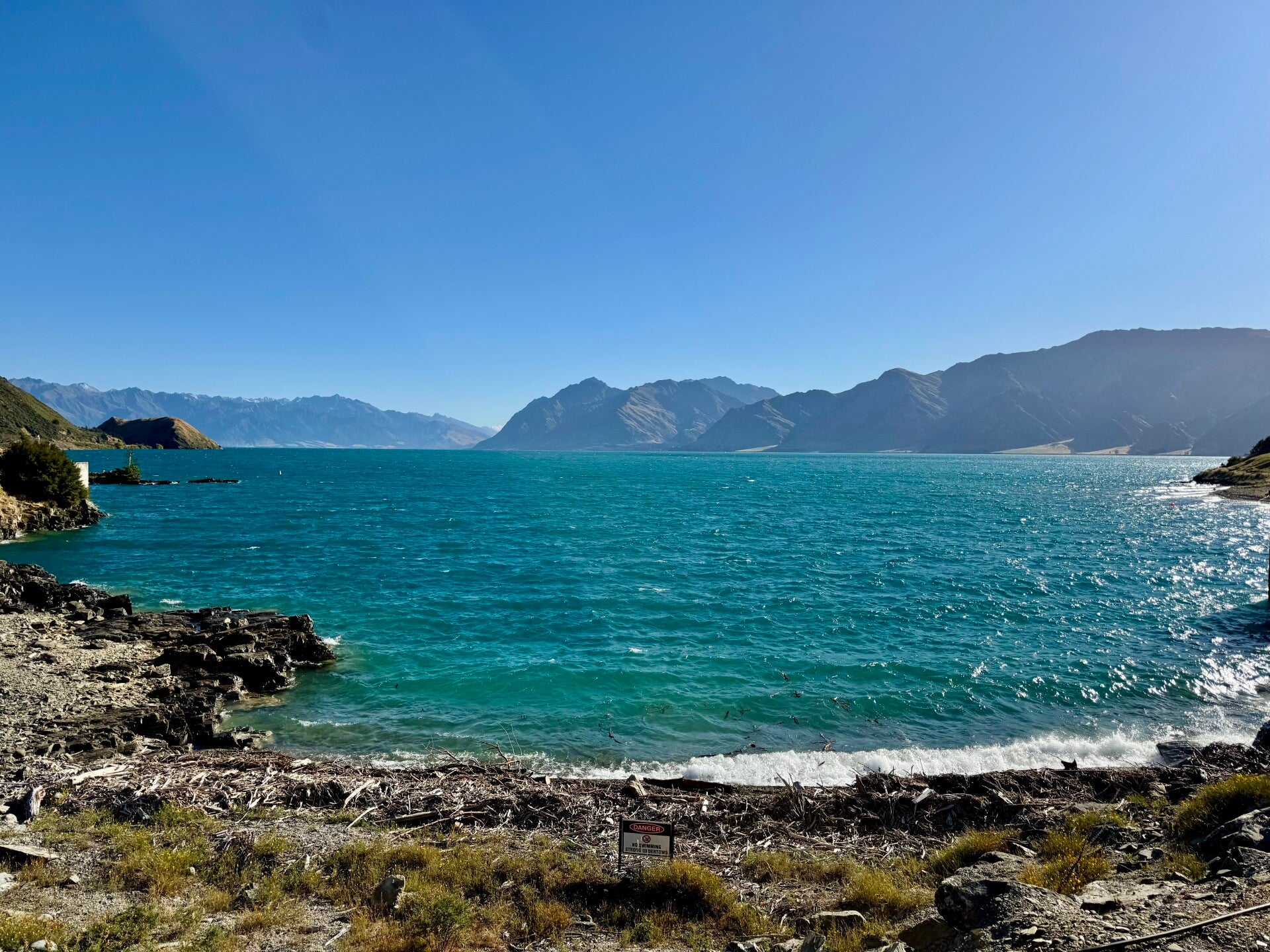
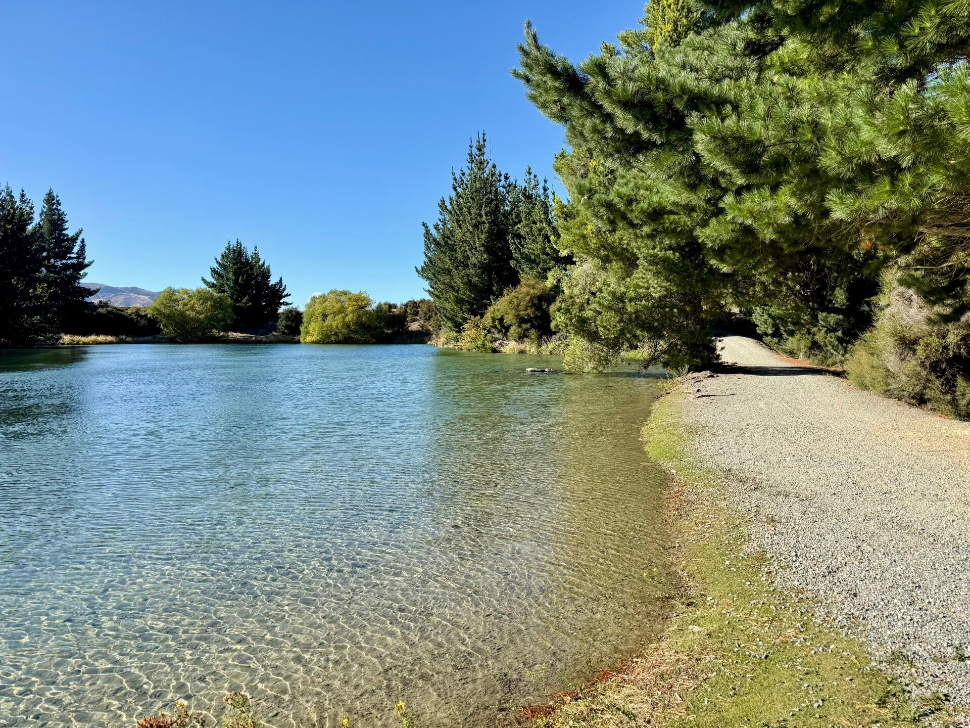
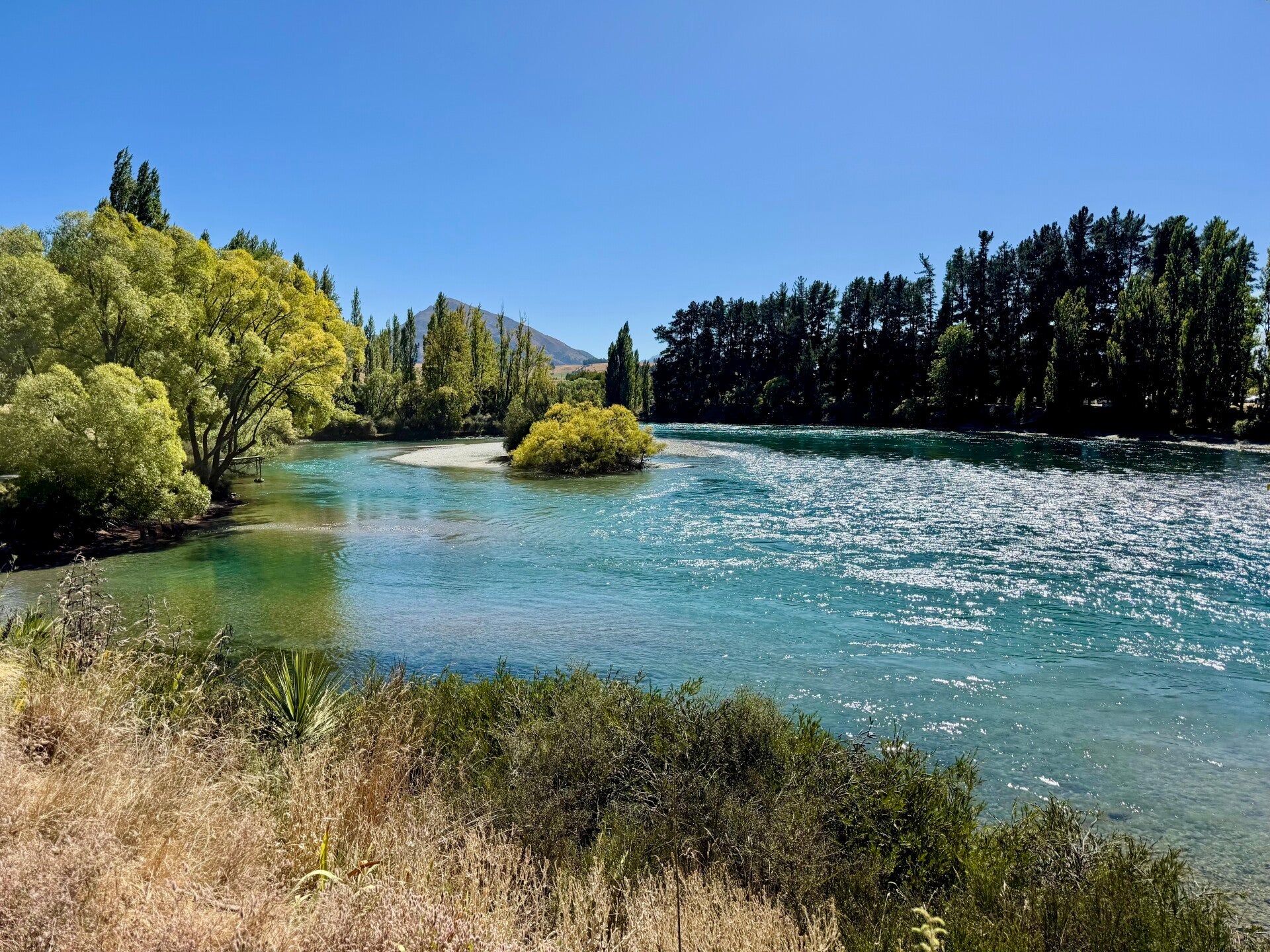
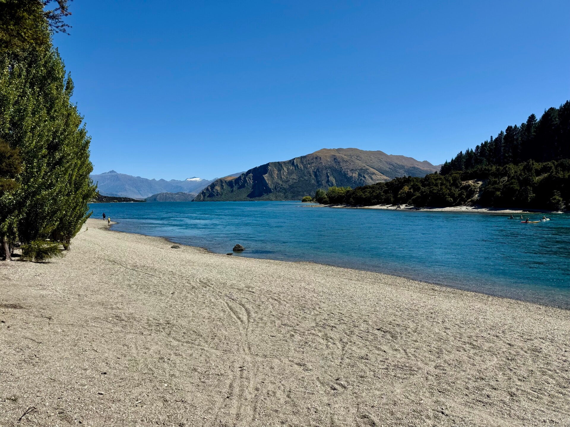
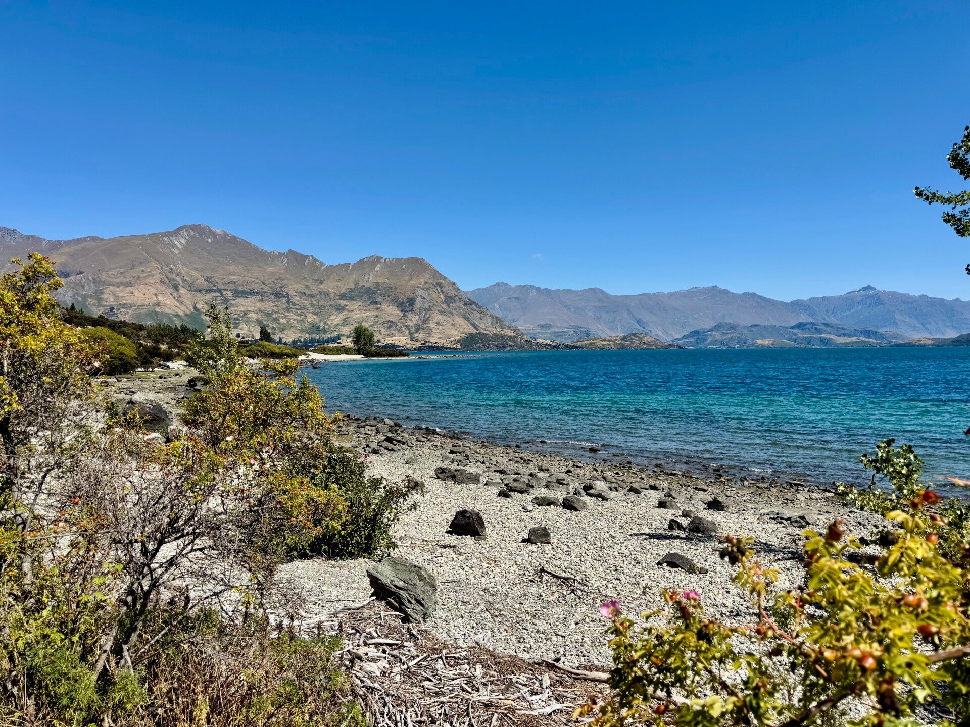
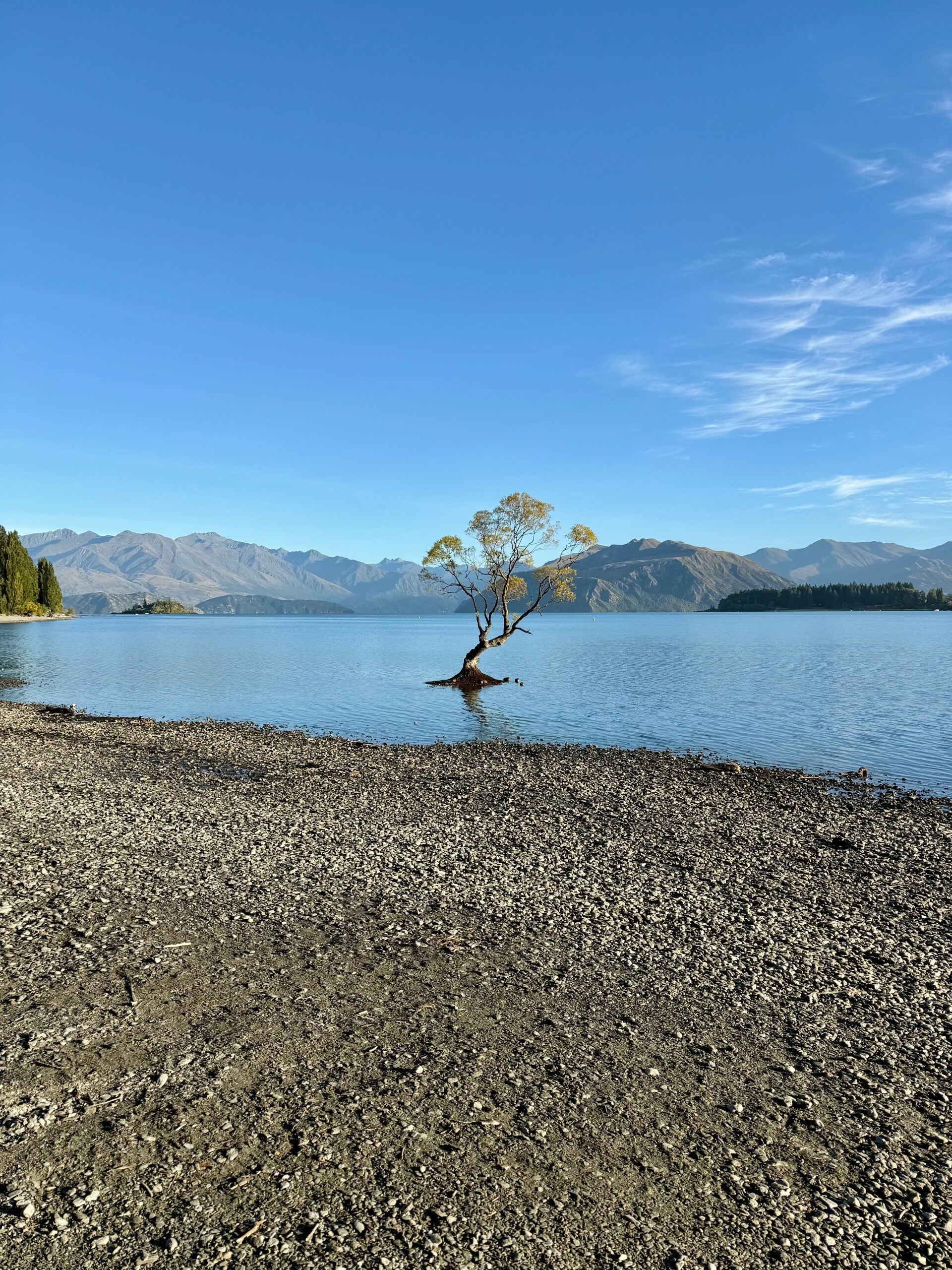
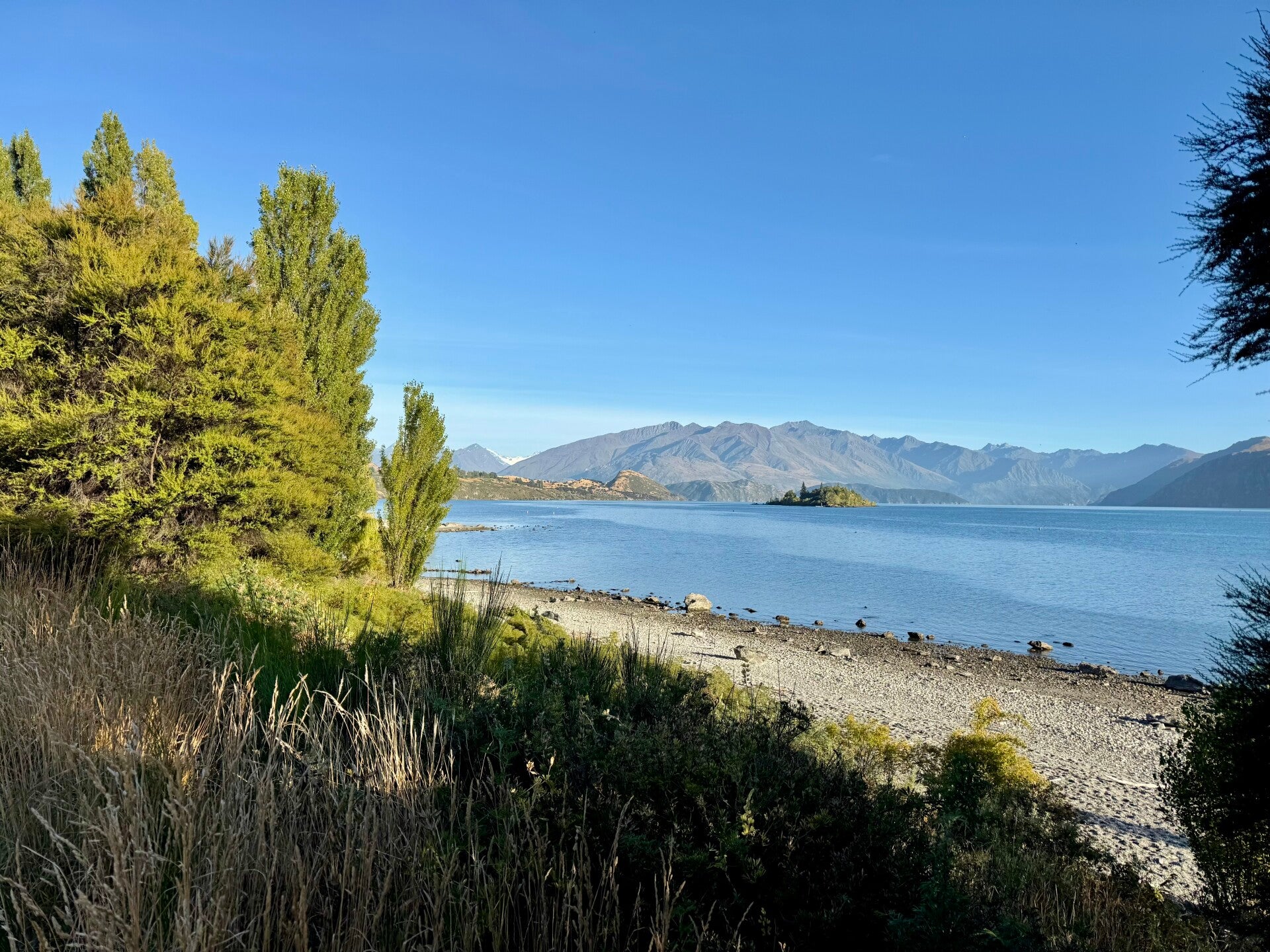
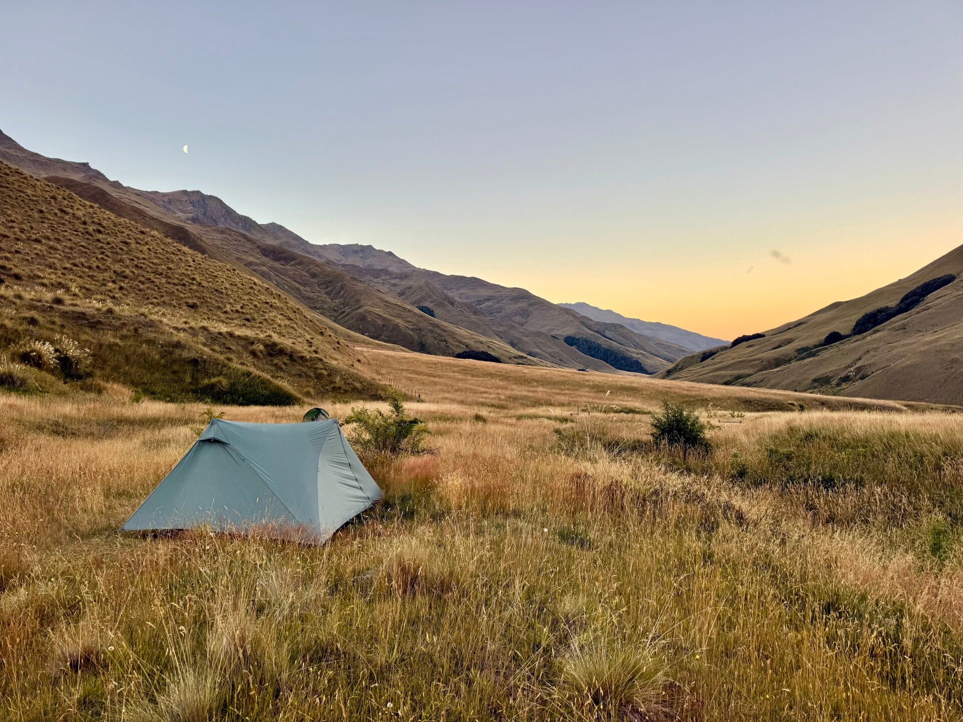
I start walking around 9:30 a.m.; I have about 25 kilometers to cover to reach the town of Wanaka. It's Sunday morning, so the gravel path connecting the two towns is very busy with walkers and cyclists. Quite flat, it's rather "easy," and although it runs alongside Lake Wanaka with some nice views, I find it rather boring and can't wait to stop walking for the day.
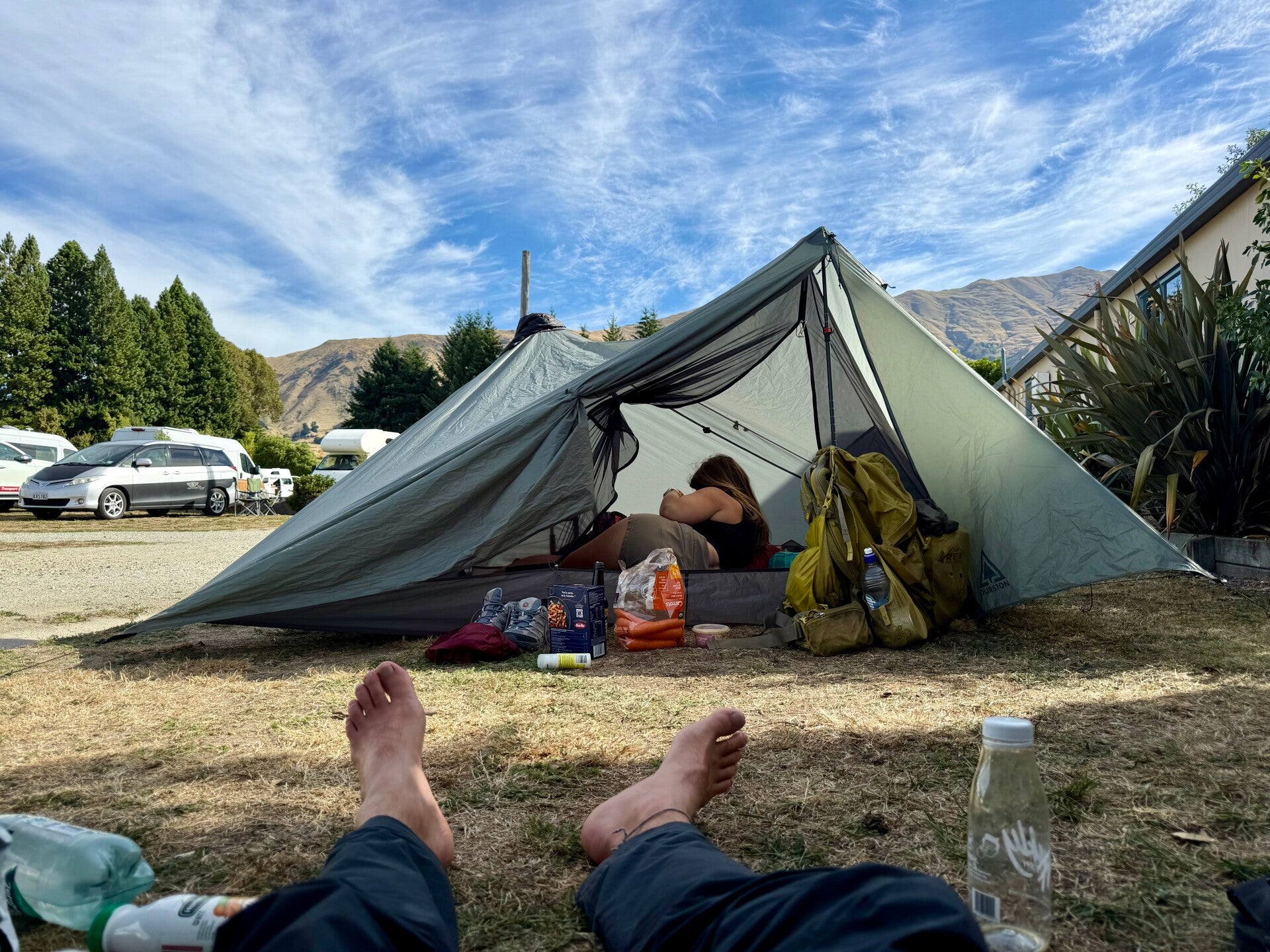
I finish around 2:30 p.m., have lunch in a café, and stock up on supplies for the next three days of walking. We end the evening with Natalie eating in our respective tents that we pitched side by side, conversing like two neighbors in their homes.
🗓️ February 23, 2026
🏁 Kilometers : 2706
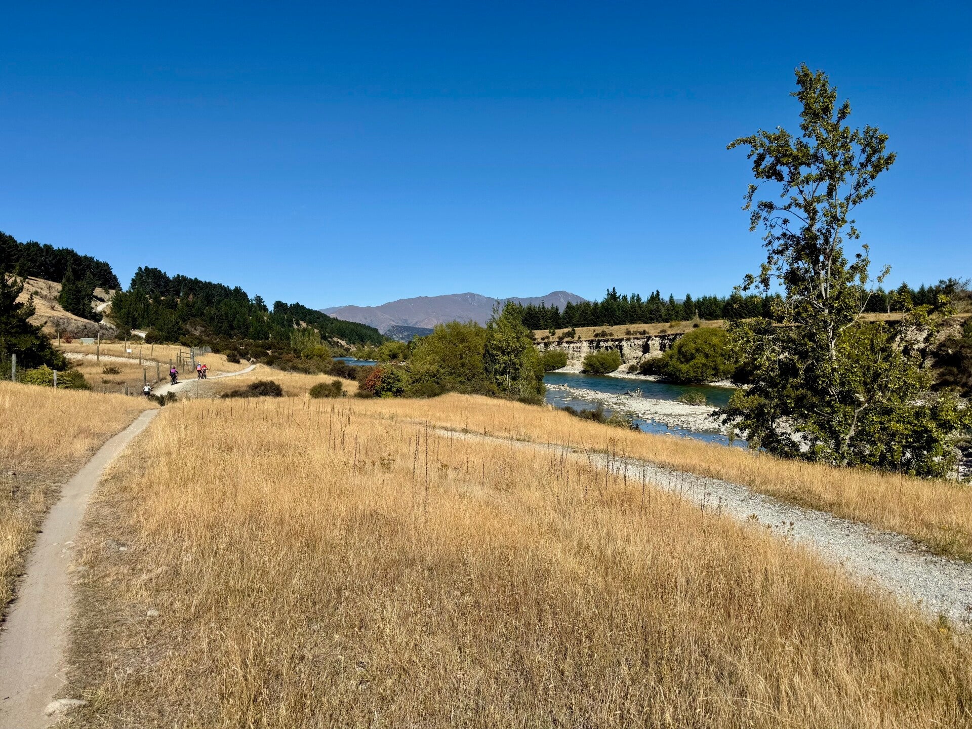
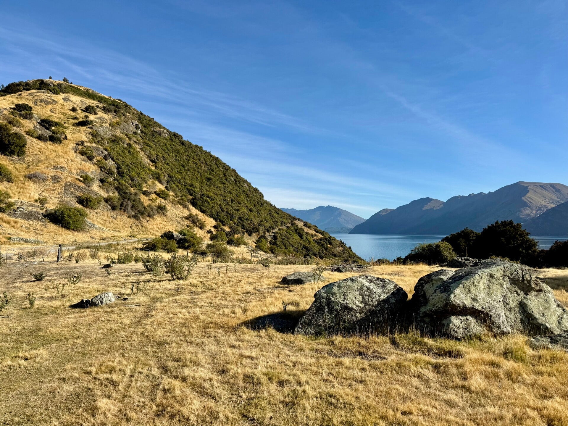
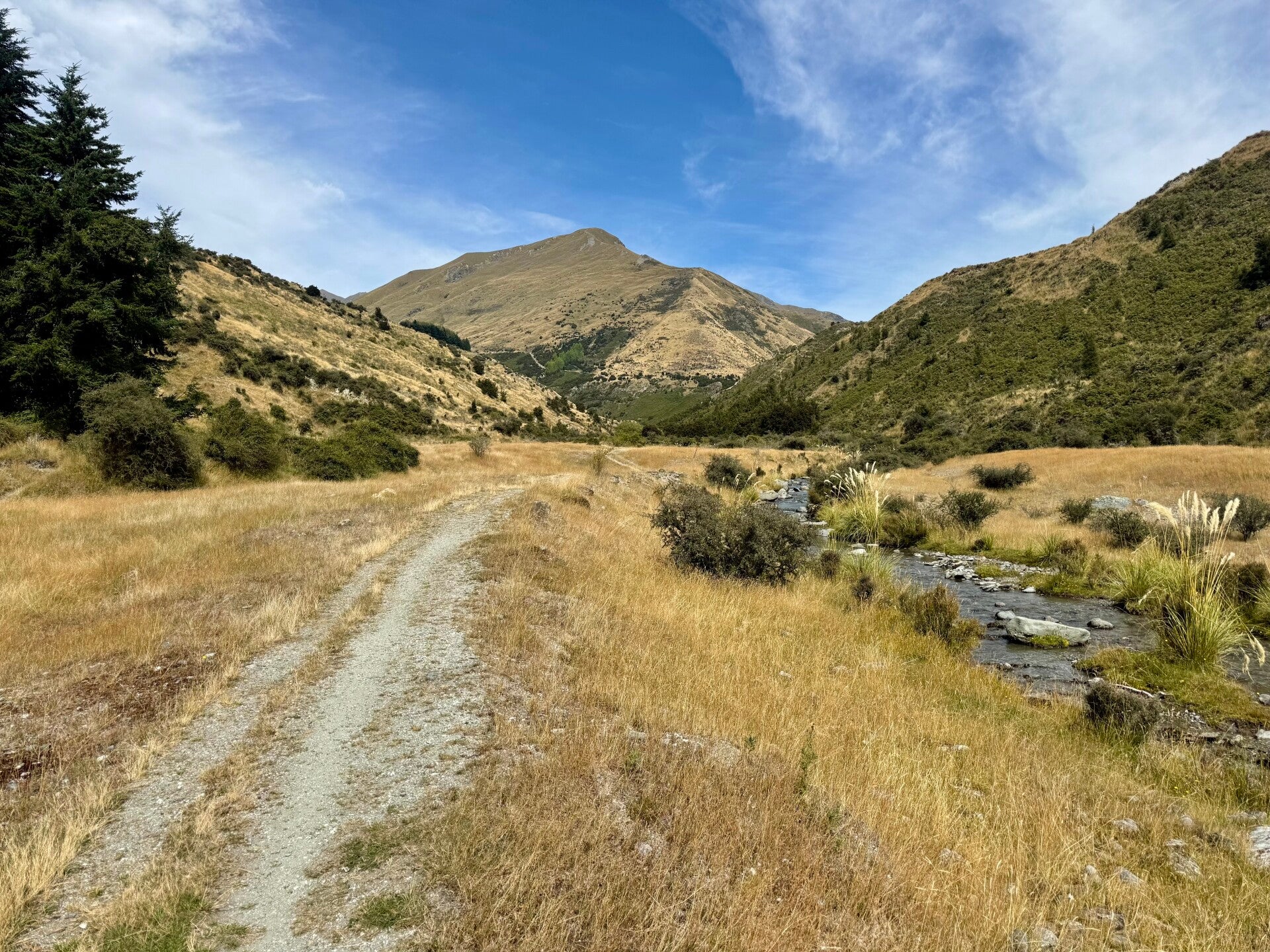
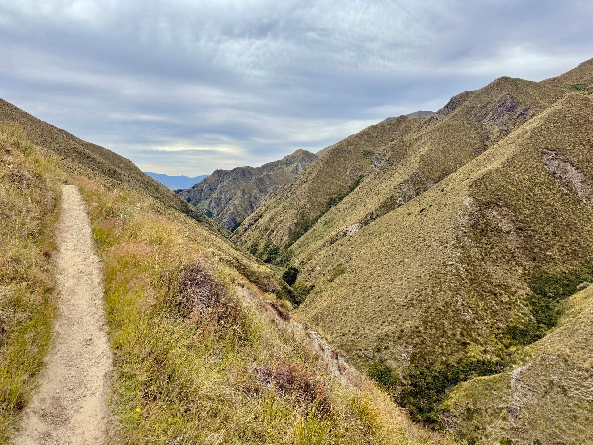
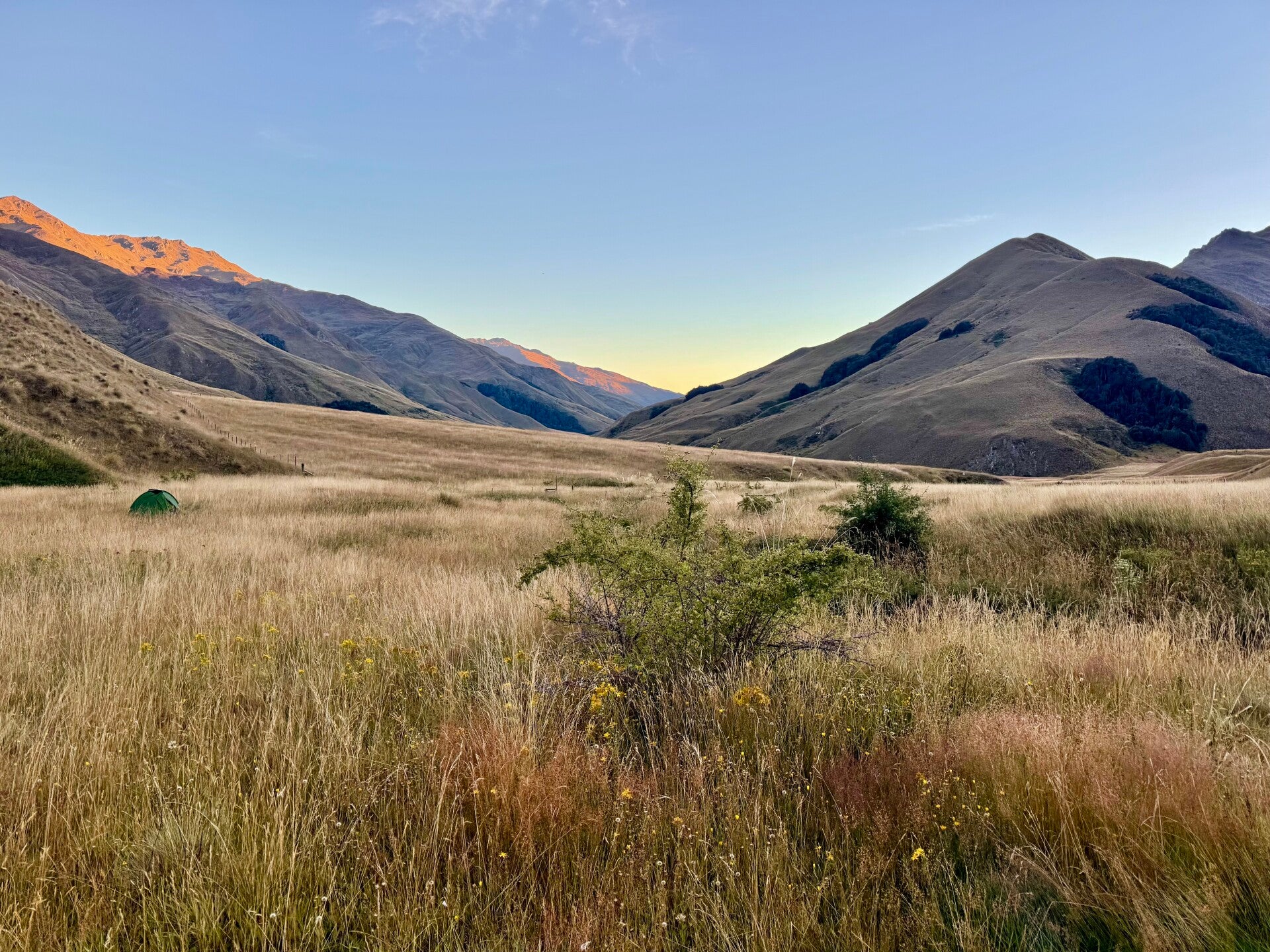
The trail continues along Lake Wanaka for the first fifteen kilometers before veering left and climbing gently for the next nine kilometers. I'm feeling pretty sluggish today; on this trek, there are days when I can hike 30-40 kilometers without breaking a sweat, and sometimes just 20 seem to go on forever. I catch up with Natalie just before the first hut, and even though it's only 3 p.m., we decide to call it a day.
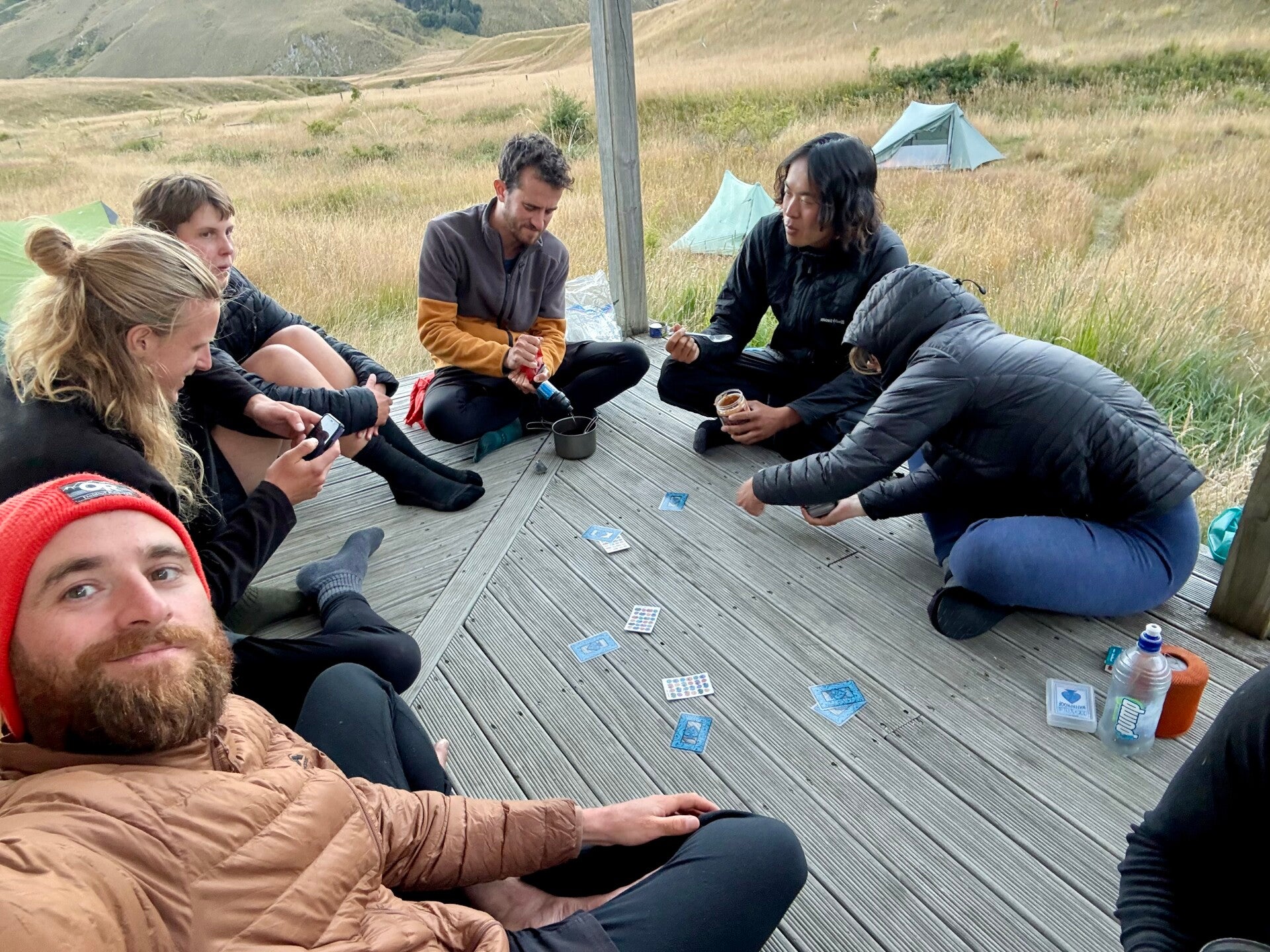
We spend the evening playing cards with other hikers and go to bed early.
🗓️ February 24, 2026
🏁 Kilometers : 2723
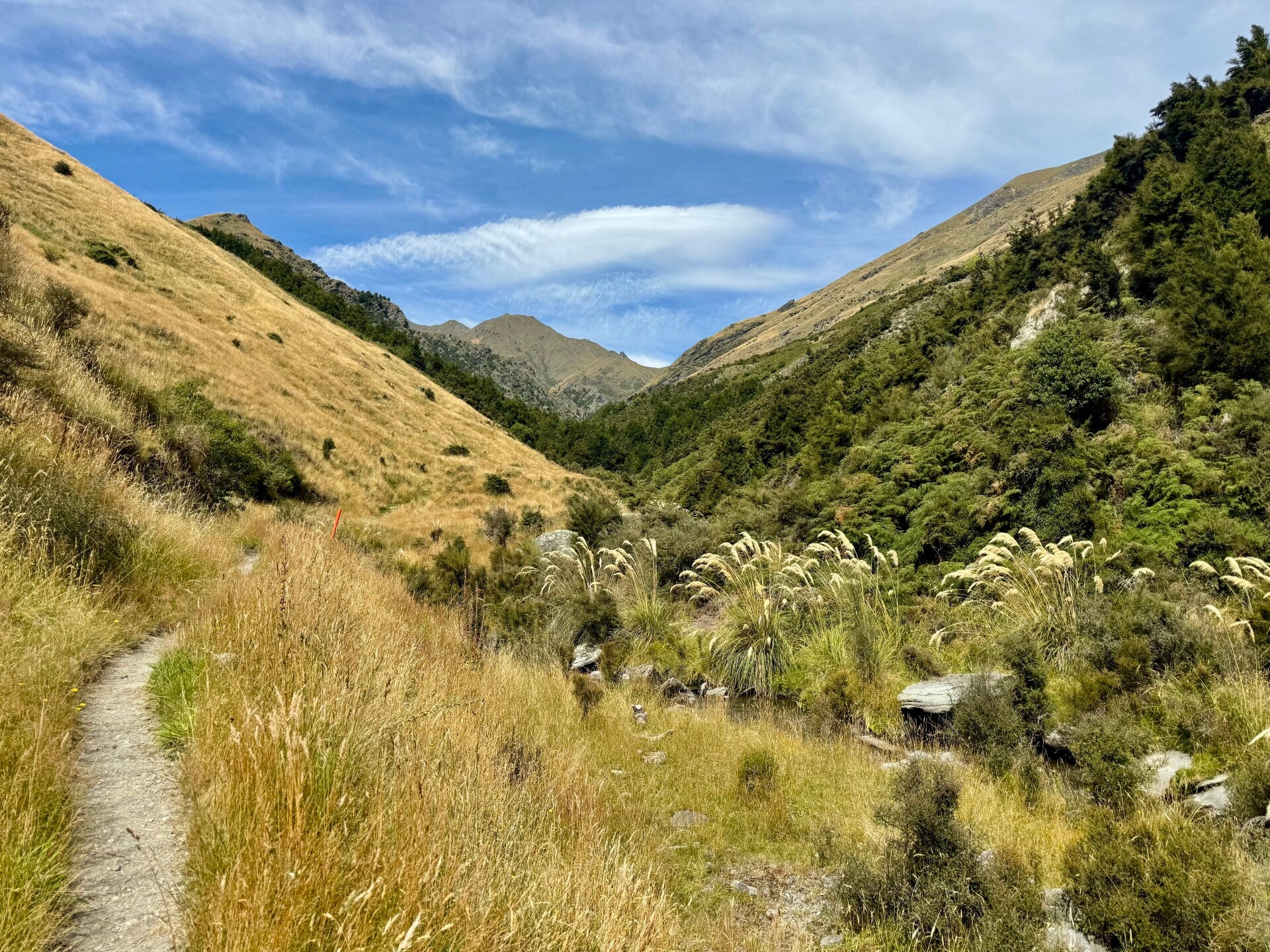
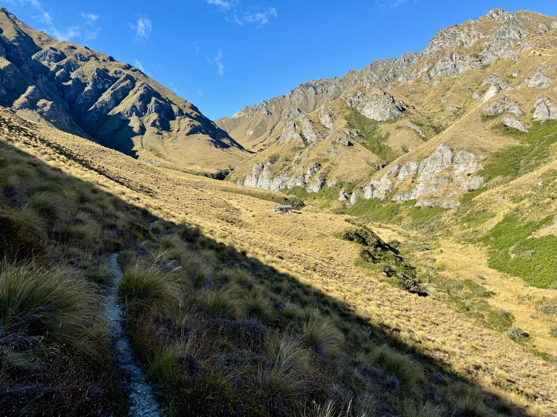
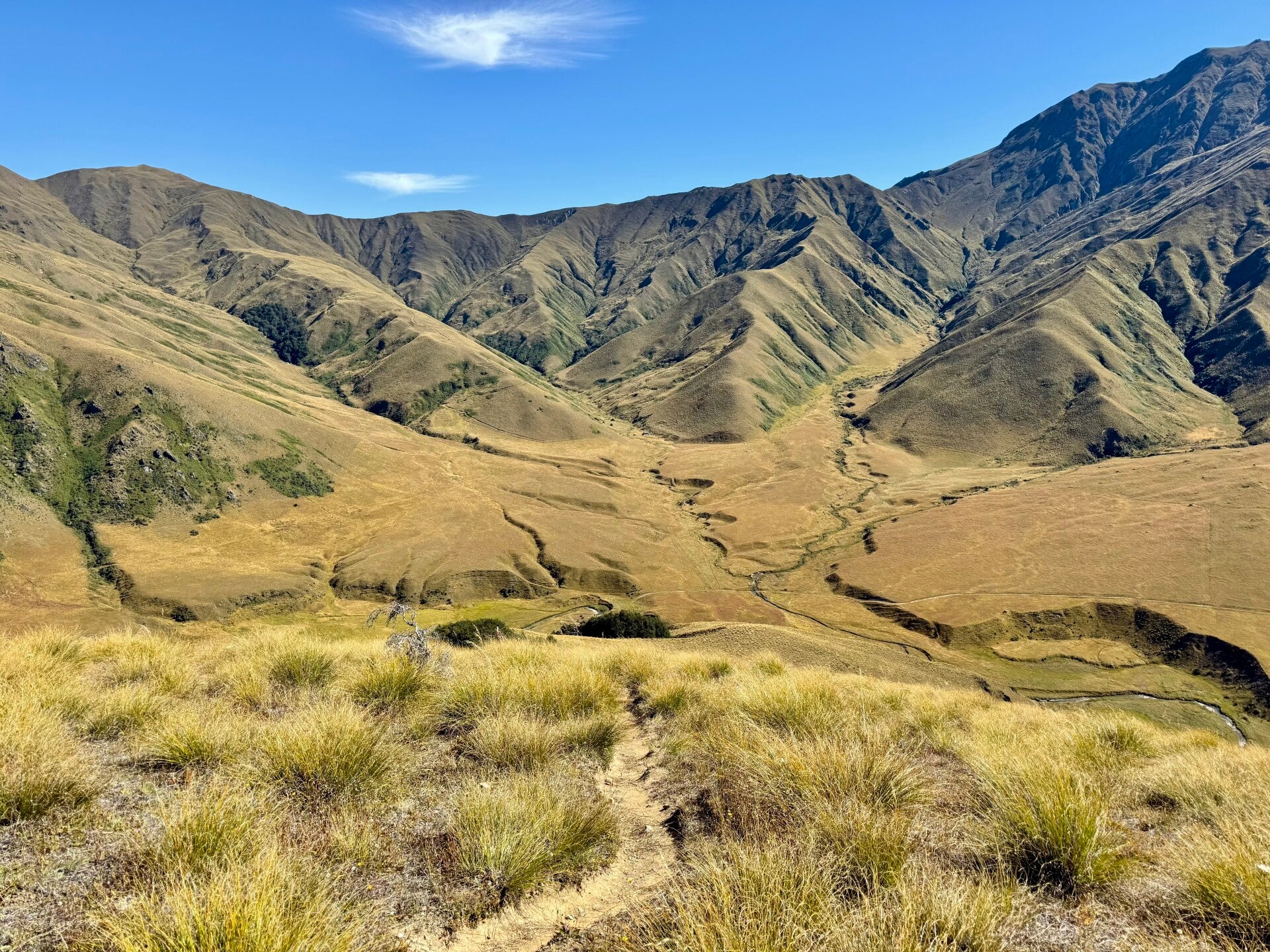
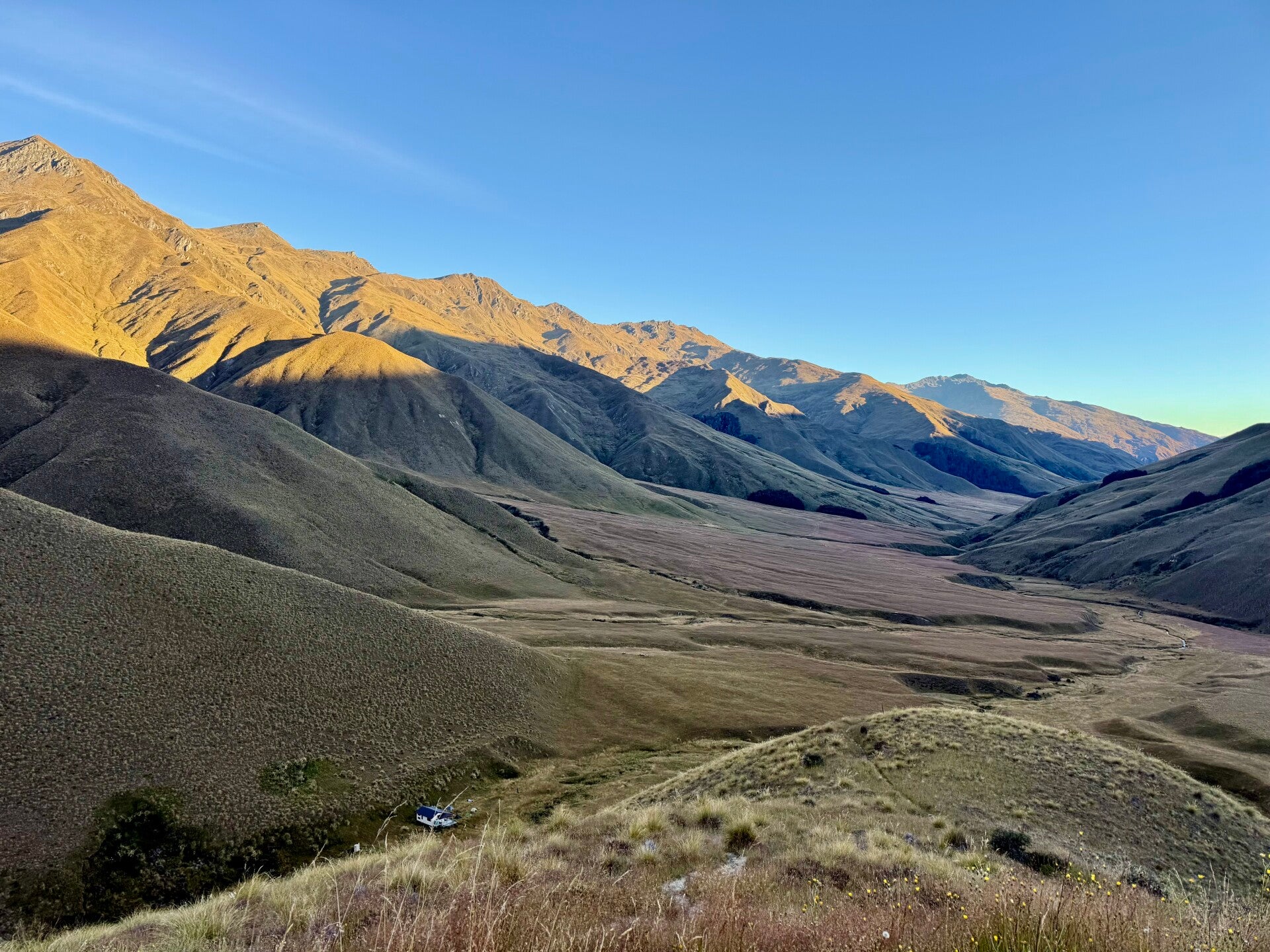
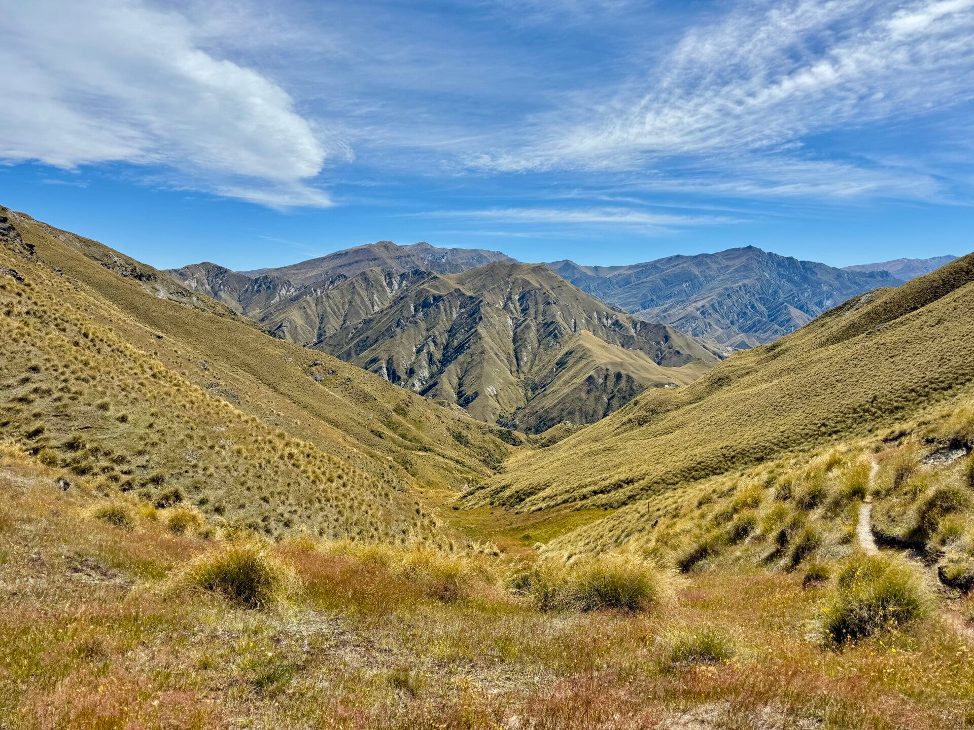
The day promises to be challenging, with three successive mountain passes to cross, each involving a steep 500-meter climb and descent. The first pass is relatively easy; we have barely started the day, so we still have plenty of energy. After descending and hiking for two and a half hours, we reach the first hut where we have a snack.
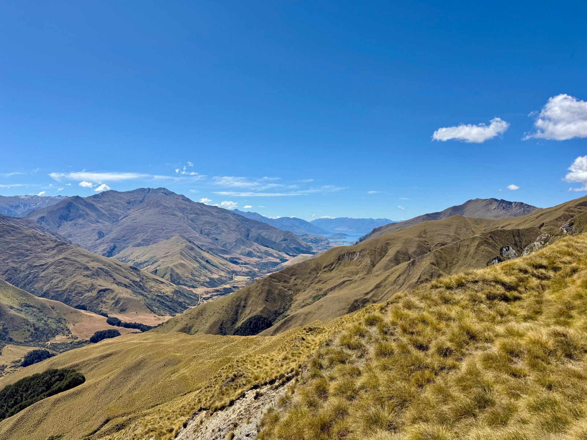
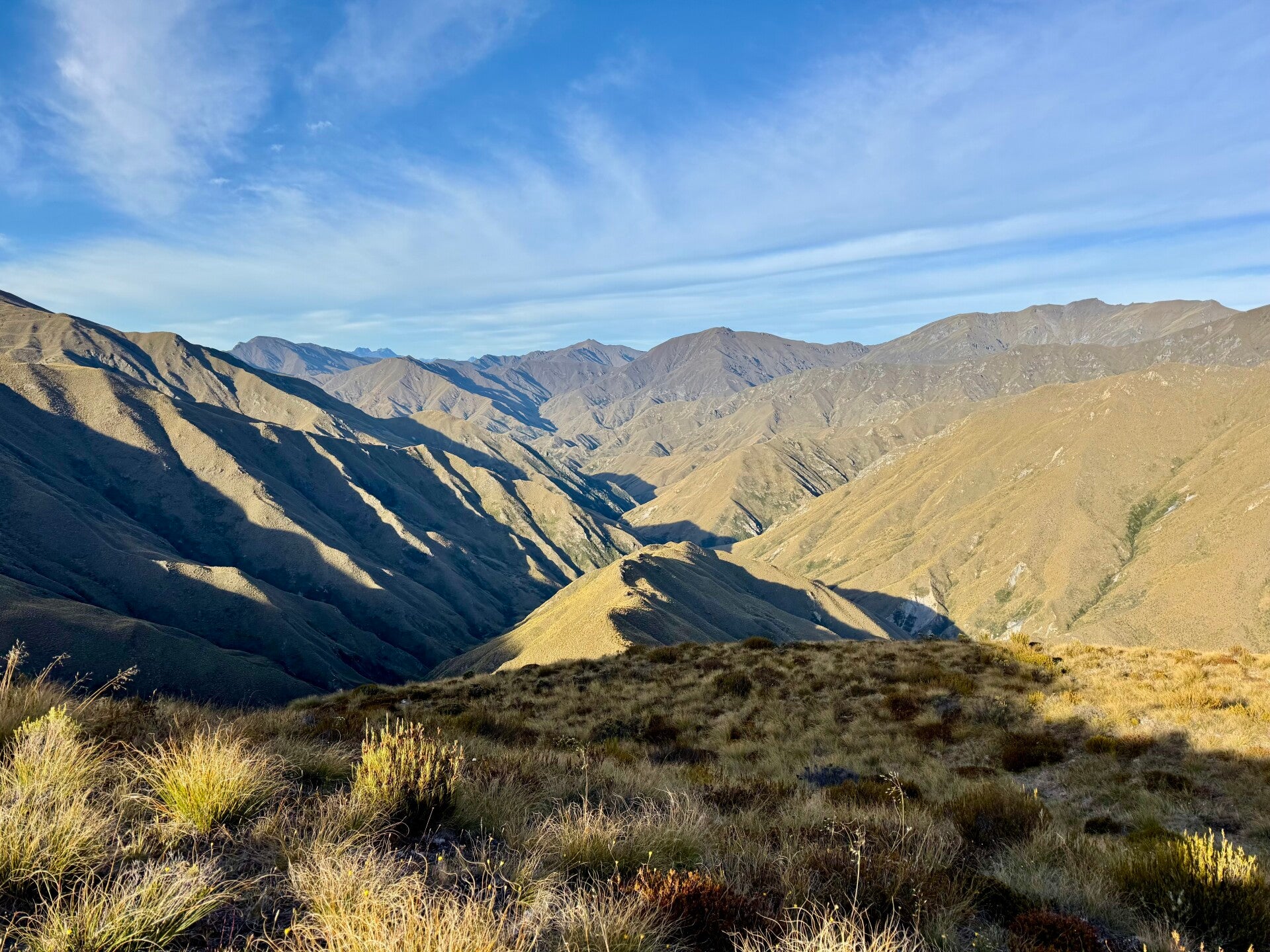
The climb up the second pass is more strenuous, our legs starting to feel heavy and the heat becoming intense. We aren’t complaining about being hot; it is one of the first time we are experiencing it since arriving on the South Island. The sky is a stunning blue, and the majestic scenery consists mainly of mountains covered in golden grass. At the summit of the second pass, we take our lunch break, followed by a short nap.
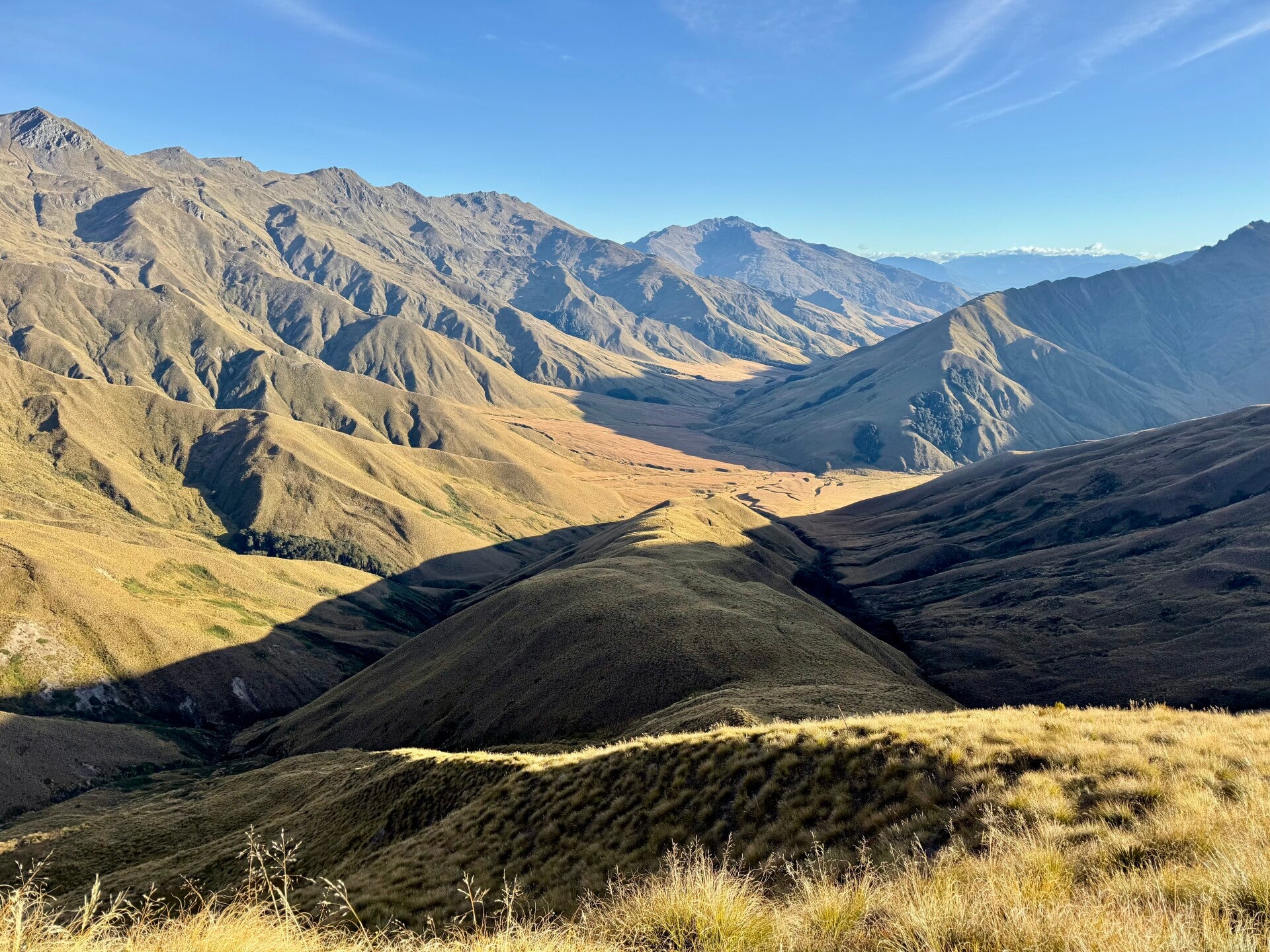
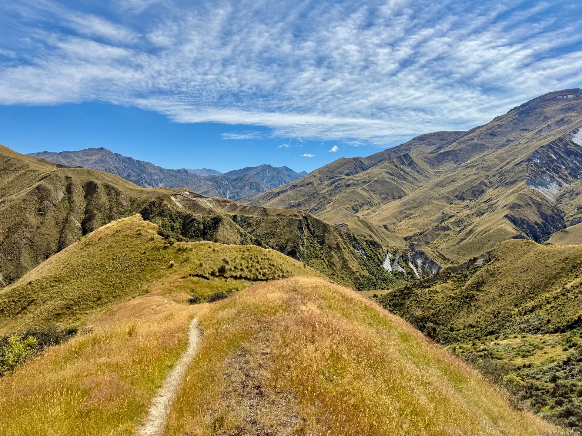
I descend 500 meters for the second time that day, and no sooner have I reached the bottom than another climb begins immediately, this third time being the most difficult. My legs feel like lead, and the slope is steeper than ever. A landslide has washed away part of the trail, so an alternative route to rejoin the original path higher up takes us directly across the grassy slope, involving some slips and a lot of effort. By the time I reach the summit of the third pass, I'm completely exhausted!
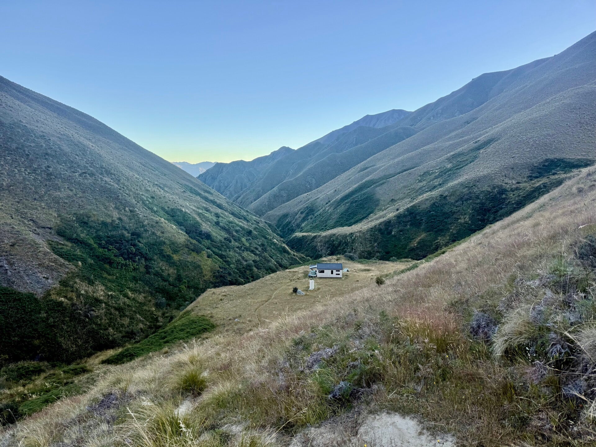
The view from up there is magnificent, so I take the time to admire it and recover, knowing that I only have one descent left to reach the hut where I'll spend the night. It has twelve beds, but there are more than twenty of us hikers tonight, so we pitch our tent and play cards after dinner.
But not too late! No midnight curfew; Cinderella is exhausted tonight!
🗓️ February 25, 2026
🏁 Kilometers : 2751
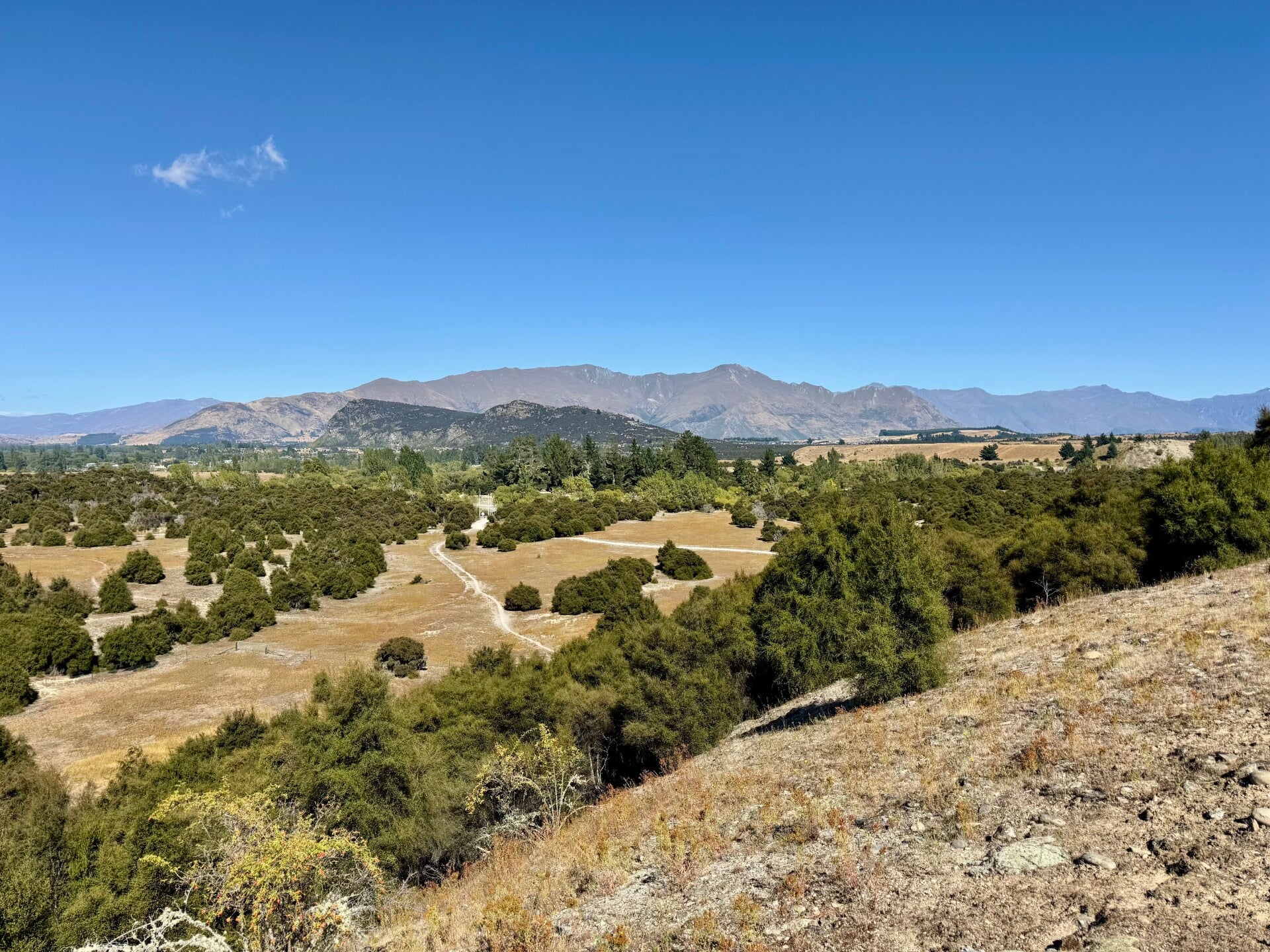
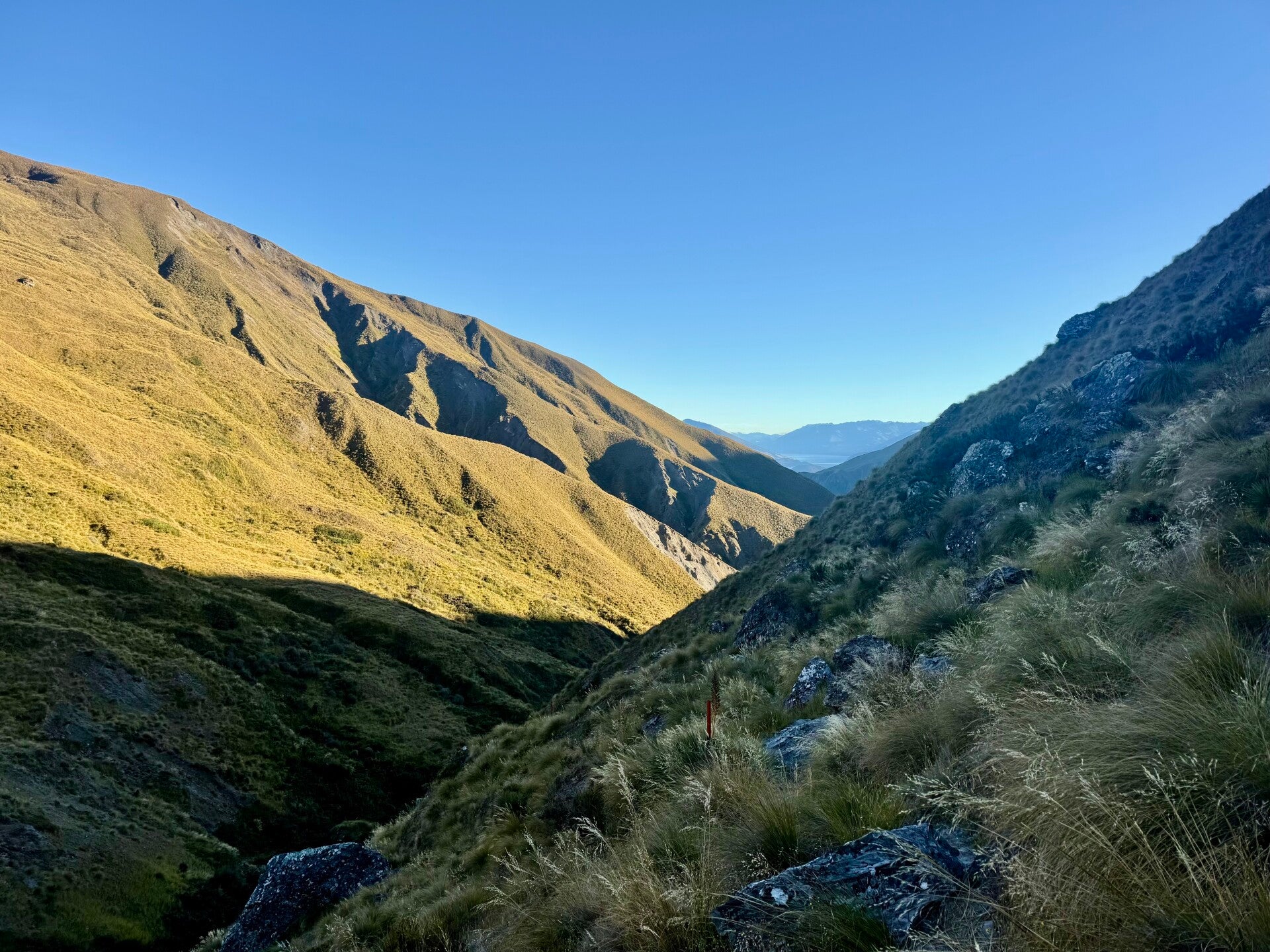
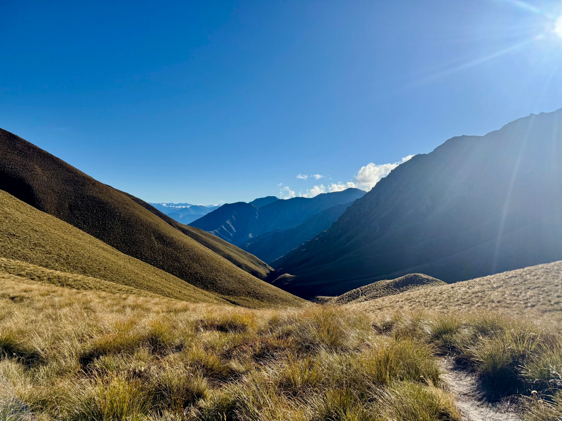
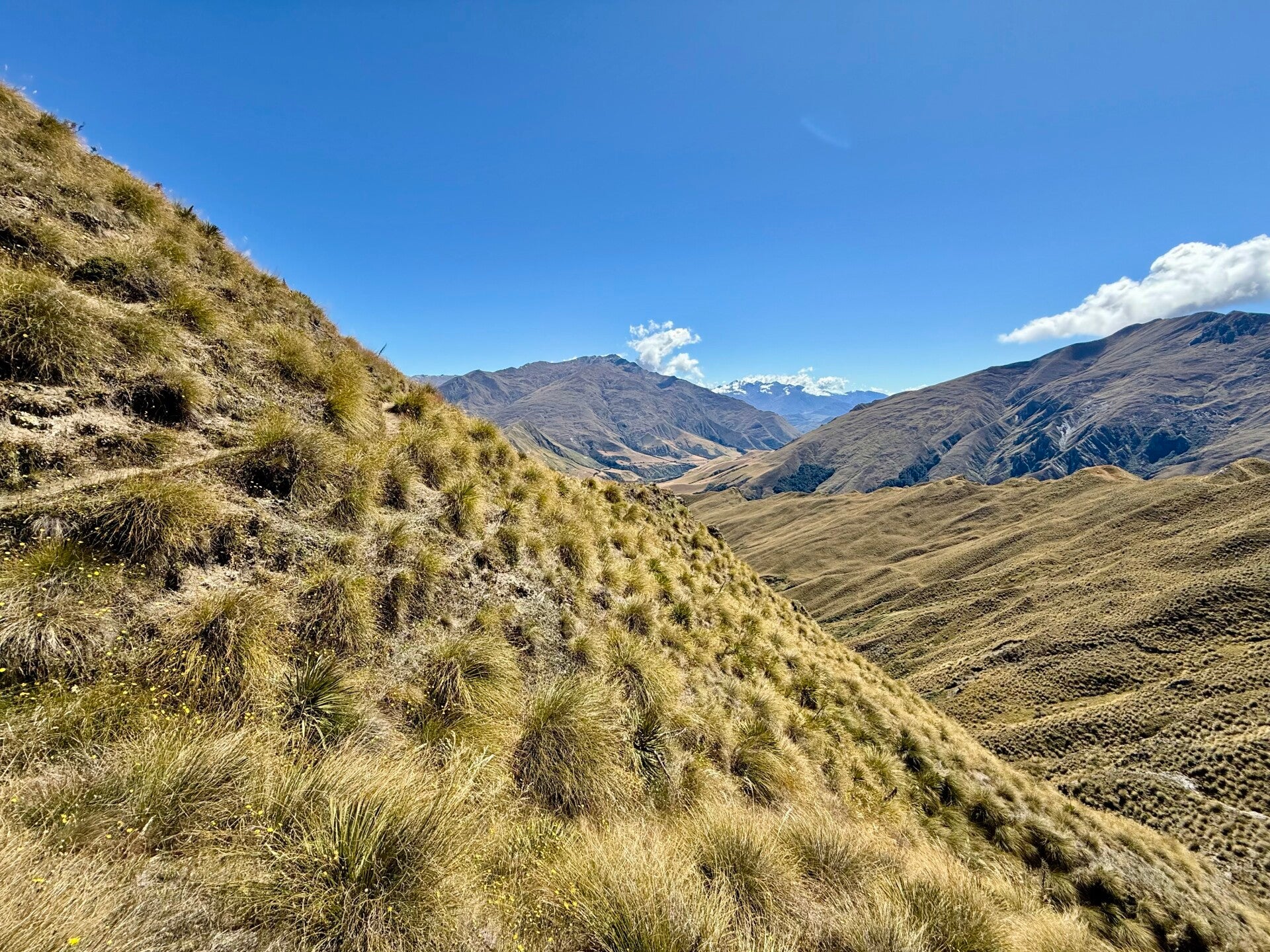
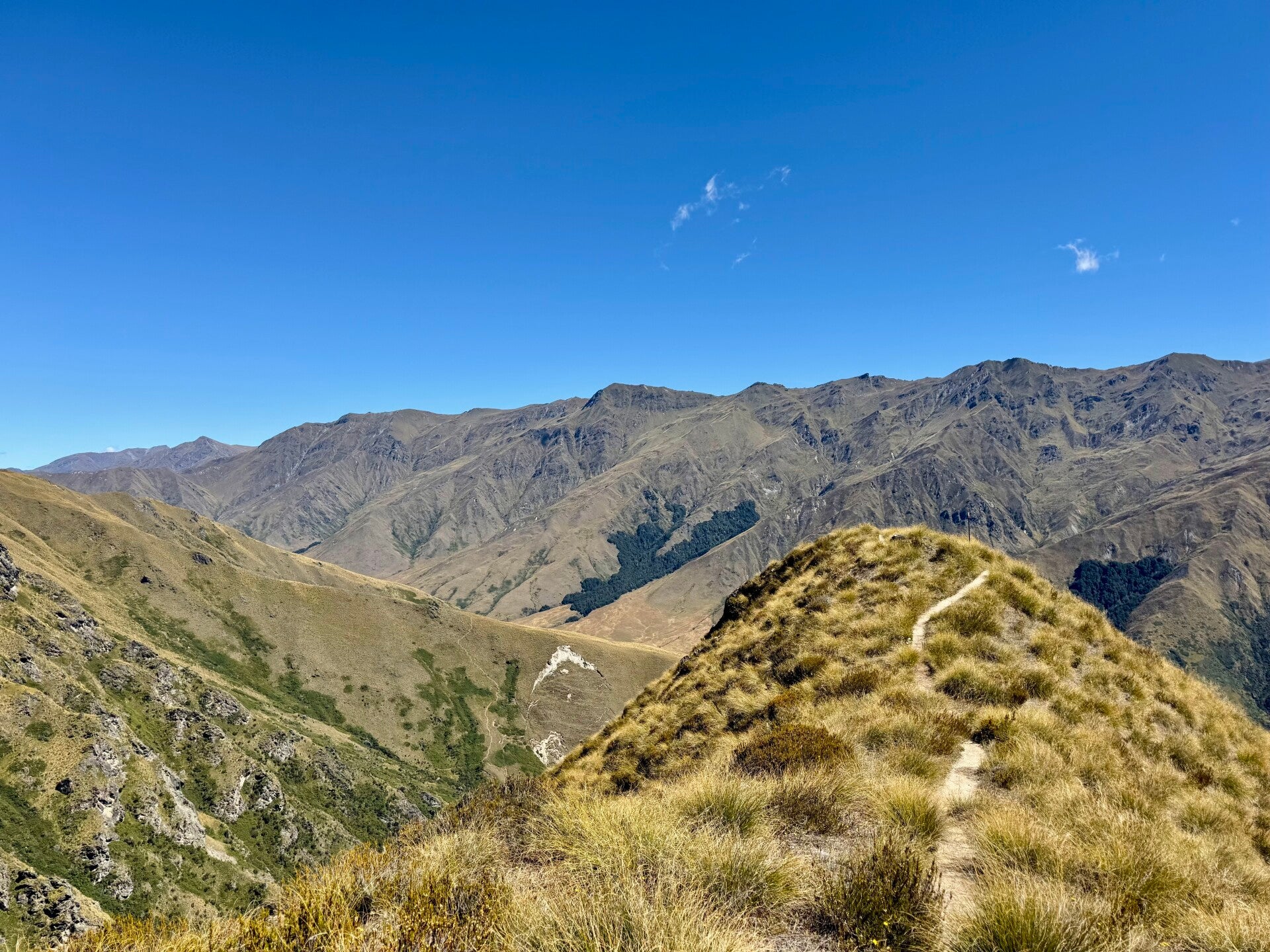
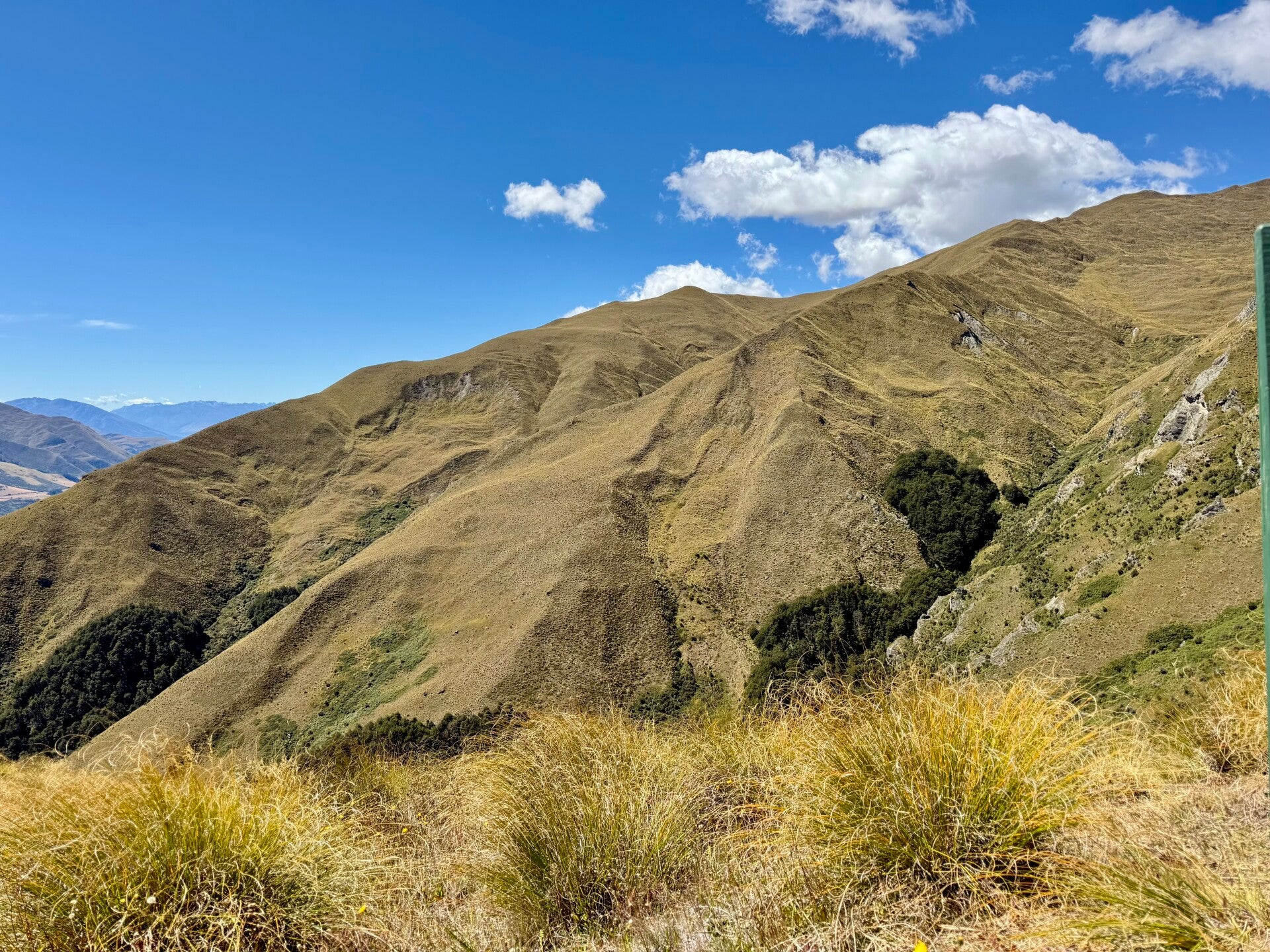
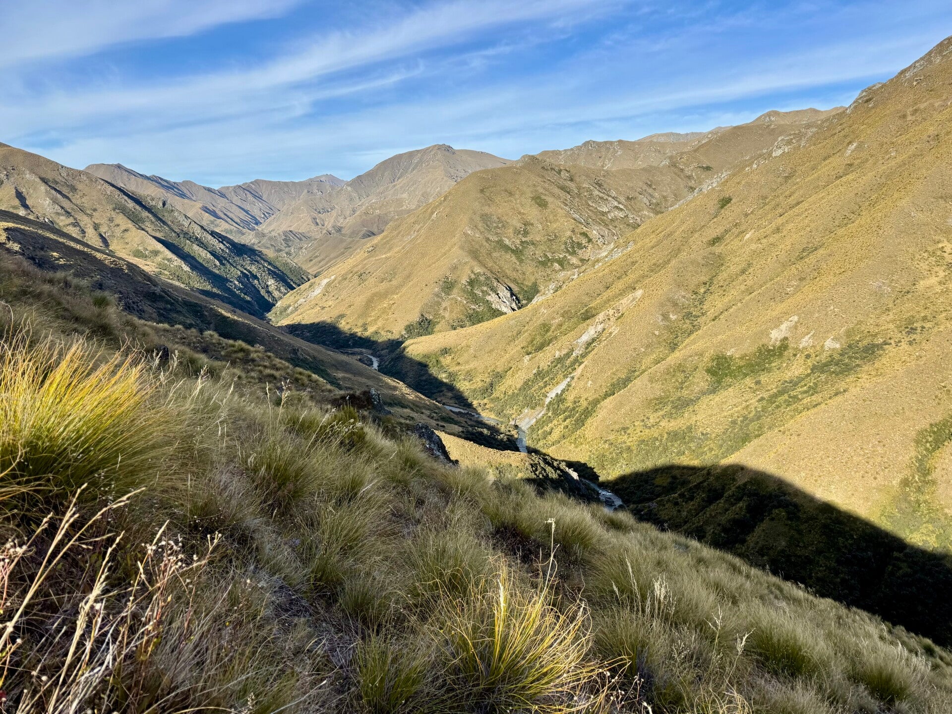
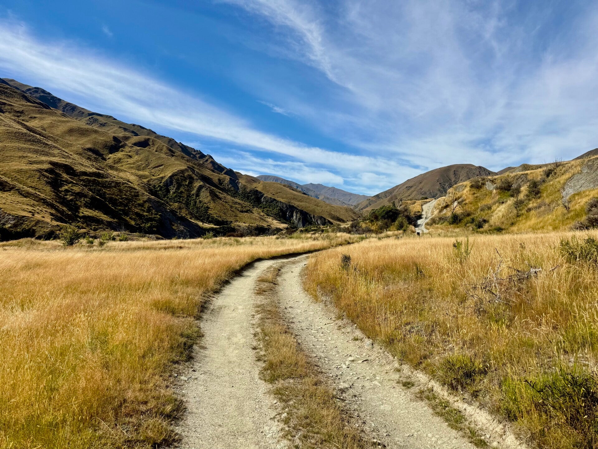
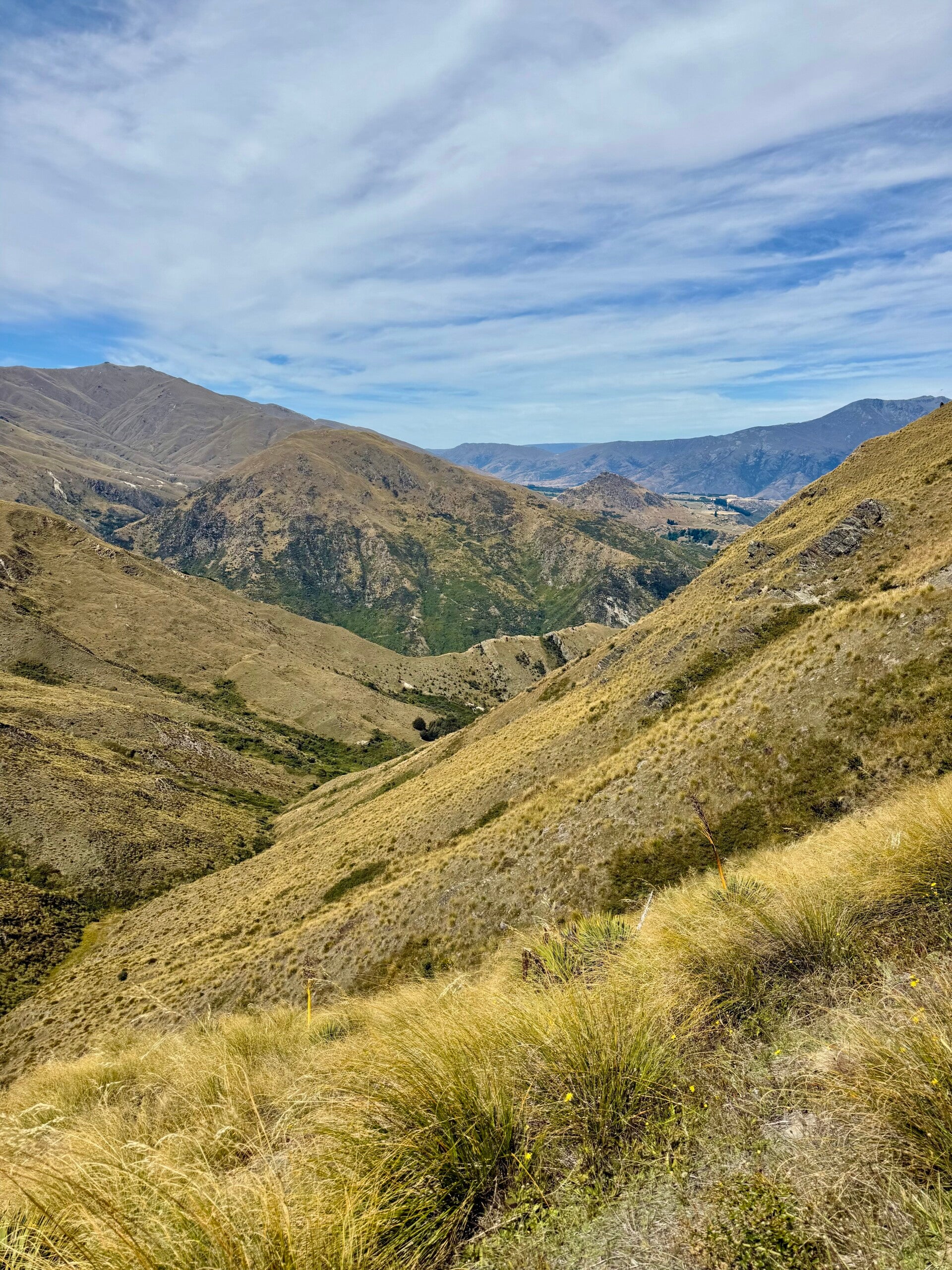
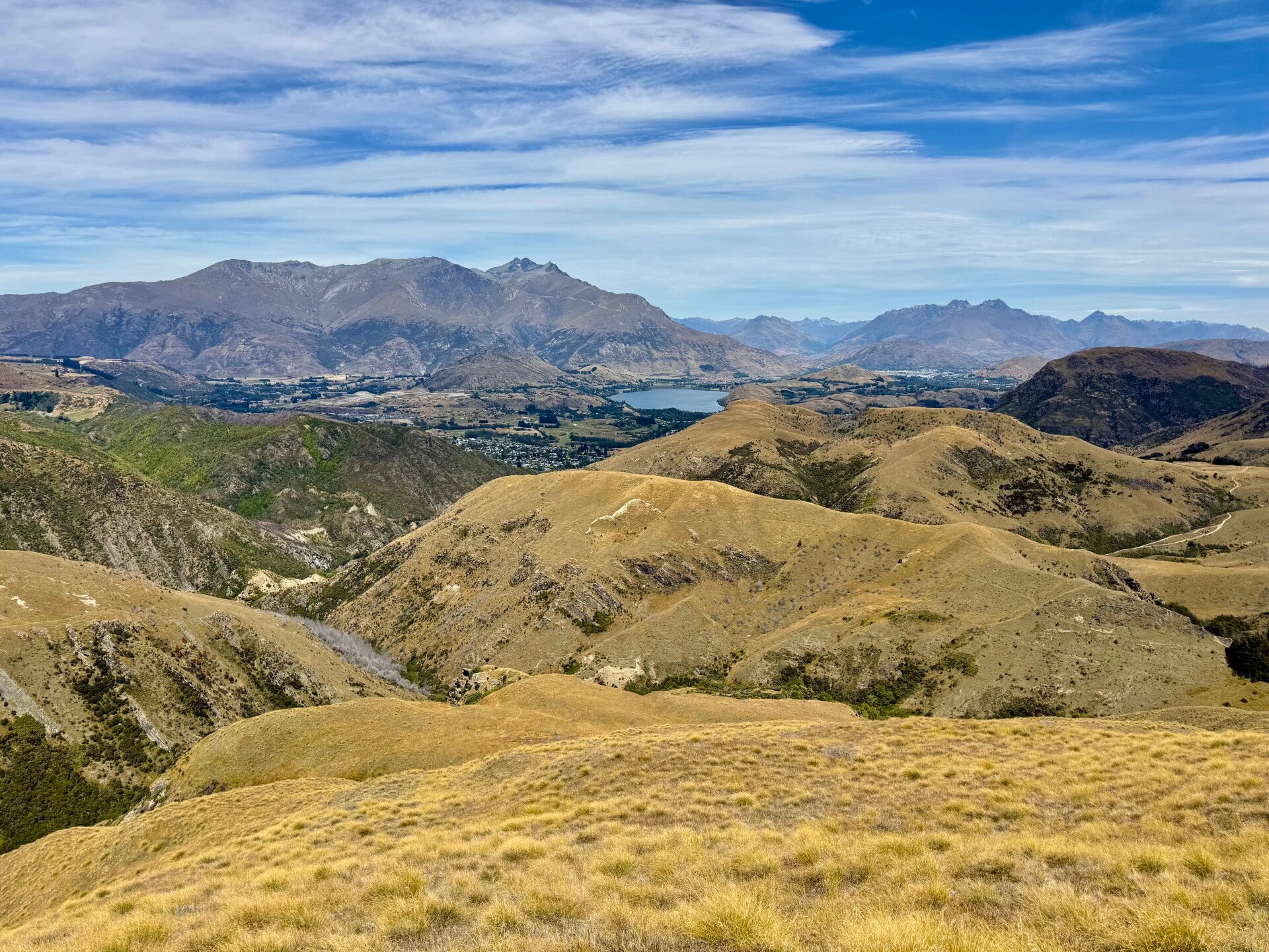
It's cold this morning, the hut around which we've pitched our tents is nestled in a small hollow. But as I begin climbing the summit overlooking the area, the cold slowly dissipates, giving way to another beautiful summer day. Reaching the pass, I enter another valley that opens up before me, still covered in that typical yellowing grass. The shadows accentuate the contours, which seem bathed in a golden light.
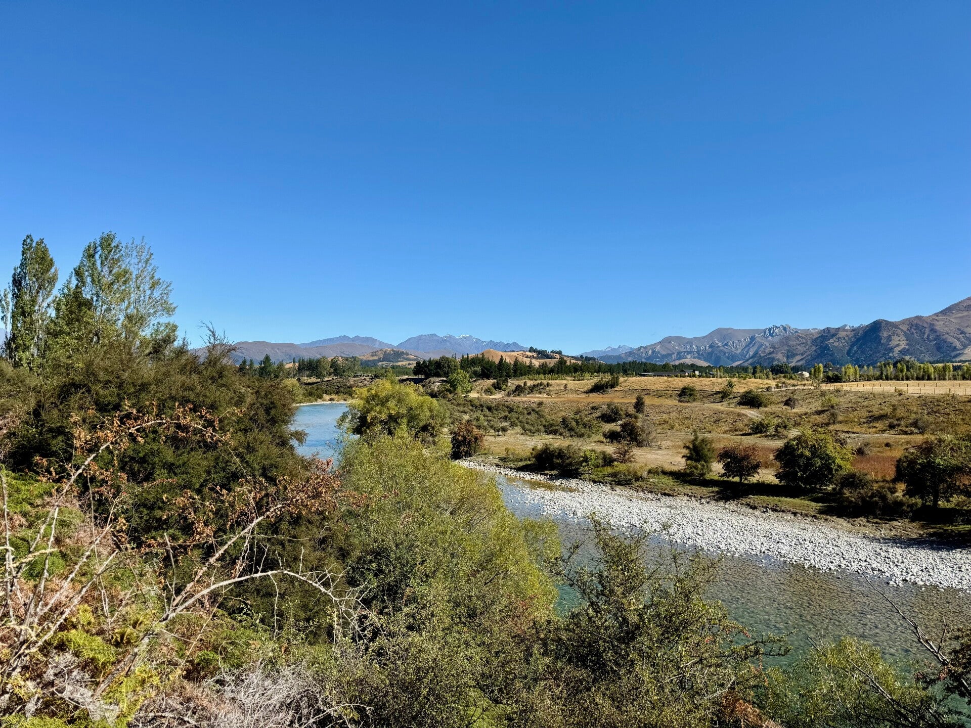
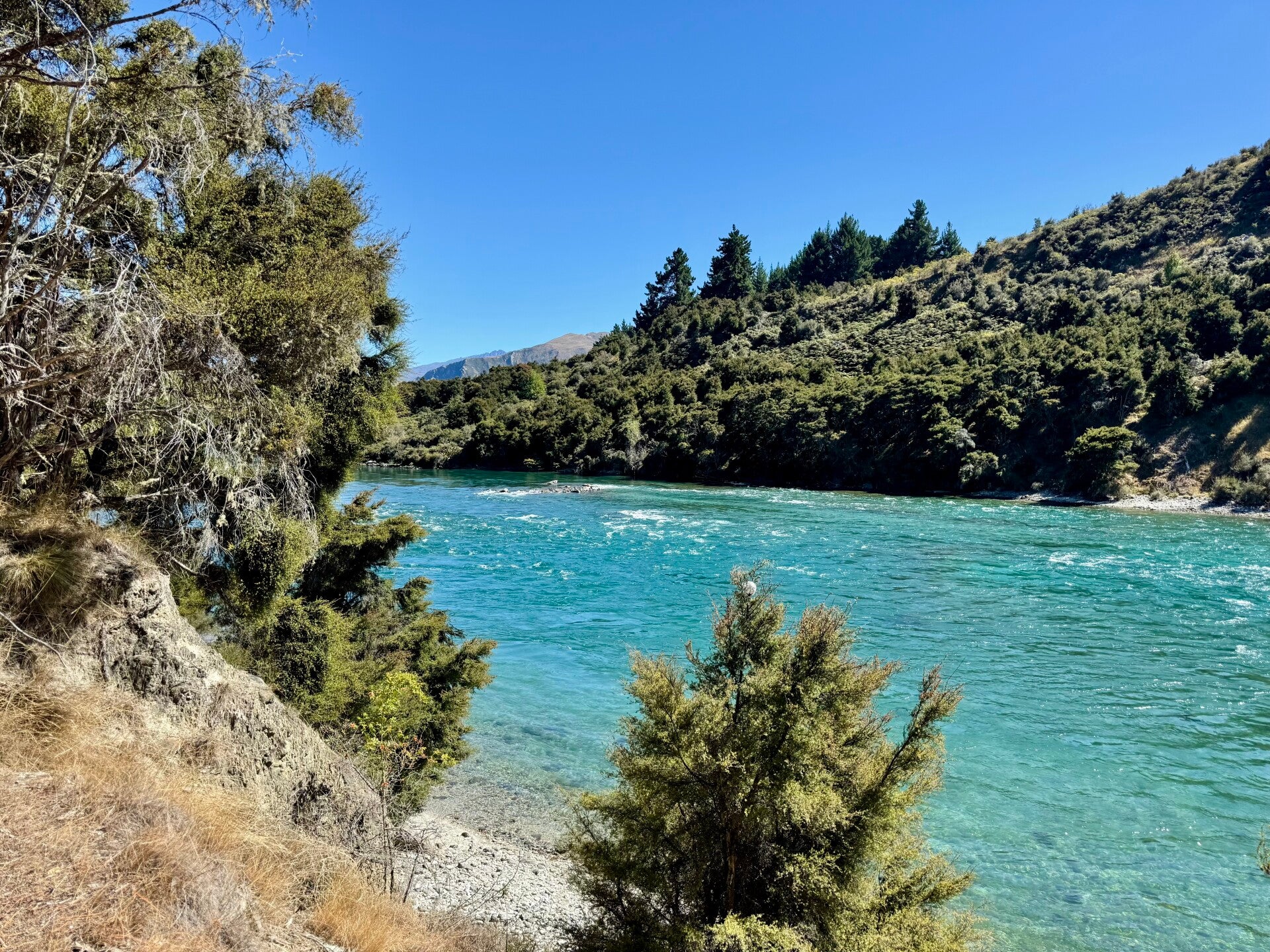
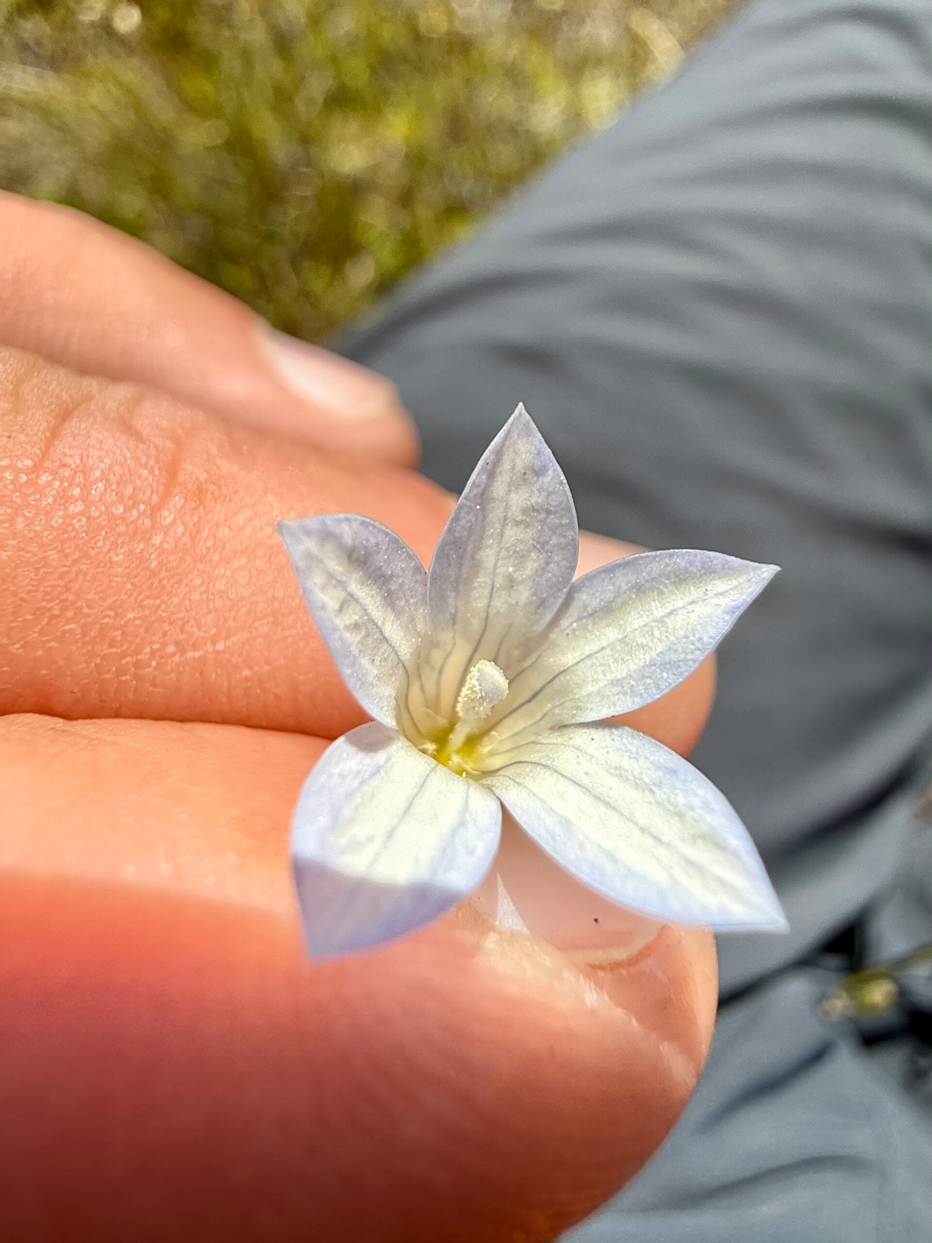
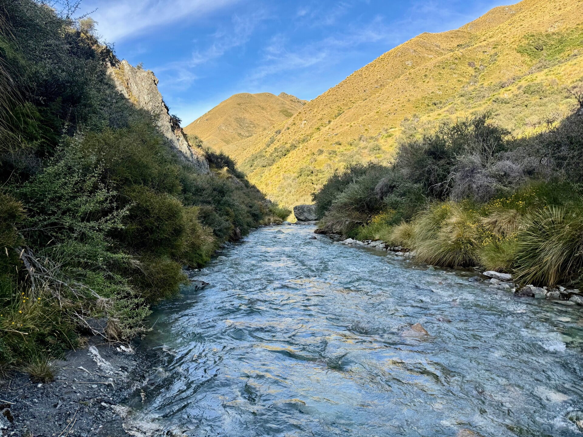
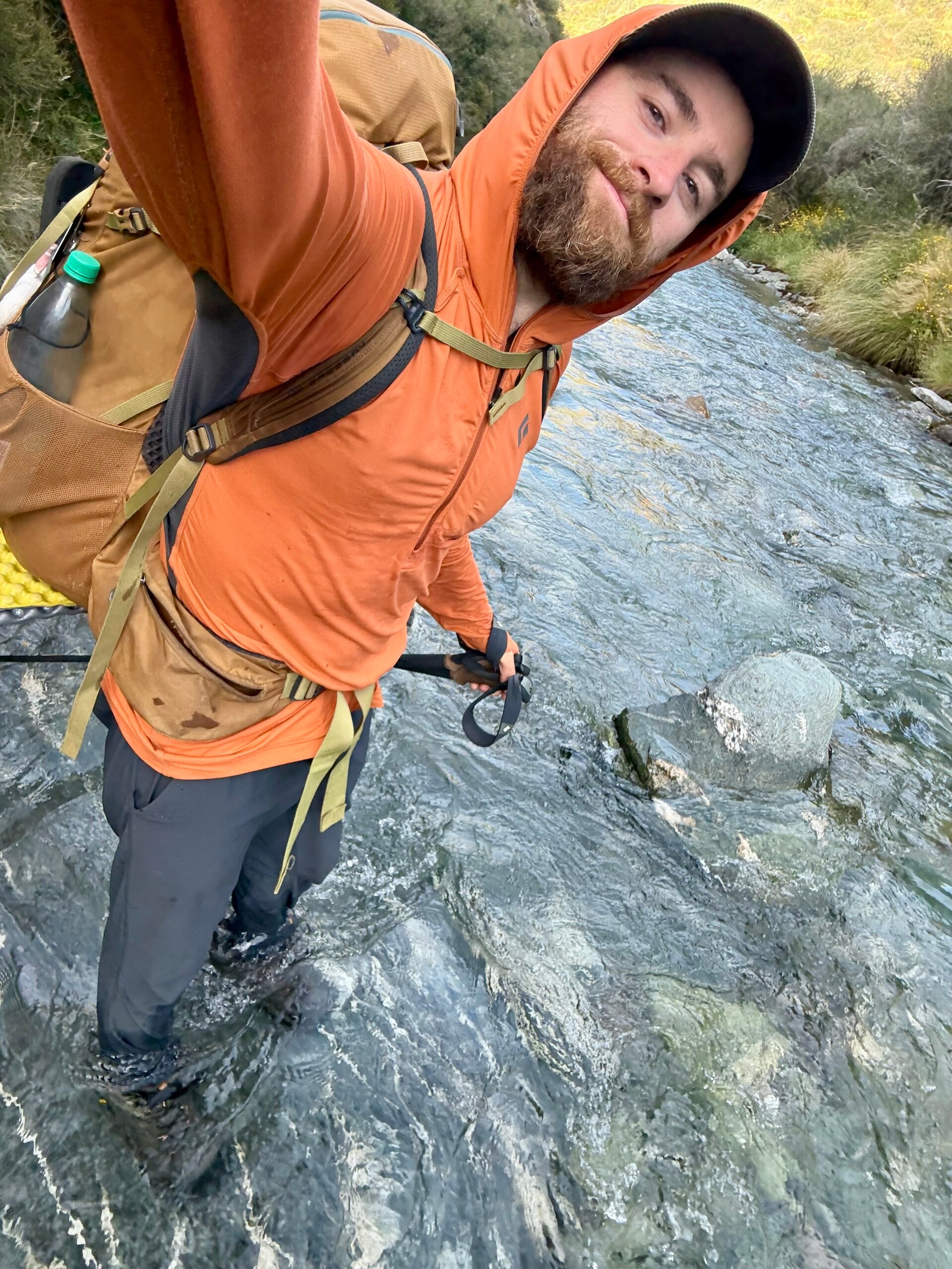
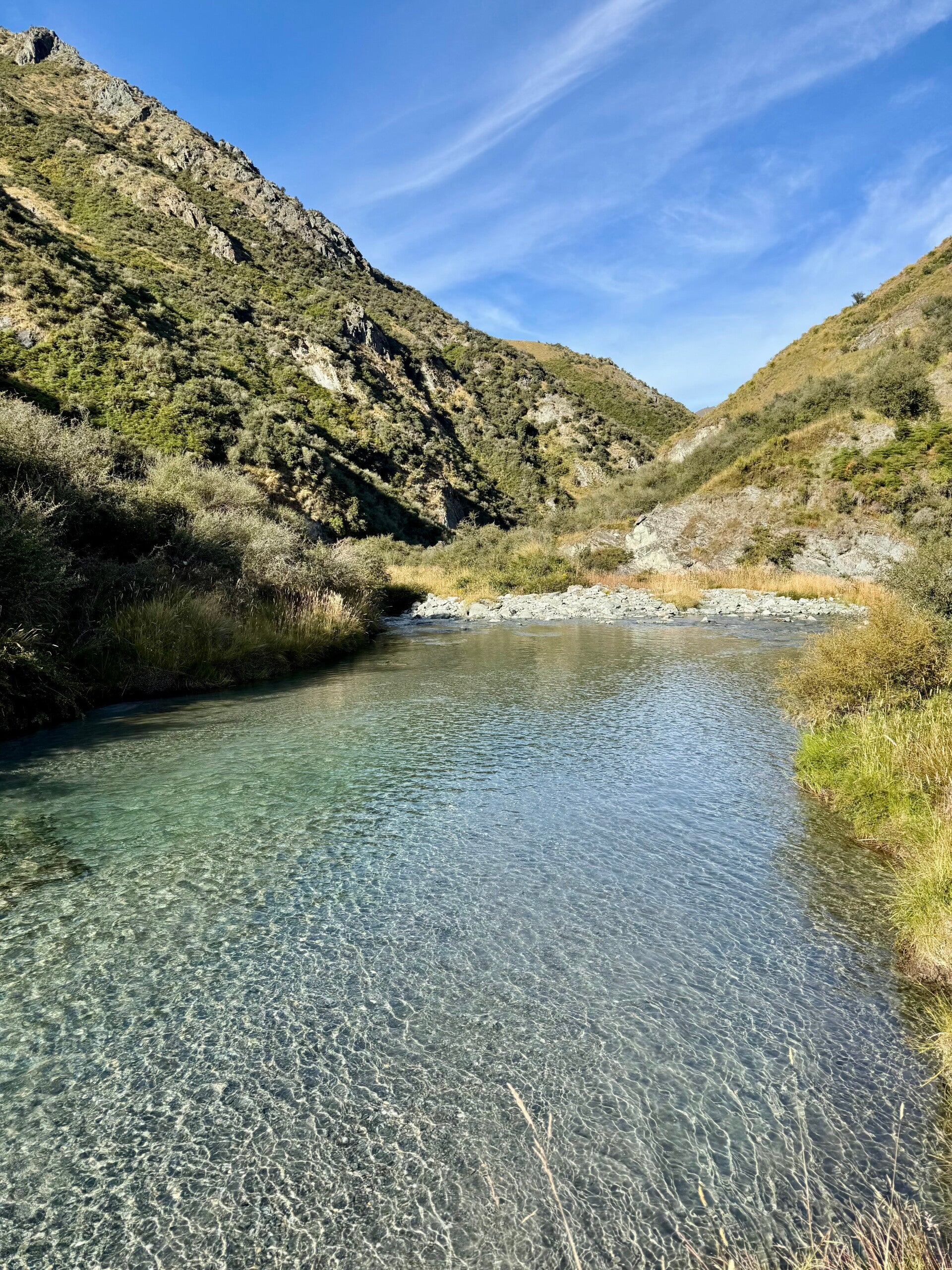
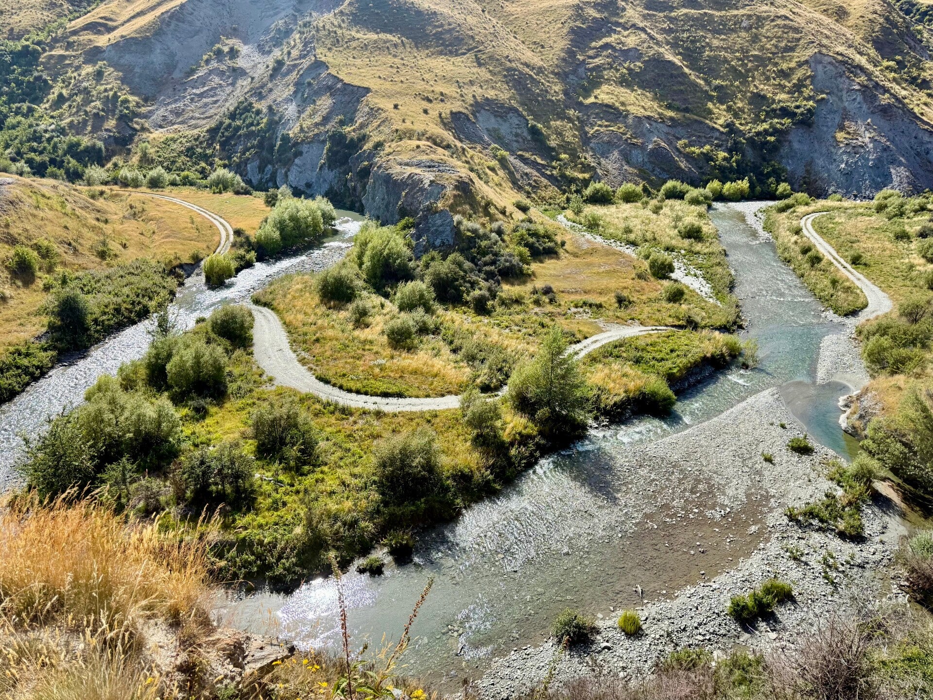
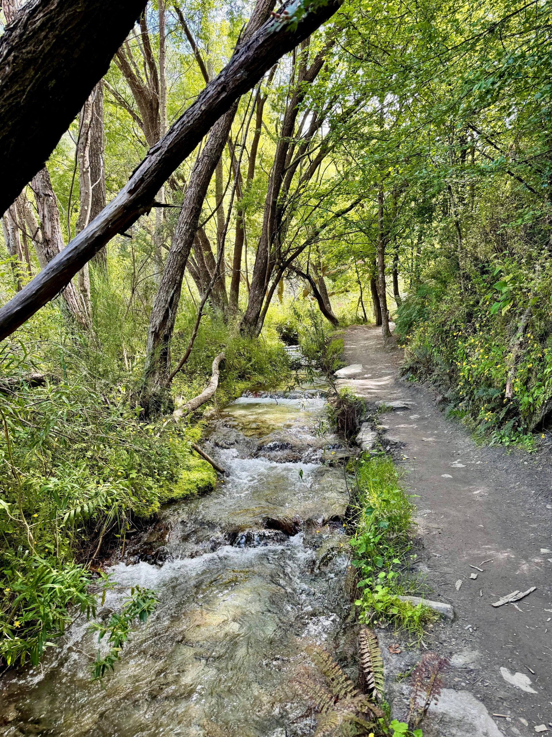
At the bottom of the valley, I enter a river that will be my path for the next six kilometers, its banks sometimes steep, sometimes overgrown with thorny bushes called Matagouri. The water is icy cold, and my feet quickly go numb. But the river is magical; the crystal-clear water flows over a bed of multicolored pebbles, sometimes bluish, anise green or sage, orange, or in various shades of gray.
I read in my notes that I would be passing through the old village of Macetown, known for being the site of a gold rush in the second half of the 19th century, boasting up to 500 inhabitants at its peak. But the isolated location and harsh winters led to the village being abandoned in the 1920s.
With this information in mind, I let my imagination wander as I walk, trying to recreate the unique atmosphere of the gold prospectors 150 years earlier. I picture them working in mines or sifting through the river gravel to find a few nuggets. And at that very moment, I come across a man in his sixties equipped with a metal detector, probing the riverbed. I am fascinated, so I try to ask him a few questions, but he is rather reluctant to answer… which is understandable, since if he finds gold, he certainly isn’t going to say it out loud.
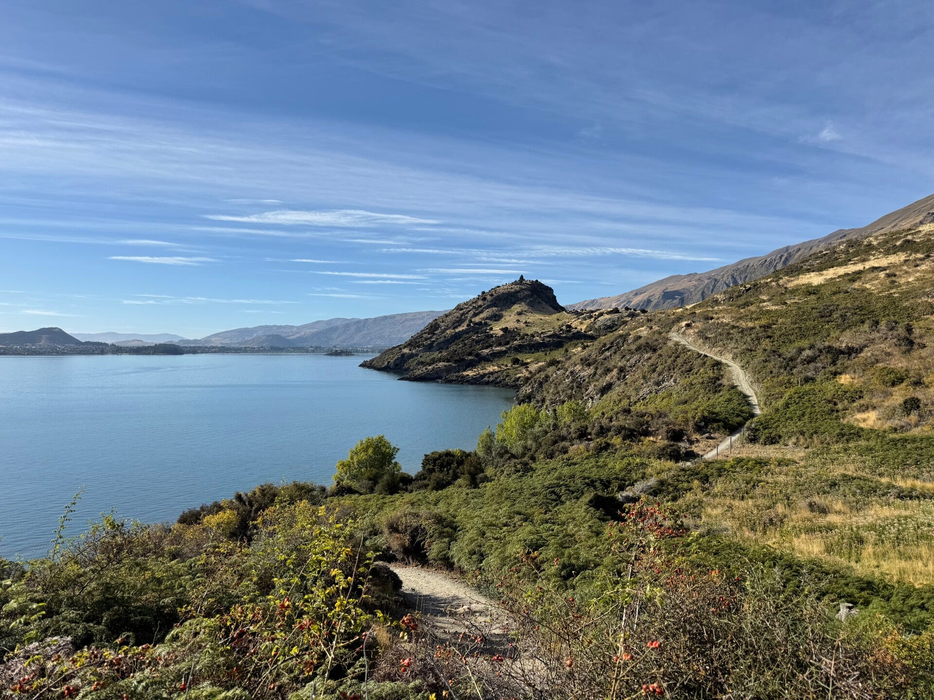
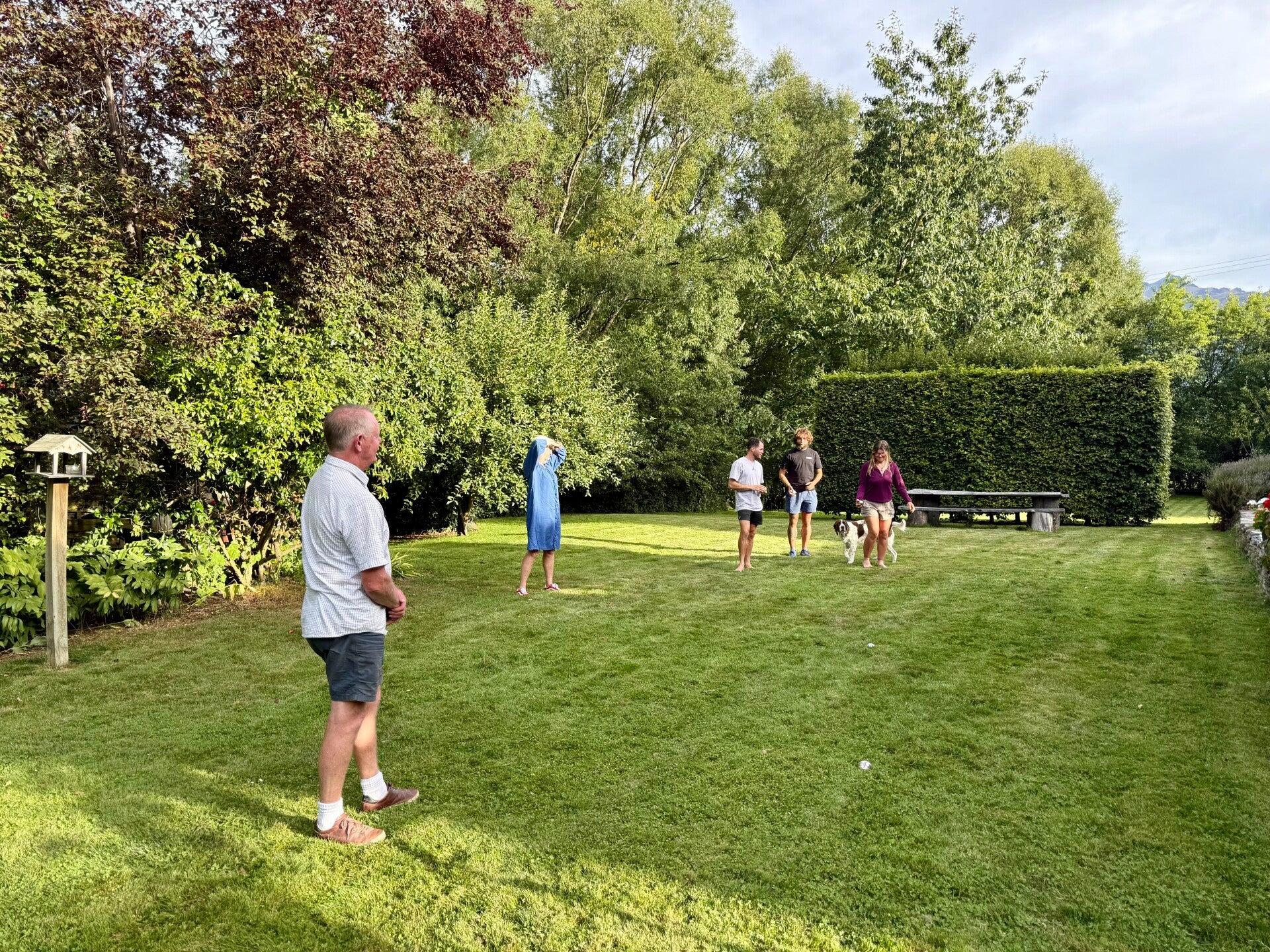
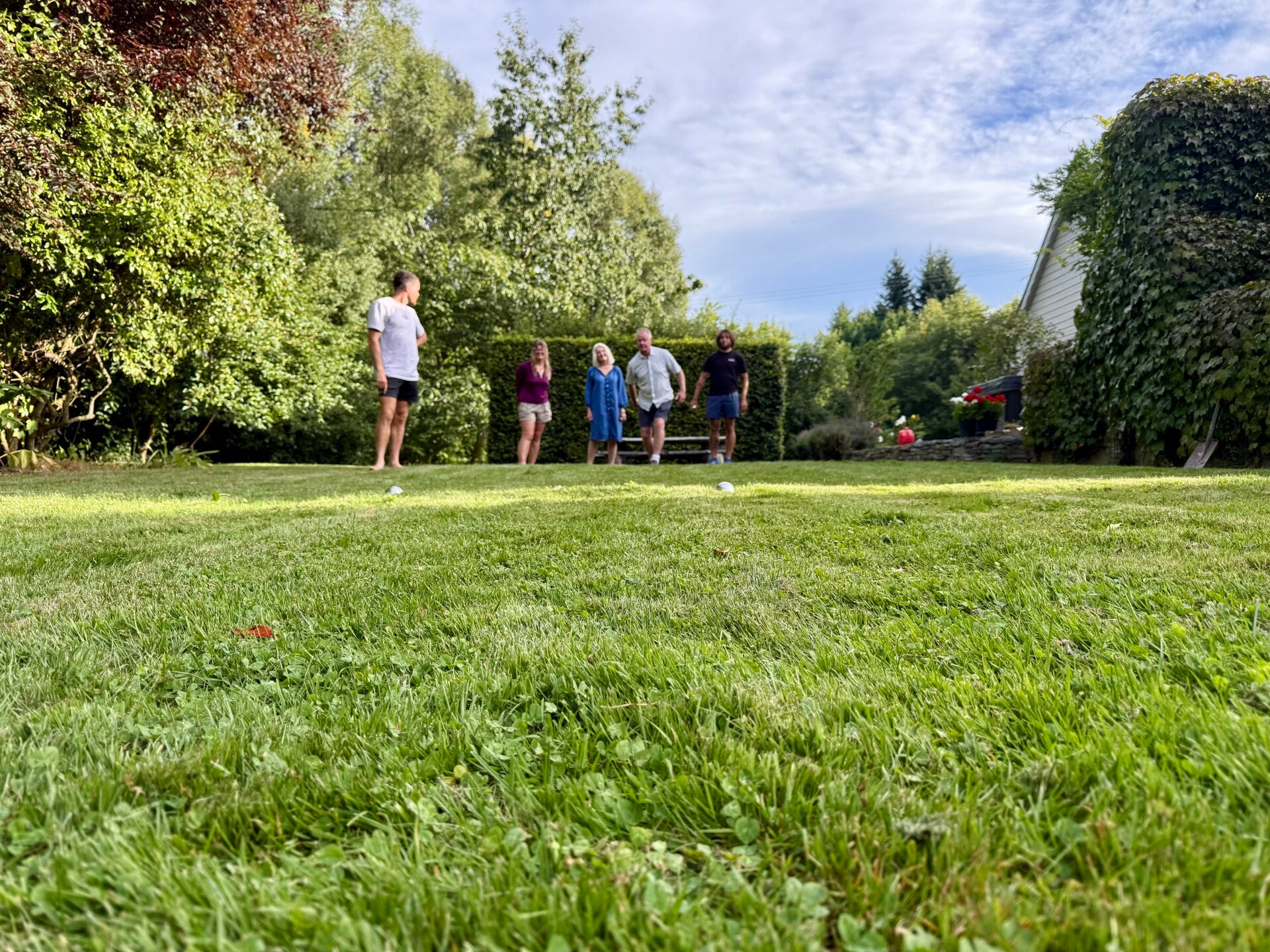
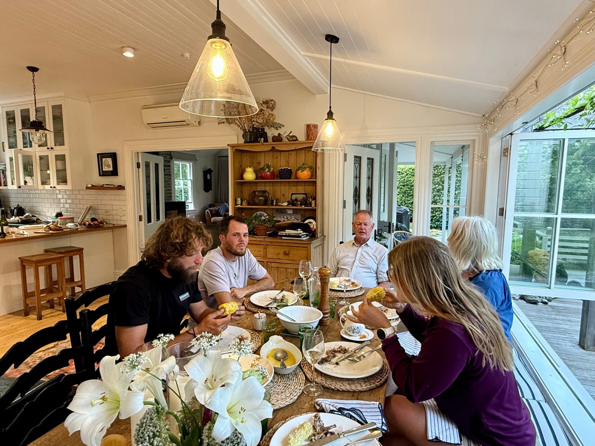
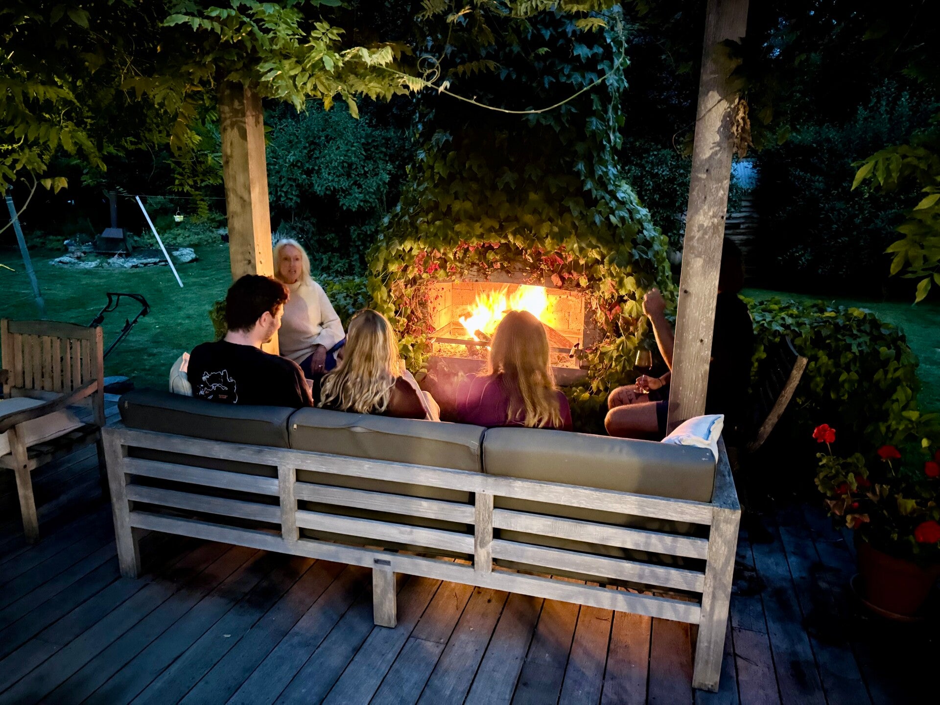
After finishing the river section, I turn right and climb one last pass, which, after its summit, reveals another valley winding its way to the town of Arrowtown, next to Queenstown, where we will spend a rest day at our friend Hal's place. For those who remember, we had descended the Puketi River on the 9th day of my adventure with Hal; it seems like an eternity has passed since then. He and his wife, Jane, welcome us into their lovely house, which dates back to the 1880s and has a wonderful charm.
We are having a very pleasant evening, Hal doing his utmost to make us feel like a French night, even inviting us to play pétanque… on the lawn. I guess it's the thought that counts!
🗓️ February 26, 2026 (day off trail)
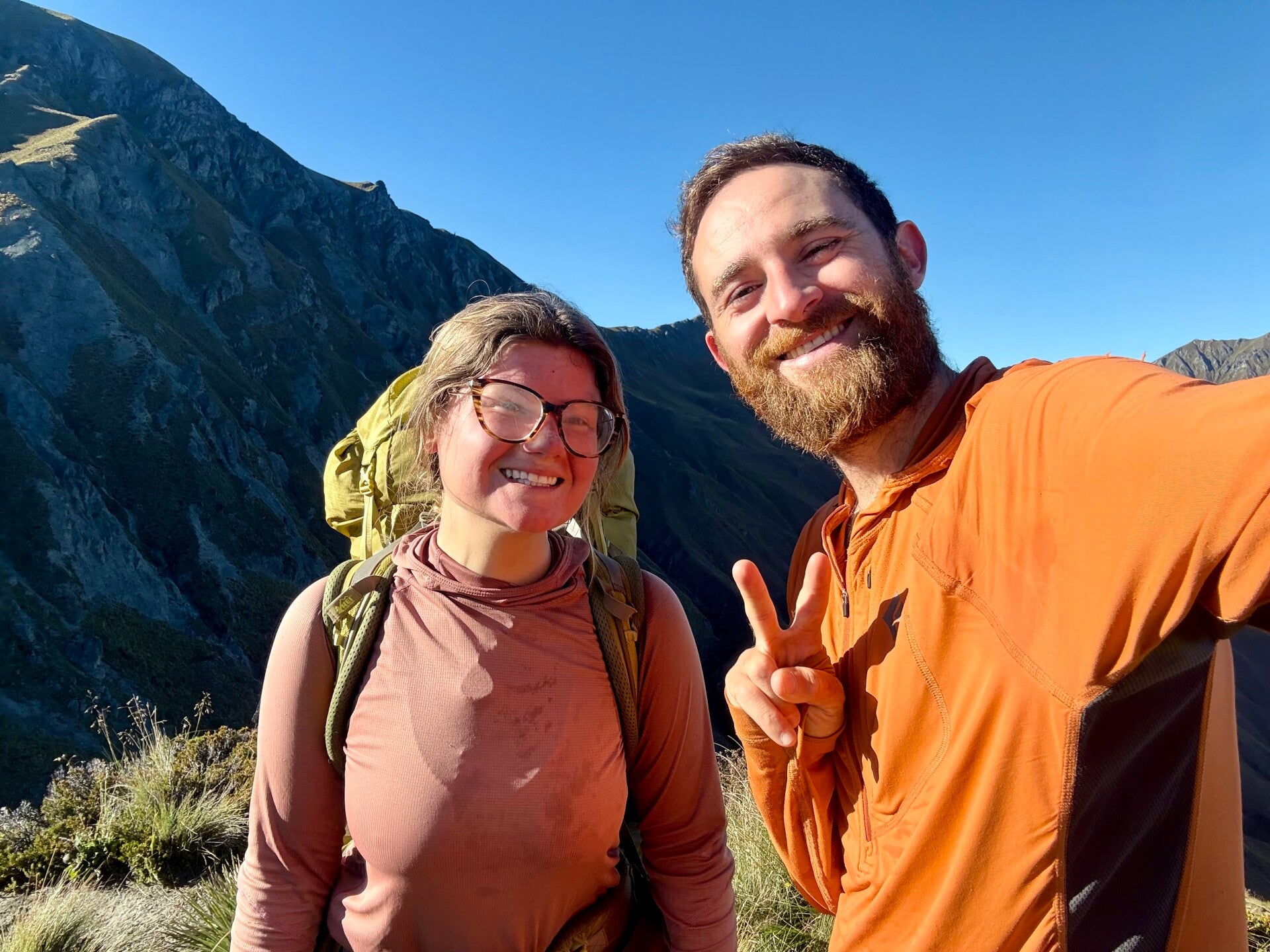
Photos from February 22, 2026
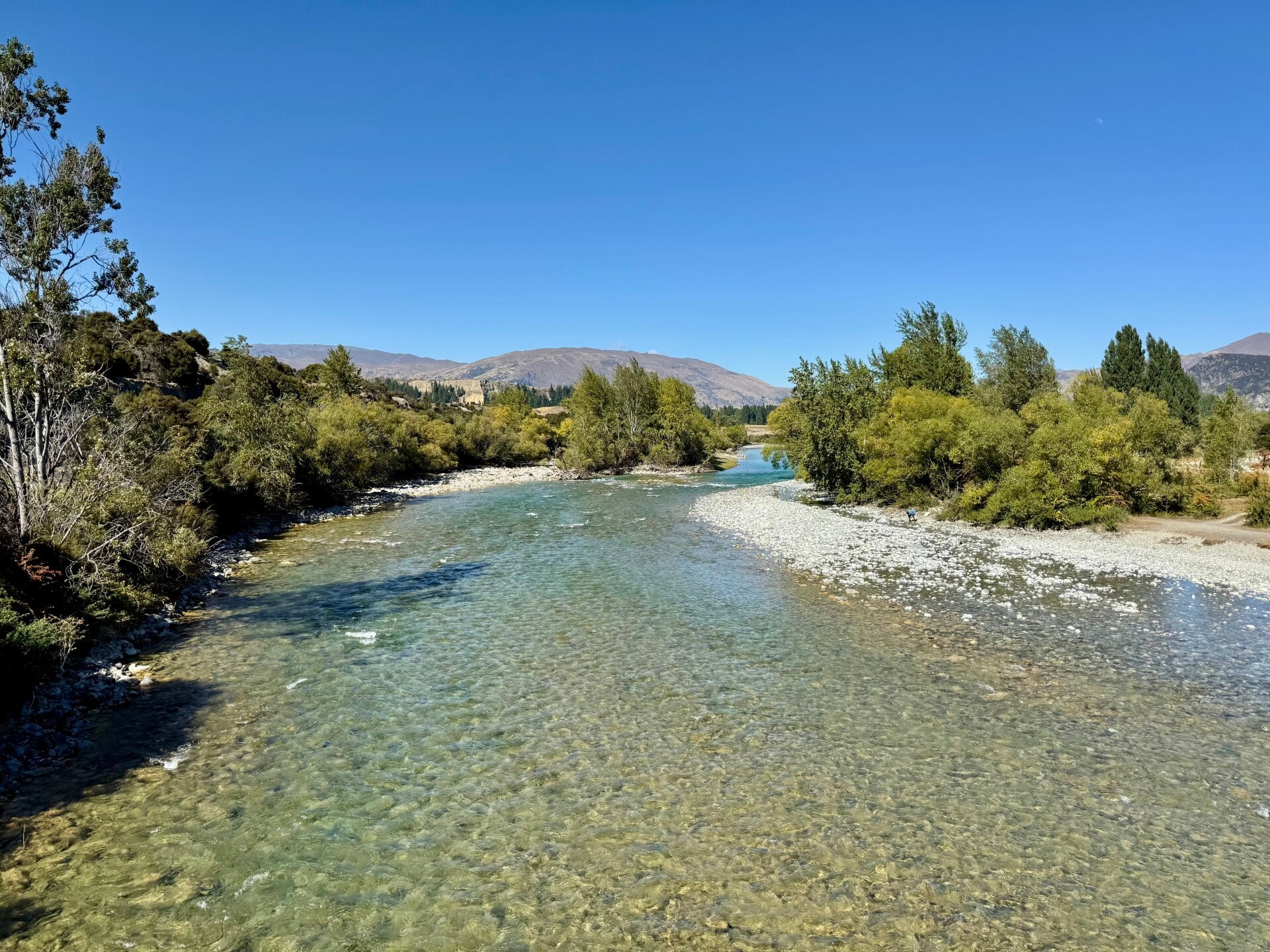
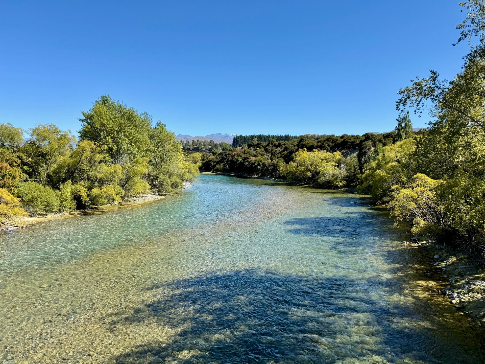
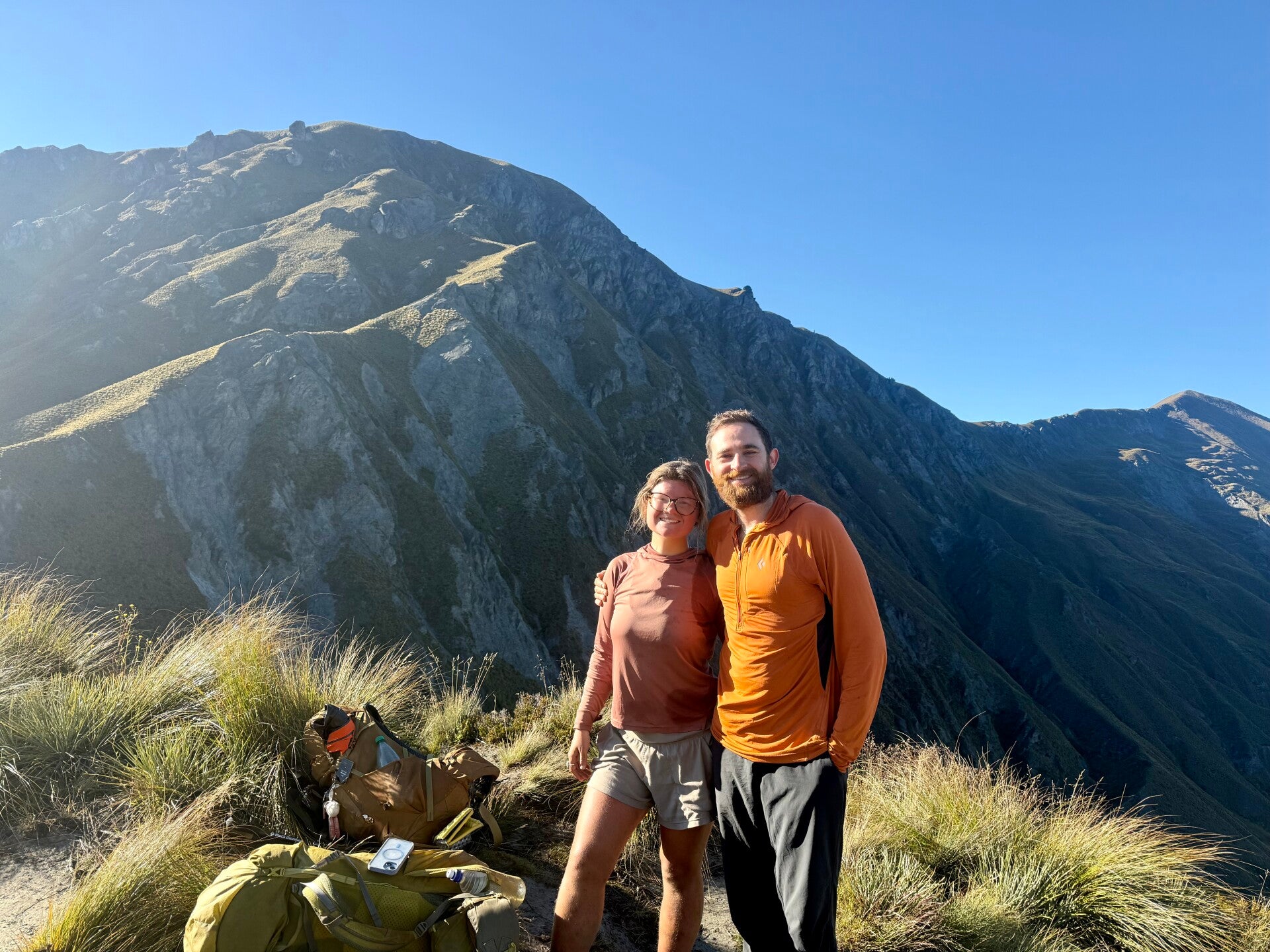
Photos from February 23, 2026
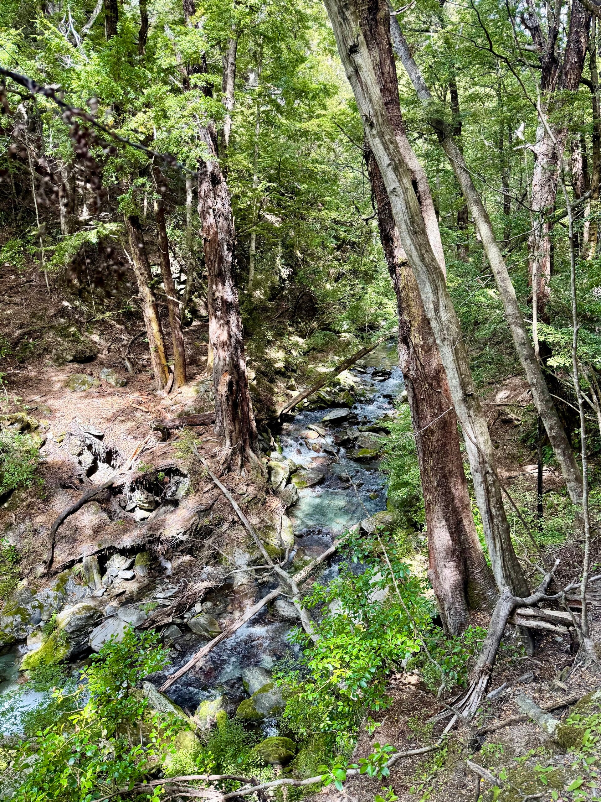
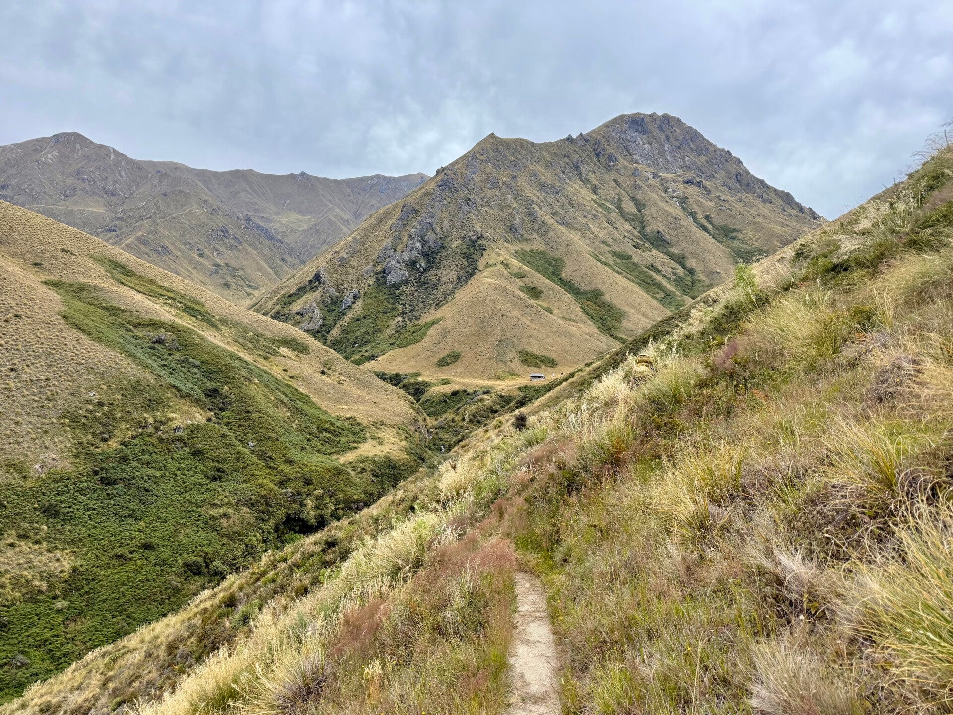
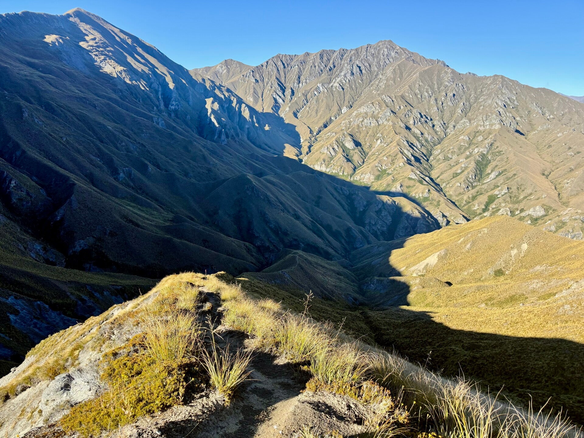
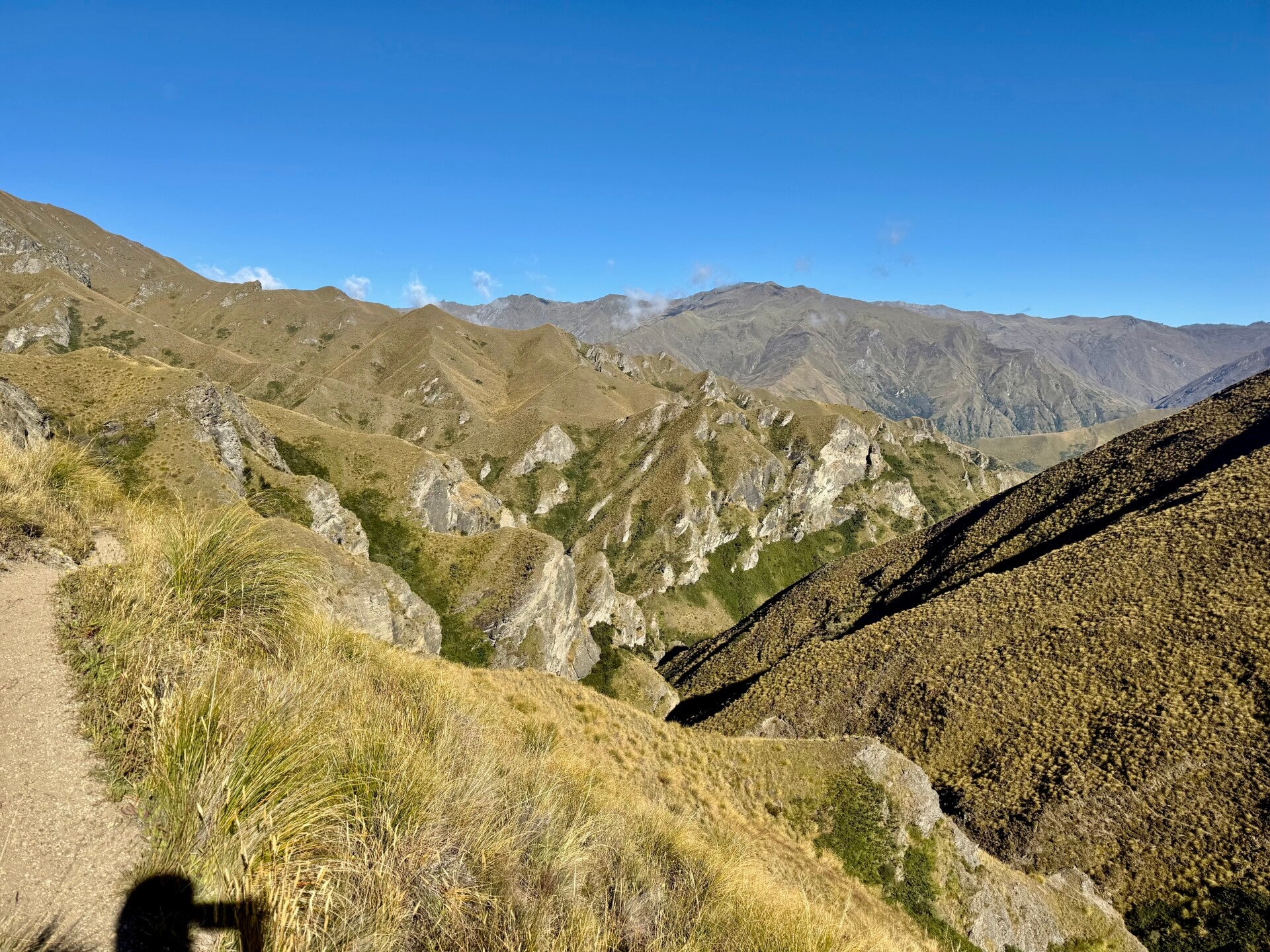
Photos from February 24, 2026
Add comment
Comments